
McCarthy, James Fitzroy (sold)
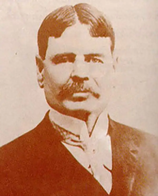
James Fitzroy McCarthy (1853 - September 23, 1919) was an Irish surveyor and cartographer who was instrumental in the setting of Thailand’s borders in the late 19th century. By 1873 he was a member of the Survey of India, and his duties with the survey led him through Burma to Siam, where he would undertake what would prove to be his most enduring work. He produced the first scientific maps of Siam, which became the documents of reference during that period’s colonial conflict between the British and French over Southeast Asia. In 1885 he became the first Director-General of Siam’s Royal Survey Department, later the Royal Thai Survey Department, which was established in 1885.
By far the best map of Siam available to the public at the turn of the century' -H. Meinheit
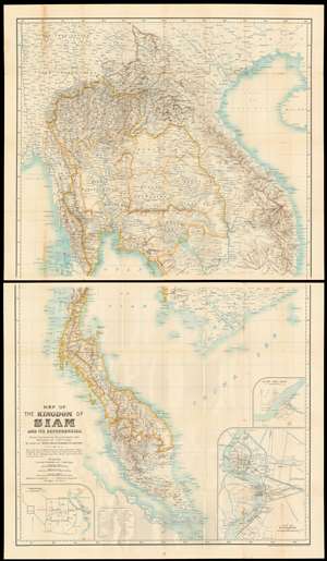
Map of the kingdom of Siam and its dependencies
sold
- Digital Map Information
- Suitable for large format printing
- File Size: 66.39 MB
- File Type: ZIP / TIFF
- ICC color profile embedded
- Delivered instantly via download link
This is James Fitzroy McCarthy’s 1900 Map of Thailand / Siam and the surrounding countries: it is the first complete, scientific map to present this region, produced at a time when French diplomat, explorer and surveyor August Pavie was surveying the same region. The two-sheet map shows all of Siam, eastern Burma, Laos, Cochinchina and the Malay Peninsula. There are inset plans of Bangkok, Chiang Mai, and Luang Prabang on the lower sheet. (more details)