
Murr, Christoph Gottlieb von (sold)
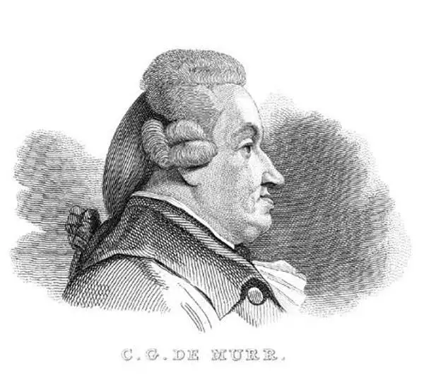
Christoph Gottlieb von Murr (August 6, 1733 – April 8, 1811) was German polymath and scholar, living and working in Nuremberg. A historian and magistrate, he was prolific in print, appearing in many journals during his life. His writings extended to natural science, art history, and on the history of early libraries and books, both manuscripts and incunables. He was a vigorous correspondent and maintained a large library of his own. His early life is not known; he studied at was for the law, on its completion he instead began work as a historian. Many of his published works focused on the history of his native city, as well as its literature and art. Though himself a Protestant, he had become familiar with the Jesuits and wrote about the order and its 1773 suppression. He also reprinted, in 1790, Michael Servetus’ banned 1553 work Christianismi restitutio, burned when its author was condemned to the stake. He published in 1778 – and then continued to publish, in various journals and in several languages – a detailed refutation of the claims (initially floated by the 17th century historian Wagenseil) that Martin Behaim, and not Columbus and Vespucci, had been the first European discoverer of the Americas. It was in the service of this article, in its many translations, that von Murr produced what remains the first large-scale reproduction of part of the famous Behaim globe, and the only such available to today’s collector.
One of the earliest impressions of the only large-scale depiction of Martin Behaim's map.
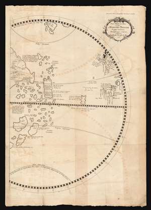
Pars Globi terrestris Ao. 1492. Martino Behaim Equite Lusitano Norimbergae confecti. Delineavit Christoph. Theoph. de Murr. 1778.
sold
- Digital Map Information
- Suitable for large format printing
- Full resolution TIFF file
- ICC color profile embedded
- Delivered instantly via download link
This fascinating and unique map, printed in 1787, is one of the earliest acquirable representations of the western hemisphere as it appeared on the oldest surviving globe - Martin Behaim's Erdapfel, a manuscript globe produced in Nuremberg in 1492. Behaim's globe was influential and fascinating, offering a glimpse on the imagined form of the world at the time of Columbus. Behaim's fame, amplified by supporters over the following centuries, led some to scholars to suppose he himself traveled across the Atlantic to America, or at least that supplied the theory to Columbus that the Atlantic route to the East Indies was navigable. The present map, copied from the western hemisphere of Behaim's globe by the historian Christoph Gottlieb von Murr, was produced as evidence that Behaim had neither stolen a march on Columbus, nor guided him. Having marshaled his evidence, von Murr says that 'history, and the globe destroy absolutely all these so - called facts, and prove (Behaim) had no knowledge of America.' (more details)