Most recently added antique and rare maps as of 7/14/2025.
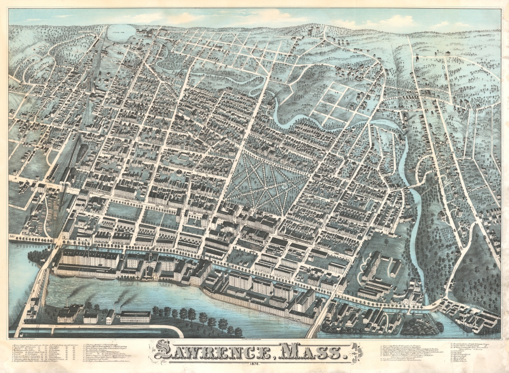
America's first planned industrial city.
$2,000.00
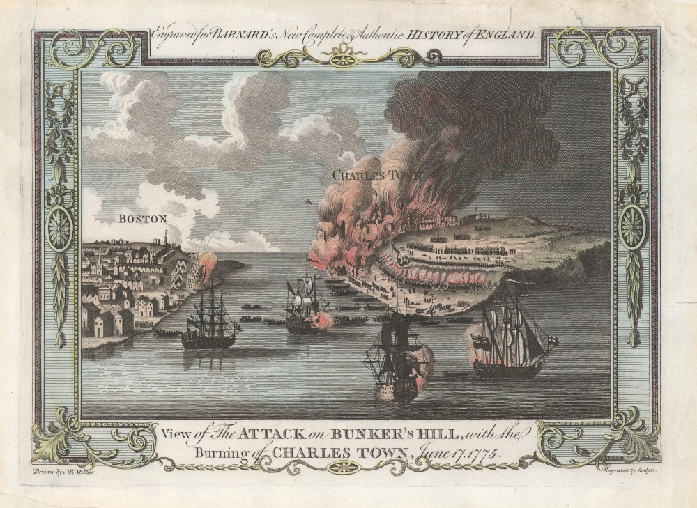
Giving hope to the revolutionary cause.
$1,200.00
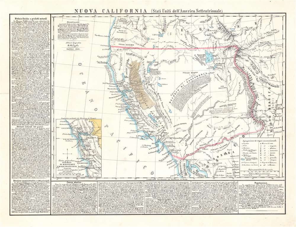
Italian Map promoting the California Gold Rush.
$1,200.00
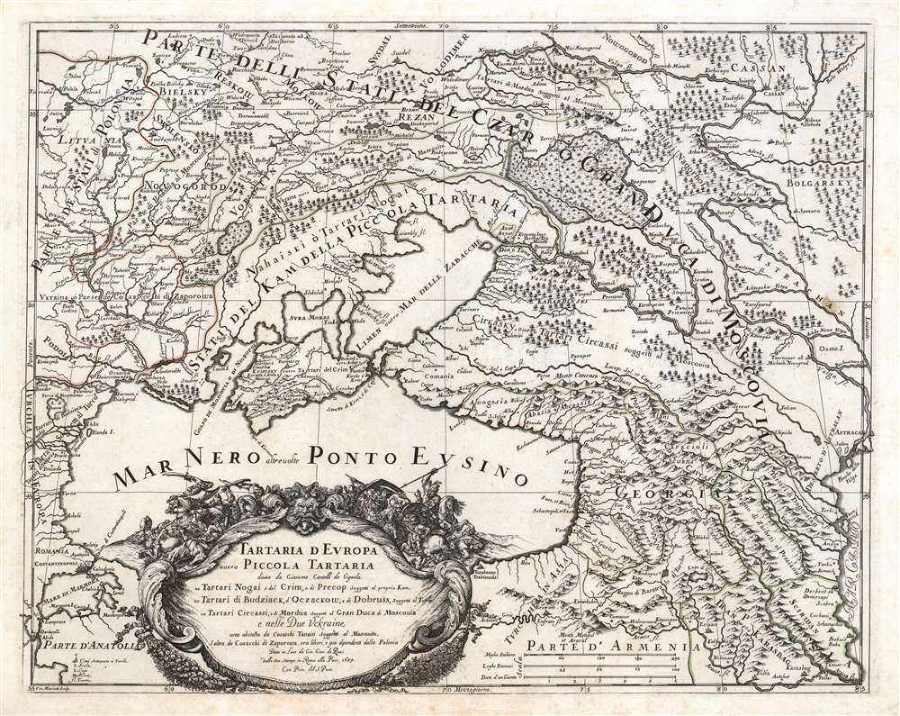
Crimea and Caucasus of the 17th century.
$1,200.00
By a pioneering female cartographer.
$600.00
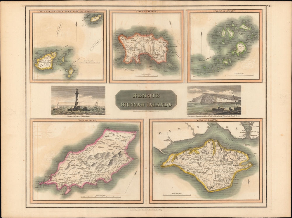
The Outer Edge of England.
$250.00
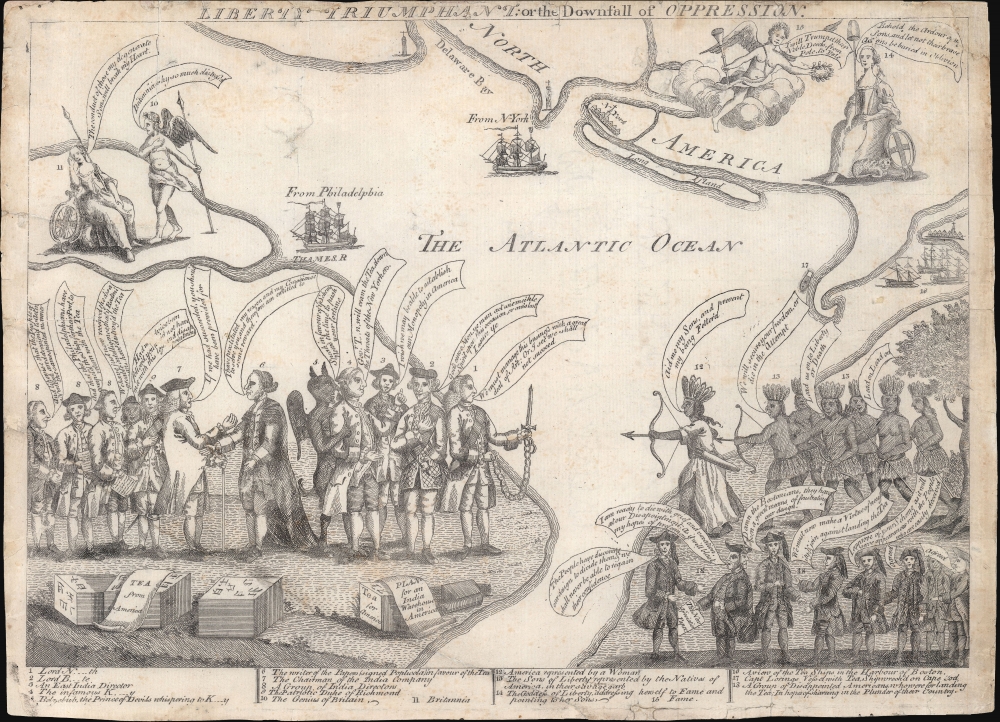
Early American Political Satire: In the wake of the Boston Tea Party.
$45,000.00
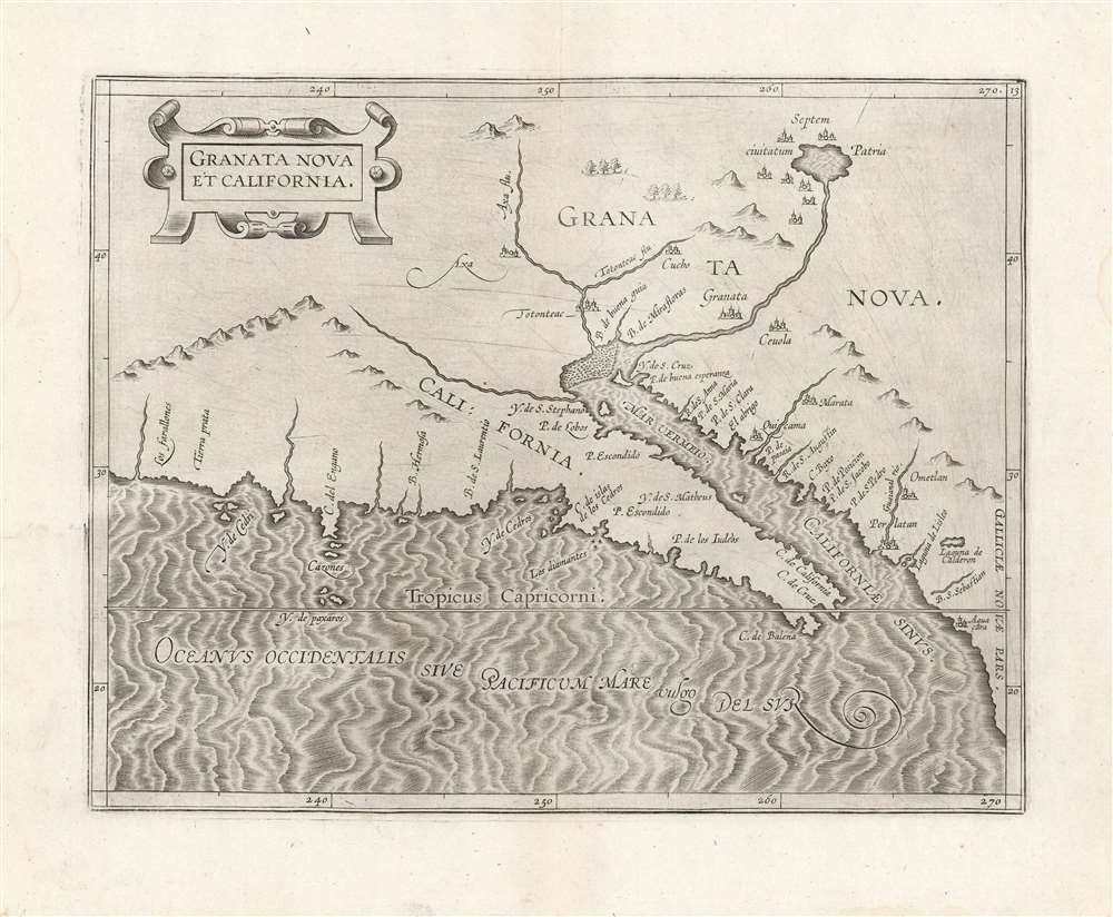
First Printed Map specifically of California.
$3,500.00
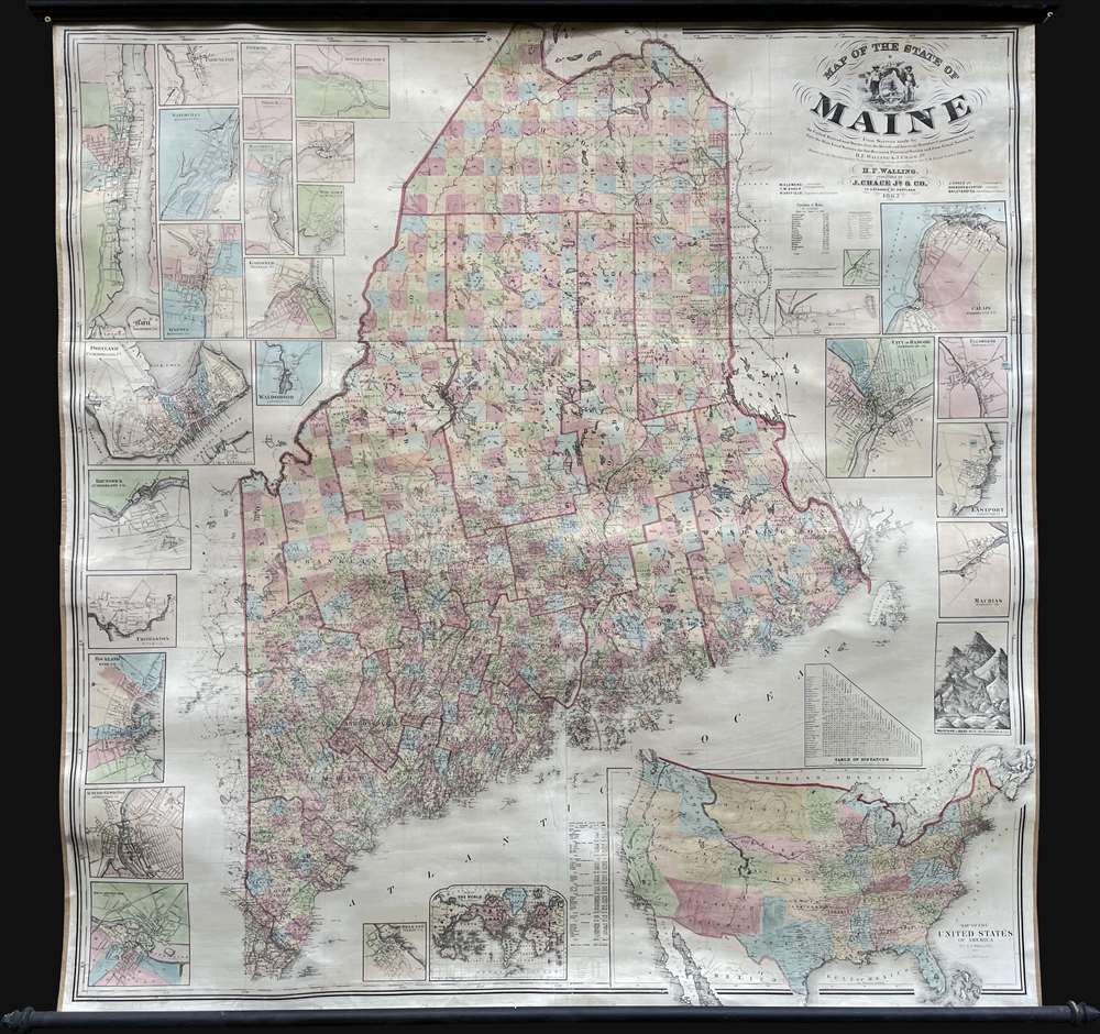
First large scale map of the state to be issued after the Greenleaf third edition of 1844. - Rumsey
$3,000.00
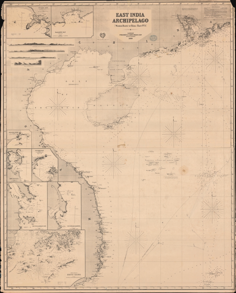
Do You Know the Way to Cam Ranh Bay?
$1,400.00
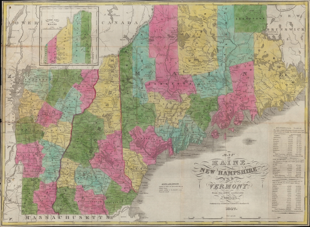
Settling the great northern wilderness.
$1,250.00
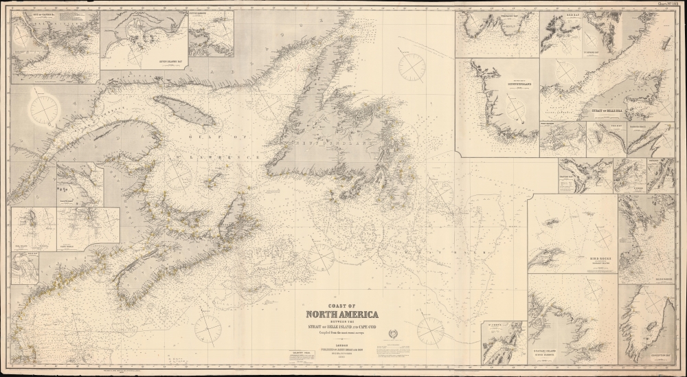
From the St. Lawrence to the Cape.
$1,200.00
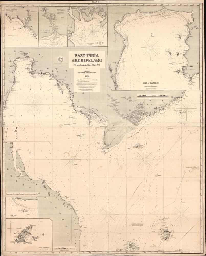
A Marvelous Late 19th Century Chart of the Gulf of Thailand.
$1,200.00

