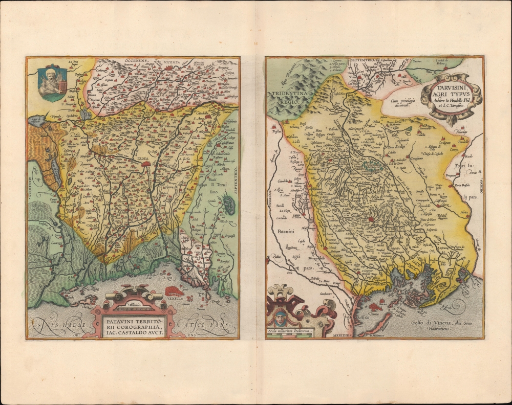
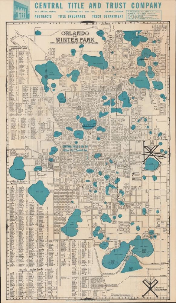
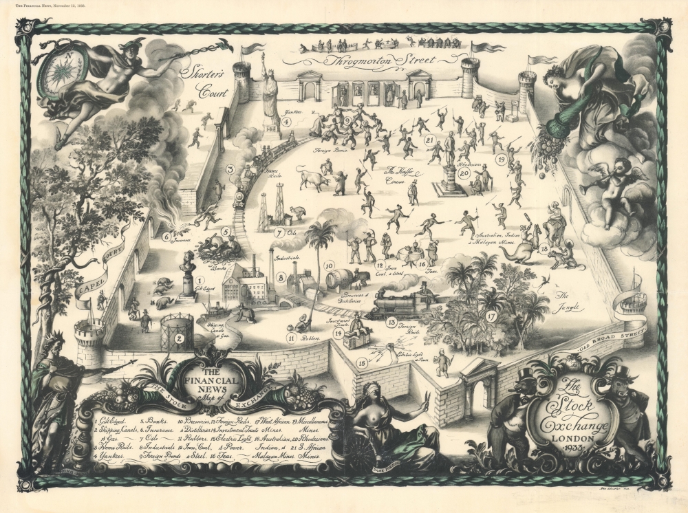
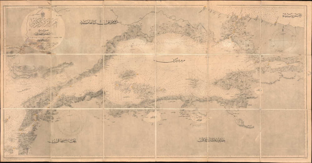
Most recently added antique and rare maps as of 8/25/2025.
1573 Ortelius Maps of Southern Austria, Croatia, and Slavonia
The 16th Century European Frontier.
$550.00

1949 War Office Survey Map of the Tathong Channel, Hong Kong
The Eastern Entrance to Victoria Harbour.
$500.00

1933 Whistler Pictorial Map of the London Stock Exchange
Opportunity, globalization, regulation, and barriers to entry.
$6,500.00

1896 Admiralty Chart of the Sea of Marmara in Ottoman Turkish
Modernizing Ottoman maritime data.
$3,250.00

1893 Loring Broadside for the Ancient Order of United Workmen
Setting the standard for employer-sponsored worker insurance.
$2,000.00

1595 Ortelius Map of Switzerland
First atlas map of Switzerland, in superb original color.
$1,000.00

1748 Bellin Map of the World
Greatest map from Prevost's Voyages.
$875.00

1595 Ortelius Map of Brabant, the Netherlands and Belgium
Ortelius' Map of His Home Region.
$800.00

1922 Yvorra and Barlier City Plan or Map of Tunis, Tunisia
Tunis after decades of unrest.
$550.00

1969 Van Arsdale Map of the Western and Northwestern United States
Traces stagecoach lines, railroad routes, and wagon trails.
$500.00

1683 Nicolas Sanson Map of West Africa
French Mapping of Africa for a Dutch Audience.
$300.00

1579 / 1595 Ortelius Map of Picardy, France
Picardy Belongs to the Low Countries, Says Ortelius.
$300.00

1814 Carey / Gridley Map of Kentucky
Early map of the Bluegrass State.
$800.00

1768 Bellin / Horrebow / Knoff map of Iceland
Edition of the first map of Iceland based on Trigonometric Survey.
$375.00