
Patterson, Carlile Pollock

Carlile Pollock Patterson (August 24, 1816 - August 15, 1881) was the fourth superintendent of the United States Coast Survey. Born in Shieldsboro (now Bay St. Louis), Mississippi and the son of the American naval officer Daniel Todd Patterson (1786 - 1839), Carlile joined the navy as a midshipman in 1830. He graduated from Georgetown College in Kentucky as a civil engineer in 1838 and was attached to the U.S. Coast Survey from 1838 - 1841. In 1841, he was commissioned as a lieutenant. As commander of the Coast Survey schooner Phoenix, Patterson led the first USCS hydrographic expedition of the Gulf of Mexico in 1845. Patterson resigned from the Navy in 1853. At the outbreak of the Civil War in 1861, Patterson returned to federal service as a civilian hydrographic inspector in the Coast Survey, in charge of the charting and survey work. He was appointed as the Superintendent of the U.S. Coast and Geodetic Survey in 1874, a post he held until his death.
The Atlantic Coast of Northern New England.
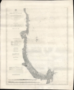
Coast Chart No. 8 From Wells to Cape Ann.
$600.00
Acquire
- Digital Map Information
- Suitable for large format printing
- File Size: 40.81 MB
- File Type: ZIP / TIFF
- ICC color profile embedded
- Delivered instantly via download link
A remarkably detailed nautical map or chart originally produced by the U.S. Coast Survey in 1867, updated to 1878, of the Atlantic coast of New England from Wells and Ogunquit in Maine to Gloucester on Cape Ann, Massachusetts. (more details)
A highly detailed chart of part of the Potomac River.
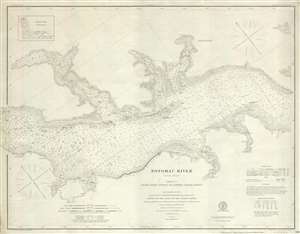
Potomac River Sheet No. 2 From Piney Point to Lower Cedar Point.
$375.00
Acquire
- Digital Map Information
- Suitable for large format printing
- File Size: 11.41 MB
- File Type: ZIP / TIFF
- ICC color profile embedded
- Delivered instantly via download link
This is an 1877 U.S. Coast Survey nautical chart or maritime map of a section of the Potomac River. The map depicts the region from Lower Cedar Point to Piney Point and from Leonardtown, Maryland to Wakefield, Virginia. Highly detailed, myriad depth soundings, ... (more details)
Meticulous chart of the Atlantic Coast from Maine to Massachusetts.
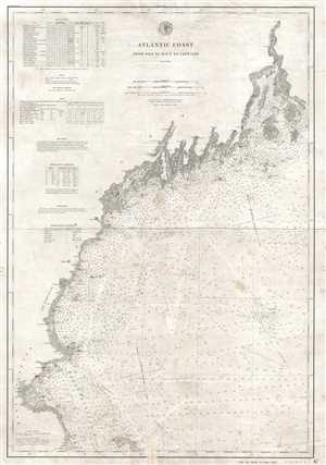
Atlantic Coast from Isle au Haut to Cape Cod.
$600.00
Acquire
- Digital Map Information
- Suitable for large format printing
- File Size: 12.3 MB
- File Type: ZIP / TIFF
- ICC color profile embedded
- Delivered instantly via download link
This is an 1881 U.S. Coast and Geodetic Survey nautical chart or maritime map of the northern Atlantic coastline of the United States. The map depicts the Atlantic coastline from the Isle au Haut and Penobscot Bay, Maine to Cape Cod and Kingston, Massachusetts ... (more details)