
Peirce, Benjamin (sold)
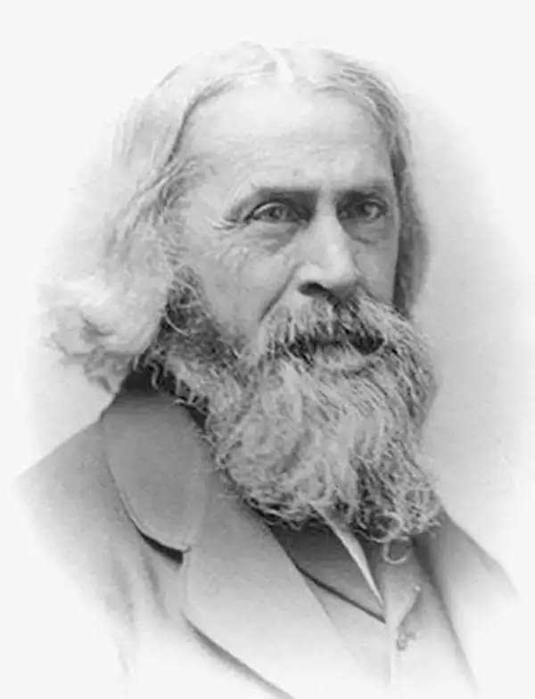
Benjamin Peirce (April 4, 1809 - October 6, 1880) was a mathematician who taught at Harvard University for nearly 50 years. He served as director of the U.S. Coast Survey from 1867 to 1874. He made contributions to the fields of celestial mechanics, statistics, number theory, algebra, and the philosophy of mathematics. He was appointed professor of mathematics at Harvard in 1831, only two years after his graduation.
The entire San Francisco Peninsula.
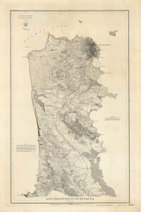
San Francisco Peninsula. U.S. Coast Survey. Benjamin Peirce, Superintendent. 1869. Price $1.50. Verified J.E. Hilgard. Assist Coast Survey. In Charge of Office.
sold
- Digital Map Information
- Suitable for large format printing
- File Size: 31.9 MB
- File Type: ZIP / TIFF
- ICC color profile embedded
- Delivered instantly via download link
A striking heavy stock example of the 1869 U.S. Coast Survey map of the San Francisco Peninsula. This is one of the first maps to focus on the entire peninsula and among the earliest Coast Survey charts to utilize contours to illustrate elevation. (more details)
Entire San Francisco Peninsula.
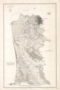
San Francisco Peninsula. U.S. Coast Survey. Benjamin Peirce, Superintendent. 1869. Price $1.50. Verified J.E. Hilgard. Assist Coast Survey. In Charge of Office.
sold
- Digital Map Information
- Suitable for large format printing
- Full resolution TIFF file
- ICC color profile embedded
- Delivered instantly via download link
A striking heavy stock example of the 1869 U.S. Coast Survey map of the San Francisco Peninsula. This is one of the first maps to focus on the entire peninsula and among the earliest Coast Survey charts to utilize contours to illustrate elevation. (more details)
Charting the waters of Mid-Coast Maine.
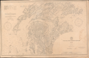
Fox Islands Thoroughfare Maine.
sold
- Digital Map Information
- Suitable for large format printing
- File Size: 864.22 MB
- File Type: ZIP / TIFF
- ICC color profile embedded
- Delivered instantly via download link
An 1886 nautical chart or map of the Fox Islands Thoroughfare between Vinalhaven and North Haven, Knox County, Maine, produced by the U.S. Coast Survey. In addition to providing a helpful guide for navigators, it demonstrates the increasing standardization and complexity of nautical charts in the second half of the 19th century. (more details)