
Pope, John (sold)
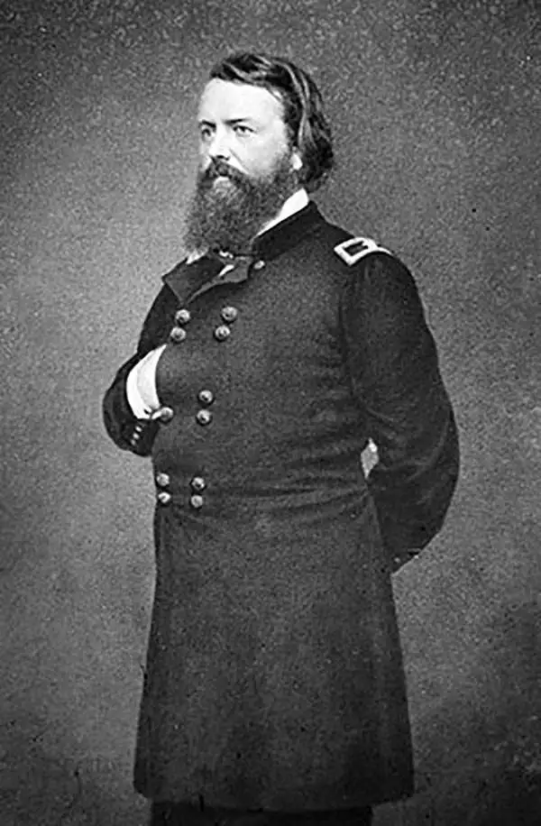
John Pope (March 16, 1822 - September 23, 1892) was an American military officer active in the middle part of the 19th century. Pope was born in Louisville Kentucky to a prominent family with close ties to future president Abraham Lincoln. He graded from West Point in 1842 and served in the Mexican American War before being appointed to the Army Bureau of Topographical Engineers. He served briefly under explorer John C. Fremont, but the two never really got along. During the American Civil War, Pope, now a Major General successfully led several campaigns in the Western Theater, including the strategic capture of the fortified Mississippi River Island No. 10, near New Madrid, Missouri. He was subsequently reassigned to the Eastern Front where he was less successful ultimately suffering a disastrous defeat in the Second Battle of Bull Run. Following the Civil War, Pope served briefly as Reconstruction Governor of the Third Military District (Georgia, Florida, and Alabama) and was eventually sent west for the Apache Wars. Despite having a brash argumentative manner, he argued for humane treatment of Native Americans and campaigned against the activities of the corrupt Indian Bureau. Pope retired in 1886 and died at the Ohio Soldiers Home in Sandusky, Ohio.
Important government survey conduced by the order of Jefferson Davis to ascertain the Southern Route of the Pacific Railroad.
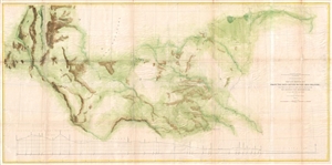
Map and Profile No. 2. From the Red River to the Rio Grande; from Explorations and Surveys made under the direction of the Hon. Jefferson Davis, Secretary of War by Captain John Pope, Corps Topl. Engrs.
sold
- Digital Map Information
- Suitable for large format printing
- File Size: 21.43 MB
- File Type: ZIP / TIFF
- ICC color profile embedded
- Delivered instantly via download link
A large and interesting 1861 government map illustrating surveys performed by John Pope to ascertain the most efficient route for the Southern Pacific Railroad. As the title suggests, the map covers in some detail the lands between the Red River and the Rio ... (more details)
Important early Civil War Map illustrating the first major Union victory on the Mississippi River at New Madrid or the Kentucky Bend.
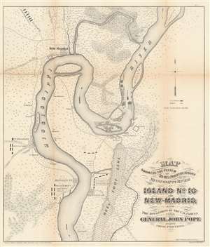
Map showing the system of rebel fortifications on the Mississippi River at Island No. 10 and New Madrid, also the operations of the U.S. forces under General John Pope against these positions.
sold
- Digital Map Information
- Suitable for large format printing
- File Size: 20.91 MB
- File Type: ZIP / TIFF
- ICC color profile embedded
- Delivered instantly via download link
A scarce and important 1862 Civil War map illustrating the course of the Mississippi River in the vicinity of New Madrid, Point Pleasant, Riddles Point, and Tiptonville. This region, collectively known as the Kentucky Bend, is situated at the meeting point of Missouri, Kentucky, and Tennessee. The map was prepared by Major General John Pope, a Union Commander, to illustrate his decisive siege and take over the strategically situated and heavily fortified Island No. 10. Located just upriver from New Madrid, Island No. 10 is situated at a sharp northward curve in the Mississippi. The Confederate Army fortified the island realizing that, if they could control Island No. 10, they could effectively prevent Union forces from using the Mississippi as gateway to the Deep South. (more details)
Important early Civil War Map illustrating the first major Union victory on the Mississippi River at New Madrid or the Kentucky Bend.
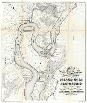
Map showing the system of rebel fortifications on the Mississippi River at Island No. 10 and New Madrid, also the operations of the U.S. forces under General John Pope against these positions.
sold
- Digital Map Information
- Suitable for large format printing
- File Size: 11.68 MB
- File Type: ZIP / TIFF
- ICC color profile embedded
- Delivered instantly via download link
A scarce and important 1862 Civil War map illustrating the course of the Mississippi River in the vicinity of New Madrid, Point Pleasant, Riddles Point, and Tiptonville. This region, collectively known as the Kentucky Bend, is situated at the meeting point ... (more details)