
von Sandrart, Jacob (sold)
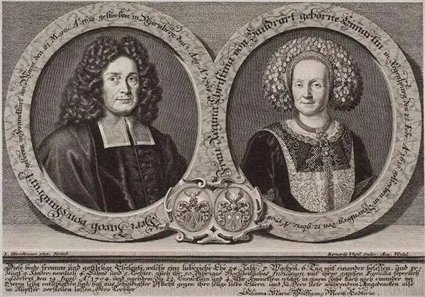
Jacob von Sandrart (1630 - 1708) was a German publisher and artist active in Nuremburg in the late 17h century. Sandrart was born in Frankfurt-on-Main but relocated to the publishing center of Nuremberg to study painting under his uncle Joachim von Sandrart and engraving under notated cartographer Cornelius Danckerts. By 1656 he was one of the most responded portraitists and art dealers active in Nuremberg. Sandrart did not produce any known atlases, but he did publish a number of maps, most of which focused on Central Europe.
One of two earliest known maps engraved by Homann - long before he opened his own firm.
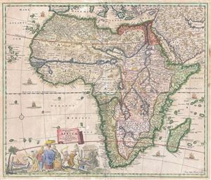
Accuratissima Totius Africae Tabula in Lucem producta per Iacobum de Sandrart Norimbergae.
sold
- Digital Map Information
- Suitable for large format printing
- DPI: 300
- File Size: 17.14 MB
- File Type: ZIP / TIFF
- ICC color profile embedded
- Delivered instantly via download link
An uncommon map, this is Jacob Sandrart's 1697 map of Africa. The map covers the continent in full as well as the adjacent parts of Araba, Europe, and the Cape Verde and Canary Islands. The Prime Meridian runs through Ferro Island. Cartographically Sandrart ... (more details)
A richly detailed debut work by one of the most prolific German mapmakers of the early 18th Century.
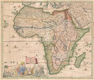
Accuratissima Totius Africae Tabula in Lucem producta per Iacobum de Sandrart Norimbergae.
sold
- Digital Map Information
- Suitable for large format printing
- Full resolution TIFF file
- ICC color profile embedded
- Delivered instantly via download link
This is Jacob Sandrart's scarce, separately published 1697 map of Africa. While cartographically derived from the influential 1670 Totius Africae Accuratissima Tabula by Frederic de Wit, this map is notable for being the first or second signed engraving by Johann Baptist Homann, who would become one of the most important German map publishers of the 18th century. (The other contender is Sandrart's map of the Americas, similarly derived from the work of De Wit.) These maps' production in 1697 just preceded the opening of Homann's own shop, in 1702. (more details)
First map of Homann - premier German cartographer of the 18th century.
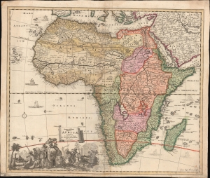
Accuratissima Totius Africae Tabula in Lucem producta per Iacobum de Sandrart Norimbergae.
sold
- Digital Map Information
- Suitable for large format printing
- DPI: 600
- File Size: 31.93 MB
- File Type: ZIP / TIFF
- ICC color profile embedded
- Delivered instantly via download link
This is Jacob Sandrart's scarce, separately published 1697 map of Africa. While cartographically derived from Frederic de Wit's influential 1670 Totius Africae Accuratissima Tabula, this map is notable for being the first or second signed engraving by Johann Baptist Homann, the most important German map publisher of the 18th-century. This map's production in 1697 just preceded the opening of Homann's Nuremberg publishing house in 1702. (more details)