
Schneider, Erwin Hermann Manfred (sold)
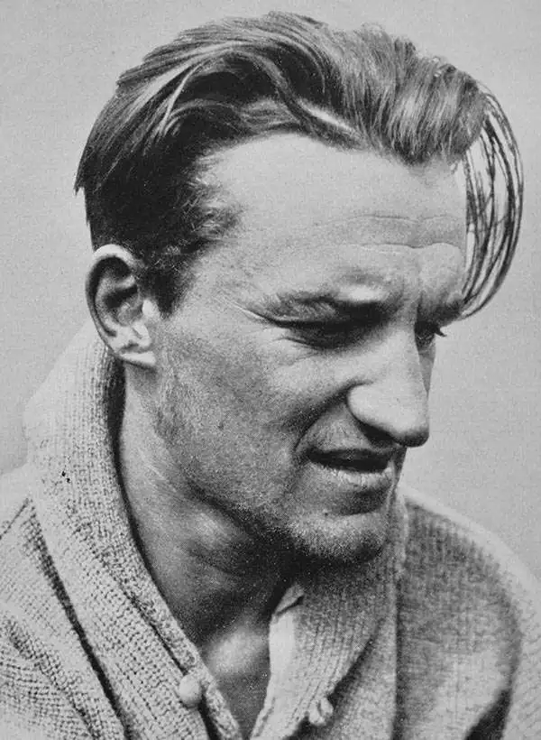
Erwin Hermann Manfred Schneider (April 13, 1906 - August 18, 1987) was an Austrian cartographer and mountaineer active in the middle part of the 20th century. Schneider was born in Jáchymov, a Bohemian mining town on the German-Czech border. He initially studied in Idira (Idrija), Slovenia before moving on to higher studies in Salzburg. He enrolled in the Technical University of Charlottenburg in Berlin, Germany, from 1924 - 1935, where he studied mining. Schneider was a very active professional mountain climber, ascending some 5 of the 11 seven-thousand meter peaks, earning him the nickname, 'Seven-Thousand King.' He was a member of the Association for Comparative High Mountain Research (Arbeitsgemeinschaft für vergleichende Hochgebirgsforschung) and official cartographer of the German Alpine Association (Deutscher Alpenverein). Schneider was the lead cartographer on the important Norman G. Dyrhenfurth Himalaya Expedition of 1955 which produced the first and most important modern survey of the Nepalese approaches to Mount Everest, published in 1957. His corpus also includes a series of important mountaineering maps of Nepal that are generally known as the 'Schneider Maps'.
The first modern map of Mount Everest.
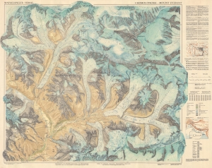
This is the first and most important modern map of Mount Everest. This extraordinary map was published in 1957 by the Deutscher Alpenverein (German Alpine Club) and Österreichischer Alpenverein (Austrian Alpine Club) based upon photogrammetric survey work conducted by Erwin Schneider during the 1955 Norman G. Dyrhenfurth Himalaya Expedition. (more details)
First modern map of Mount Everest.
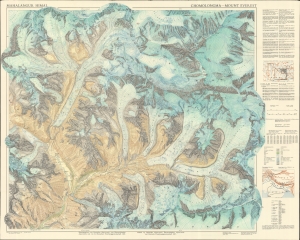
This is the first and most important modern map of Mount Everest. This extraordinary map was published in 1957 by the Deutscher Alpenverein (German Alpine Club) and Österreichischer Alpenverein (Austrian Alpine Club) based upon photogrammetric survey work conducted by Erwin Schneider during the 1955 Norman G. Dyrhenfurth Himalaya Expedition. (more details)
Bilingual German and English map of the region around Mount Everest.
This is the first and most important modern map of the Mount Everest region. This extraordinary map was published in 1957 by the Deutscher Alpenverein (German Alpine Club) and Österreichischer Alpenverein (Austrian Alpine Club) based upon photogrammetric survey work conducted by Erwin Schneider during the 1955 Norman G. Dyrhenfurth Himalaya Expedition. The six-color chromolithograph map depicts the Khumbu, or the south (Nepalese) approach Mount Everest, which appears in the upper right, covering from Tsolatse to Baruntse and from Lingtren to Ama Dablam. The detail throughout, down to stone walls and tiny paths, is an extraordinary representation of the Khumbu's complex terrain. Topography is represented by contours at 20-meter intervals with every 100 meters emphasized. (more details)
Bilingual German and English map of the region around Mount Everest.
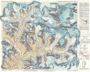
This is the first and most important modern map of the Mount Everest region. This extraordinary map was published in 1957 by the Deutscher Alpenverein (German Alpine Club) and Österreichischer Alpenverein (Austrian Alpine Club) based upon photogrammetric survey work conducted by Erwin Schneider during the 1955 Norman G. Dyrhenfurth Himalaya Expedition. The six-color chromolithograph map depicts the Khumbu, or the south (Nepalese) approach Mount Everest, which appears in the upper right, covering from Tsolatse to Baruntse and from Lingtren to Ama Dablam. The detail throughout, down to stone walls and tiny paths, is an extraordinary representation of the Khumbu's complex terrain. Topography is represented by contours at 20-meter intervals with every 100 meters emphasized. (more details)
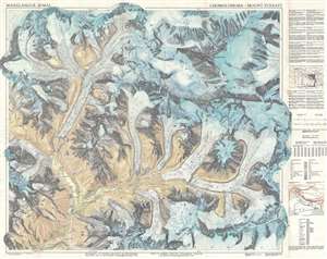
A first edition trekking and topographic map of Mount Everest.
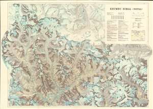
This is a first edition 1965 'Research Scheme Nepal Himalaya' (Forschungsunternehmen Nepal Himalaya) and Erwin Schneider map of Mount Everest and vicinity. As the finest map then available of the Nepalese Everest approaches, this map would have been an essential tool in planning any ascent of the mountain and may have been issued for the 1965 21-man Third Indian Everest Expedition. The map depicts the region from Menlung La to Kangdoshung Glacier and from Palung Glacier to Iswa Glacier and Iswa La. Mountain peaks and glaciers are identified throughout. Dashed lines, twisting and turning their way through valleys and along glaciers, mark paths. Villages and towns are labeled as well, including the celebrated Namche Bazar, known worldwide as a stop on the trek to Mount Everest. Open crevasses and ice walls appear as well, and contour lines present the region's intense topography. Cartographically it is derived from the 1950s mapmaking work of Erwin Schneider and Fritz Ebster, here updated with new information from subsequent expeditions, including the First and Second Indian Everest Expeditions. (more details)