
Sibert, William Luther (sold)
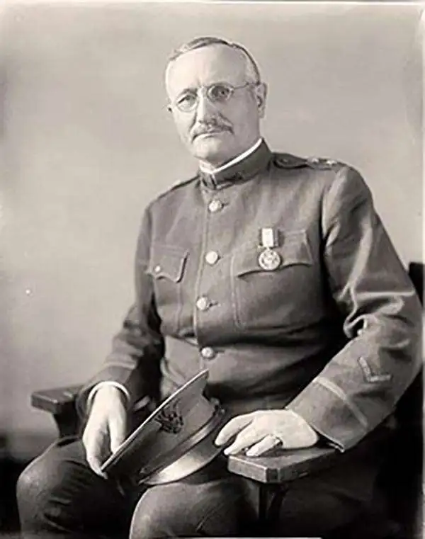
William Luther Sibert (October 12, 1860 – October 16, 1935) was a American army officer active in several foreign wars. Sibert was born in Gadsden, Alabama, and attended the University of Alabama before entering the United States Military Academy at West Point. Upon graduating he was commissioned into the Army Engineering Corps. During the Philippine-American War (1899-1902) he was appointed Chief Engineer of the 8th Army Engineering Corps, during which he oversaw the compilation of several important maps. During World War I, he was deployed with the first four regiments of the American Expeditionary Force in France. In June of 1918, Sibert was assigned to the War Department's newly created Chemical Warfare Service, which he led until 1920. Following the war Sibert retired from active duty and moved to Bowling Green, Kentucky. As a civilian he engaged in numerous improvement projects in Alabama and on the Hoover Dam. General Sibert is buried at Arlington National Cemetery. He was elected to the University of Alabama Engineering Hall of Fame oi 1961.
One of the most detailed maps of Central Luzon issued during the Philippine-American War.
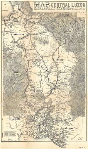
Map of Central Luzon showing a portion of the Field of Operations of the 8th Army Corps.
sold
- Digital Map Information
- Suitable for large format printing
- File Size: 13.46 MB
- File Type: ZIP / TIFF
- ICC color profile embedded
- Delivered instantly via download link
This is an extremely rare map of central Luzon, the Philippines, issued at the height of the Philippine-American War (1899 – 1902) by William L. Sibert of the 8th Army Engineering Corps and the Military Governor in the Philippines, Major General Elwell Stephen Otis. Drawn on a scale of 1 : 240000, this map is one the most detailed cartographic productions to emerge from the Philippine-American War. The map covers central Luzon, specifically the lands including and just north of Manila and Manila Bay to Lingayen Gulf. During the early stages of the Philippine-American War, this area was largely controlled by Philippine forces and was the most active theater. Three different 'lines of operations' are illustrated, marking the advance of three different columns of troops under the command of Major General Henry Ware Lawton, Major General Arthur MacArthur Jr., and Brigadier General Loyd Wheaton. Numerous cities, towns, and villages are labeled throughout along with rivers and lakes. Roads and telegraph lines are also illustrated. Topography is shown by hachure. (more details)
One of the most detailed maps of Central Luzon issued during the Philippine-American War.
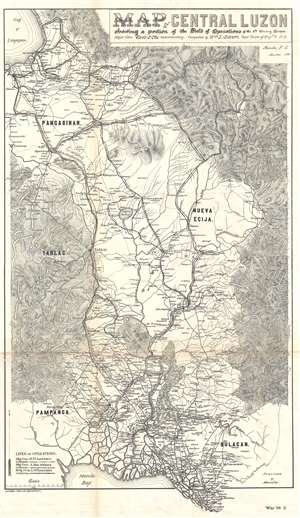
Map of Central Luzon showing a portion of the Field of Operations of the 8th Army Corps.
sold
- Digital Map Information
- Suitable for large format printing
- File Size: 12.63 MB
- File Type: ZIP / TIFF
- ICC color profile embedded
- Delivered instantly via download link
This is an extremely rare map of central Luzon, the Philippines, issued at the height of the Philippine-American War (1899 – 1902) by William L. Sibert of the 8th Army Engineering Corps and the Military Governor in the Philippines, Major General Elwell Stephen Otis. Drawn on a scale of 1 : 240000, this map is one the most detailed cartographic productions to emerge from the Philippine-American War. The map covers central Luzon, specifically the lands including and just north of Manila and Manila Bay to Lingayen Gulf. During the early stages of the Philippine-American War, this area was largely controlled by Philippine forces and was the most active theater. Three different 'lines of operations' are illustrated, marking the advance of three different columns of troops under the command of Major General Henry Ware Lawton, Major General Arthur MacArthur Jr., and Brigadier General Loyd Wheaton. Numerous cities, towns, and villages are labeled throughout along with rivers and lakes. Roads and telegraph lines are also illustrated. Topography is shown by hachure. (more details)