
Vierge, Daniel (sold)
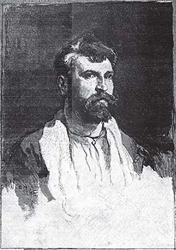
Daniel Vierge (March 5 1851 - May 10, 1904) was a Spanish illustrator, draftsman, and watercolorist active in Paris from 1870 to about 1890. Vierge was born Daniel Ortiz y Urrabieta Vierge, son of Spaish draftsman Urrabieta Vicente Ortiz in Madrid, Spain. He studied illustration at the Madrid school of fine arts before moving to Paris. In 1870 he was invited by Charles Yriarte to work of Le Monde Illustrated, a popular French periodicals. He also produced numerous book illustrations, among them, the illustrations for Victor Hugo's L'Annee terrible.
Spectacular view of the World with pictorial illustration.
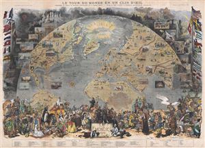
Le Tour de Monde en un Clin d'Oeil.
sold
- Digital Map Information
- Suitable for large format printing
- File Size: 57.23 MB
- File Type: ZIP / TIFF
- ICC color profile embedded
- Delivered instantly via download link
A spectacular 1876 pictorial diorama presenting a 'tour of the world in the blink of an eye.' The map is projected as a view from space and details the world roughly from the Equator to the North Pole and from California to India. Flora, fauna, historic events, ... (more details)
An extremely rare French pictorial map of the world published in the United States to celebrate the Centennial.
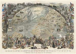
A Bird's-Eye View of the World, for the Centennial.
sold
- Digital Map Information
- Suitable for large format printing
- File Size: 92.08 MB
- File Type: ZIP / TIFF
- ICC color profile embedded
- Delivered instantly via download link
This is an 1876 Scott and Vierge pictorial map of the world. Projected as a view from space, the map depicts the world roughly from the Equator to the North Pole and from California to India. The idea is to, essentially, illustrate the late 19th century work in a single 'blink-of-the-eye' glance that encompasses geography, cultural diversity, scientific achievement, and various archeological 'wonders.' Pictorial vignettes dot the globe and highlight covered wagons and the Union Pacific Railroad in the U.S., Mayan and Aztec ruins in Mexico, the Pyramids of Giza in Egypt, and the Winged Bull of Nineveh in Iran. Transatlantic trade lines between New York and France are marked and the nations of the world are labeled and marked by their respective flags. The routes of Arctic explorers are noted as well, with a large notation of 'Mer Libre?' just above Greenland, which likely refers to the continued hope of finding a Northwest Passage. Views are included all around the world and highlight natural wonders (Niagara Falls, avalanches), fauna (bison), and people (American Indians, Touaregs). Seventy-nine illustrations of people from all over the world in their traditional dress are situated along the bottom border. (more details)