
Whitman, Edmund Burke (sold)
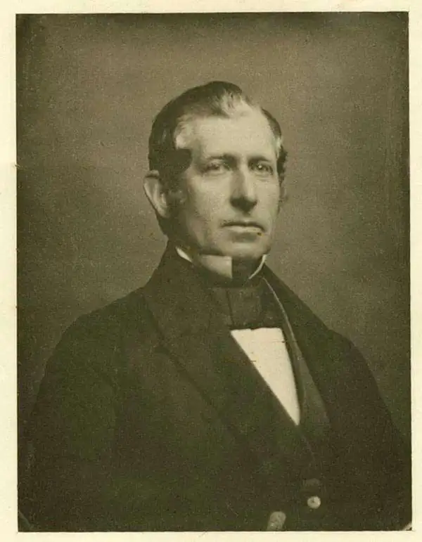
Edmund Burke Whitman (October 18, 1812 - September 2, 1883) was an American military officer, real estate speculator, and quartermaster active in the middle part of the 19th century. Whitman was bornin East Bridgewater, Massachusetts. He attended Phillips Exeter Academy followed by Harvard, from which he graduated in 1838. In 1855 he emigrated to Lawrence, Kansas with his family, who were ardent abolitionists and actively fought against pro-Slavery interests during the 'Bloody Kansas' period. In 1856, he partnered with fellow Lawrence pioneer Albert D. Searle (1831 - 1902) to establish a land agent and emigrant firm to encourage anti-slavery settlers to settle in Kansas. In conjunction with this effort he published an important 1856 map of Eastern Kansas. During the American Civil War (1861 - 1865), he served as a quartermaster with the Union Army and after the war as the Superintendent of National Cemeteries where he worked with more the United States Colored Troops (USCT) to recover the remains of more than 100,000 fallen Union casualties from the southern theaters.
Bleeding Kansas map issued just one month after the Sack of Lawrence.
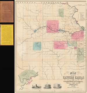
Map of Eastern Kansas.
sold
- Digital Map Information
- Suitable for large format printing
- File Size: 24.02 MB
- File Type: ZIP / TIFF
- ICC color profile embedded
- Delivered instantly via download link
An iconic and historically important map of Eastern Kansas during the 'Free Soil' and 'Bleeding Kansas' or 'Bloody Kansas' era, published just one month after the Sacking of Lawrence. This rare and important 1856 map by the prominent abolitionists Albert D. Searle, Edmund Burke Whitman, and John Punchard Jewett covers the eastern part of Kansas from the 6th Principal Meridian or 97° 22' 08'' W to the Missouri Border and the Missouri River, and from Nebraska to, roughly, the modern day northern border of Oklahoma. The map is intended to promote 'free state' emigration to Kansas as counterbalance to a similar effort by 'slave states' to move their own settlers into the territory. Zones highlighted with color reference American Indian lands - suggesting that emigrants avoid these territories and settle away from 'Indian troubles.' In the lower left there is an inset of Fort Riley on the Missouri River, identified as the 'Geographical Center of U. S. Possessions.' At the base are vignette illustrations of Constitution Hall in Topeka, and before and after images of Eldridge House, also known as the 'Free State Hotel,' which was burned to the ground by pro-slavery vigilantes. (more details)