
Williams, Wellington (sold)

Wellington Williams (1814 - July 8, 1875) was an American engraver based in Germantown, Philadelphia. Williams was born in Bath, England. He emigrated to England as a young man, establishing himself in Philadelphia as a map and line engraver. He most notably engraved the maps for both Samuel Augustus Mitchell and his son, Samuel Augustus Mitchell Jr. There is some evidence that Williams resented the relationship and derived little profit from the success of two Mitchell atlases. He also engraved for William C. Woodbrid and D. Appleton. In addition, Williams also published several maps and views under his own imprint. His home was located at 1857 Mervine Street, 20th Ward, Philadelphia. His offices were located in Philadelphia, on 5th Street, below Chestnut. He was interred at the Laurel Hill Cemetery, Philadelphia.
Traces the route of the Second Grinnell Expedition led by Dr. Elisha Kent Kane with the goal of locating the lost Franklin Expedition.
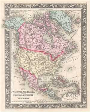
Map of North America. Showing its Political Division, and Recent Discoveries in the Polar Regions.
sold
- Digital Map Information
- Suitable for large format printing
- File Size: 5.35 MB
- File Type: ZIP / TIFF
- ICC color profile embedded
- Delivered instantly via download link
This is an 1861 Samuel Augustus Mitchell, Jr. map of North America. The map depicts the continent from the Pacific Ocean to the Atlantic Ocean and from the Arctic Ocean to Colombia and Venezuela in South America. Franklin's Lost Expedition and American Efforts to ... (more details)
Depicts the ephemeral Confederate Arizona Territory and is one of the first maps to illustrate Colorado.
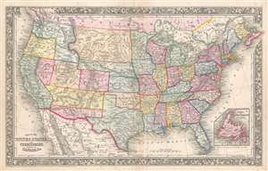
Map of the United States and Territories. Together with Canada etc.
sold
- Digital Map Information
- Suitable for large format printing
- Full resolution TIFF file
- ICC color profile embedded
- Delivered instantly via download link
This is a Samuel Augustus Mitchell, Jr. map of the United States during the first year of the American Civil War which illustrates the ephemeral Confederate Arizona Territory and is one of the first maps to include the newly-formed Colorado Territory and Dakota ... (more details)
Shaping the West during the Civil War.
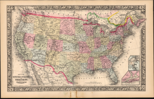
Map of the United States and Territories. Together with Canada etc.
sold
- Digital Map Information
- Suitable for large format printing
- File Size: 24.34 MB
- File Type: ZIP / TIFF
- ICC color profile embedded
- Delivered instantly via download link
This is a Samuel Augustus Mitchell, Jr. map of the United States. While dated 1860, this map was published in 1864, at the height of the American Civil War (1861 - 1865). Over the intervening years, the map was extensively updated to reflect the changing balance of power in the United States as the war inevitably favored the Union, with visible effects on the political organization of the west. (more details)