
Yoshida Hatsu Saburo (sold)
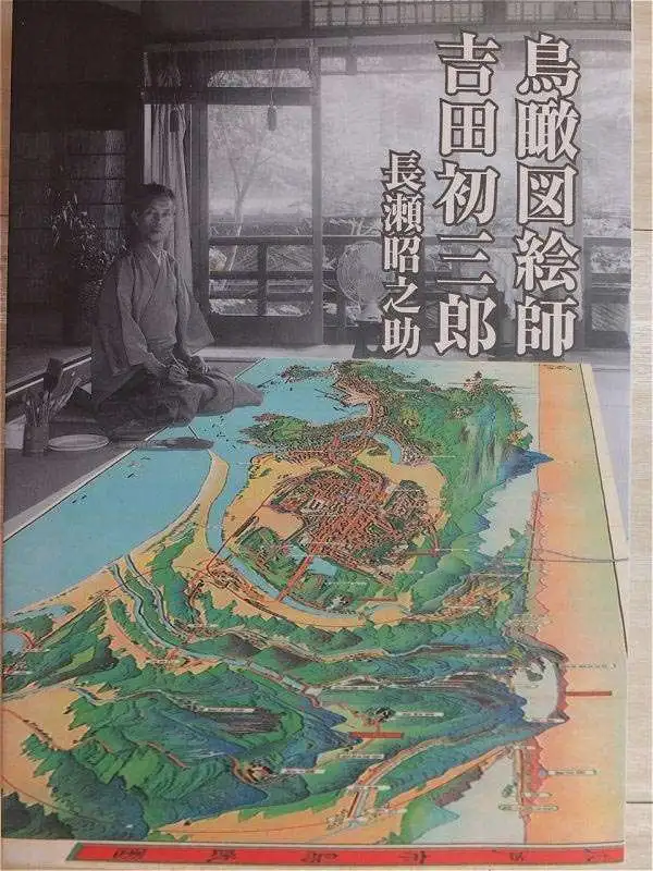
Yoshida Hatsusaburō (吉田初三郎, March 4, 1884 - August 16, 1955) was a Japanese illustrator and painter of birds-eye views active during the Taisho and Showa periods. Yoshida was born in Kyoto and apprenticed under Takeshiro Kanokgoi (1874 - 1941). Yoshida is significant for pioneering the use parallel perspective birds-eye views to illustrate Japanese bus and railroad transit networks. His first birds-eye view, completed in 1914, illustrated the Keihan railway and was highly praised by no less than Hirohito, then a prince but soon to be the Shōwa Emperor. With the Emperor's approval, Yoshida's views became widely popular and were adopted by the Ministry of Railways for the illustration all of its major public transportation networks. His style was so fashionable and distinctive that an entire genre was named after him (初三郎式絵図), and his works helped to spur a domestic tourism boom in the 1920s – 1930s. Most of his work consisted of city and regional views, though larger views encompassing the entirety of Japan do exist. Yoshida's most significant piece is most likely his rendering of the Hiroshima bombing, which was published in an English language magazine in 1949. He took on Tsunemitsu Kaneko as an assistant and apprentice in the early 1930s. Eventually Kaneko started making parallel perspective views of his own and became Yoshida's primary rival. Although he made over 3,000 maps in his lifetime, Yoshida was known to dedicate months to research and preparation for particular maps. For his 1949 Hiroshima map and his striking depiction of the Great Kanto Earthquake of 1923, he adopted a journalistic approach and spoke to many survivors of the disasters.
The Earthquake that Transformed Tokyo.
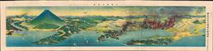
關東震災全地域鳥瞰圖繪 / [Bird's-eye View of the Entire Area of the Kanto Earthquake Disaster].
sold
- Digital Map Information
- Suitable for large format printing
- Full resolution TIFF file
- ICC color profile embedded
- Delivered instantly via download link
This is a rare, poignant bird's-eye view of Tokyo in the aftermath of the 1923 Great Kanto Earthquake by master painter-cartographer Yoshida Hatsusaburō. Coverage includes Tokyo, Yokohama, Mt. Fuji, and surrounding areas. This view was printed and distributed in 1924 (Taisho 13), just after the one-year anniversary of the disaster by the Osaka Mainichi Shimbun and is a fascinating record of both commemoration and reconstruction. (more details)
The Earthquake that Transformed Tokyo.
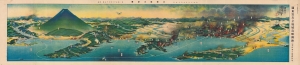
關東震災全地域鳥瞰圖繪 / [Bird's-eye View of the Entire Area of the Kanto Earthquake Disaster].
sold
- Digital Map Information
- Suitable for large format printing
- Full resolution TIFF file
- ICC color profile embedded
- Delivered instantly via download link
This is a rare, poignant bird's-eye view of Tokyo in the aftermath of the 1923 Great Kanto Earthquake by master painter-cartographer Yoshida Hatsusaburō. Coverage includes Tokyo, Yokohama, Mt. Fuji, and surrounding areas. This view was printed and distributed in 1924 (Taisho 13), just after the one-year anniversary of the disaster by the Osaka Mainichi Shimbun and is a fascinating record of both commemoration and reconstruction. (more details)
A scenic view from the heart of Japan.
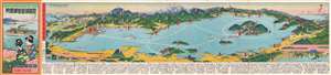
琵琶湖遊覽御案内 / [Lake Biwa Round Trip].
sold
- Digital Map Information
- Suitable for large format printing
- Full resolution TIFF file
- ICC color profile embedded
- Delivered instantly via download link
This is a scarce and beautiful 1926 bird's-eye view of Lake Biwa by Yoshida Hatsusaburō, the greatest master of his day in the genre. More specifically, it belongs to the category of sketchbook mailers (書簡圖繪), brochure-like folding views of famous sites in Japan that were very popular in the 1920s–1940s. (more details)
Standout work by Japan's paramount view artist.
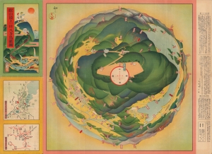
叡山頂上一目八方鳥瞰圖 / [Multi-Directional Bird's-Eye View from the Peak of Mt. Hiei].
sold
- Digital Map Information
- Suitable for large format printing
- File Size: 18.52 MB
- File Type: ZIP / TIFF
- ICC color profile embedded
- Delivered instantly via download link
An unusual c. 1926 view depicting a 360-degree perspective from the peak of Mt. Hiei, near Kyoto, Japan. It was produced by Yoshida Hatsusaburō, a master of the bird's-eye view, though it differs significantly from most of Yoshida's other works. (more details)
A gorgeous view of the Japanese home islands.
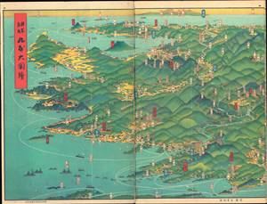
日本鳥瞰 大日本パノラマ大圖繪張 / [Bird's Eye View of Japan - Japan Panorama Foldout Map].
sold
- Digital Map Information
- Suitable for large format printing
- Full resolution TIFF file
- ICC color profile embedded
- Delivered instantly via download link
This is a beautiful 1927 panoramic view of Japan drawn by Yoshida Hatsusaburō and published by the Osaka Mainichi Shimbun. The view is published in atlas format, with pages printed on both sides. It is divided into three sections, each consisting of six pages, covering the entirety of Kyūshū, Honshū, and Shikoku. (more details)
Four rare panoramas of Kyoto by famed illustrator Hiroshi Yoshida.
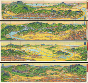
A rare set of four maps of Kyoto dating to Showa 3 or 1928. Drawn by the famous Japanese illustrator and print maker Hiroshi Yoshida these maps are representative of a style of map that developed in Japan in the early 19th century. Essential transport and rail ... (more details)
Korea by Japan's Master Viewmaker.
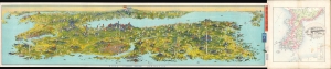
朝鮮大圖繪 / [Large Drawn Map of Korea].
sold
- Digital Map Information
- Suitable for large format printing
- Full resolution TIFF file
- ICC color profile embedded
- Delivered instantly via download link
This large and visually stunning view of the Korean Peninsula was drawn by Yoshida Hatsusaburo and published by the Wonsan Daily News (元山毎日新聞社). It was produced to coincide with the Chōsen Exhibition, a celebration of the 'benefits' Japanese rule had brought to Korea. The view is also significant because it is among the earliest published views by Yoshida of areas outside the Japanese home islands, a focus that would become more pronounced in his work in the following years as Japan's empire expanded. (more details)