
Asher and Adams (sold)

Asher and Adams (fl. c. 1860 - c. 1900) were New York based cartographers active in the latter part of the 19th century. Active in the 1860s and 70s, the New York firm of Asher & Adams produced some of the most detailed and colorful late 19th century American Atlases. Asher & Adams are known for their remarkable state and county atlases which are so detailed that they include individual family homes and names. The Asher & Adams firm followed the quality and style formats pioneered by the earlier Colton and Johnson firms - notable for their distinctive pastel color washes and impressive size. Their most important work is their 1874 Asher & Adams Commercial and Statistical Gazetteer of the United States which is one of the first 19th century atlases to remove topographical information to make room for detailed depictions of railroads.
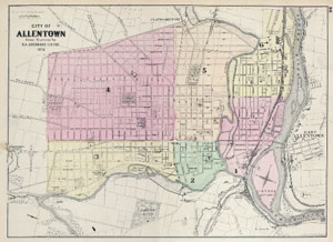
City of Allentown.
sold
- Digital Map Information
- Suitable for large format printing
- File Size: 4.46 MB
- File Type: ZIP / TIFF
- ICC color profile embedded
- Delivered instantly via download link
This is a fascinating 1872 map of the city of Allentown, Pennsylvania. Depicts the whole of the town at the street level and in considerable detail. Individual buildings, parks, and train lines are specifically noted. Allentown, made famous by Billy Joel's ... (more details)
Illustrates the still-to-be-completed Jacksonville, Pensacola, and Mobile Railroad.
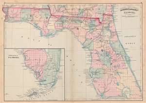
Asher and Adams' Florida.
sold
- Digital Map Information
- Suitable for large format printing
- File Size: 19.59 MB
- File Type: ZIP / TIFF
- ICC color profile embedded
- Delivered instantly via download link
This is an 1872 Asher and Adams map of Florida. The map depicts the state from the Perdido River to the Atlantic Ocean and from Georgia and Alabama to Lake Okeechobee and Charlotte Harbor. An inset map situated in the Gulf of Mexico illustrates southern ... (more details)
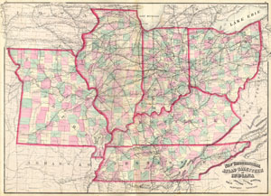
New Topographical Atlas and Gazetteer of Indiana, Ohio, Indiana, Illinois, Missouri, Kentucky, Tennessee.
sold
- Digital Map Information
- Suitable for large format printing
- File Size: 2.35 MB
- File Type: ZIP / TIFF
- ICC color profile embedded
- Delivered instantly via download link
This is an 1874 Asher & Adams hand colored map of the Midwest and Central states of Ohio, Indiana, Illinois, Missouri, Kentucky and ... (more details)
Combines work of land surveyors and the U.S. Coast Survey.
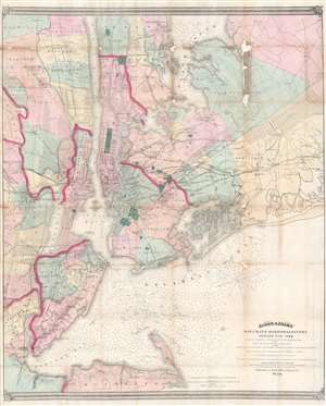
Asher and Adams' Map of the Bays, Harbors and Rivers Around New York: Showing the Channels, Soundings, Lighthouses, Buoys etc. and the Complete Topography of the Surrounding Country: including Hempstead, Sandy-Hook, South-Amboy, Newark, Yonkers, N. Rochelle and Glenn Cove.
sold
- Digital Map Information
- Suitable for large format printing
- Full resolution TIFF file
- ICC color profile embedded
- Delivered instantly via download link
This is a visually striking and rare 1874 Matthew Drips and Asher and Adams map of the greater New York City area. Innovatively combining detailed land surveys with the work of the U.S. Coast Survey, the map depicts the New York City area from Sandy Hook and Monmouth County, north to include Staten Island, Newark, Manhattan and Yonkers. Coverage extends eastward into Long Island as far as Hicksville, Jericho and Freeport. All of Brooklyn, Jamaica Bay, and Queens are illustrated, along with parts of Westchester and much of northeastern New Jersey. The farmlands, islands, swamps, and parks of the region are also illustrated. The Croton Aqueduct appears as a thin black line in Westchester and the Bronx. Nautically, this map is heavily based upon the 1856 U.S. Coast survey of the same region compiled under the direction of A. D. Bache. It includes thousands of depth soundings and notes channels, buoys, and lighthouses where appropriate. (more details)