
Automobile Club of America (sold) (ACA)
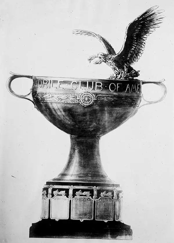
The Automobile Club of America (fl. 1899 - ??) was originally founded by 25 men on June 7, 1899 at the Waldorf-Astoria Hotel in New York City. The ACA was the "pioneering club on motoring" and was also responsible for leading the Good Roads Movement, an effort to improve dangerous road and street conditions throughout the United States. The group was driven by not only a love for the fledgling automobile industry, but a desire to see it grow and expand beyond what others imagined. The ACA felt a large and influential body was needed to ensure the success and continued growth of the automobile community. They organized and encouraged automobile exhibitions, along with motor races and other varied automobile activities. At the time motorists faced trouble and harassment by many in the community, and the ACA worked to bring about understanding and acceptance of what many saw as "just a fad." The group grew and in time published numerous road maps, books, and other articles for motorists, bicyclists and aviators.
AKA: ACA
Rare early automobile map of eastern Long Island and the Hamptons.
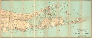
Automobile Map of Long Island, New York. East.
sold
- Digital Map Information
- Suitable for large format printing
- File Size: 13.15 MB
- File Type: ZIP / TIFF
- ICC color profile embedded
- Delivered instantly via download link
An extremely attractive early automobile pocket map of the eastern part of Long Island. Published in 1905 by George Walker and the Automobile Club of America this map covers Suffolk County from Brookhaven to Montauk, inclusive of both forks and the resort areas ... (more details)
Scarce linen map of Long Island prepared for motoring enthusiasts.
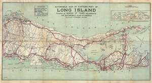
Automobile Map of Eastern Part of Long Island compiled by Bureau of Tours and published by the Automobile Club of America.
sold
- Digital Map Information
- Suitable for large format printing
- File Size: 23.04 MB
- File Type: ZIP / TIFF
- ICC color profile embedded
- Delivered instantly via download link
This is a rare linen map of Suffolk County, Long Island, New York, including the Hamptons, prepared by L. B. Mork for the Automobile Club of America. The map extends from Stony Brook and Sayville east, past Southampton, Easthampton, Bridgehampton, Greenport, and ... (more details)
Travel the Northeast and stay at great hotels.
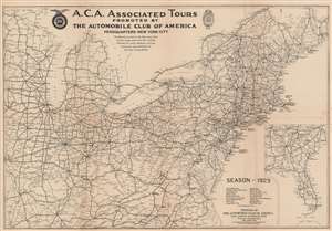
A.C.A. Associated Tours.
sold
- Digital Map Information
- Suitable for large format printing
- File Size: 36.84 MB
- File Type: ZIP / TIFF
- ICC color profile embedded
- Delivered instantly via download link
This is a 1929 Automobile Club of America road map of the northeastern United States. Depicting from Illinois to the Atlantic Ocean and from Quebec, Canada, to Raleigh, North Carolina, prominent black lines trace highways and other routes recommended by the Automobile Club of America. Potentially these routes correspond with the tours promoted by the A.C.A.. Bold labels identify major cities and offer hotel recommendations. Per the map 'The Motorist will find on this map some Three Hundred Hotels which have been carefully inspected from every standpoint and have received the recommendation of the Clubs Touring Bureau.' Numerous other highways are illustrated, with cities and towns identified throughout. An inset in the lower right depicts from Nashville and Raleigh south to Key West in much the same fashion. A list of tours promoted by the A.C.A. appears to the left of this inset. (more details)
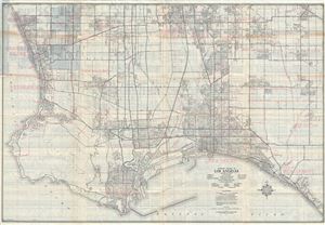
Southern Section of Los Angeles Including the Cities of Compton, Gardena, Hermosa Beach, Long Beach, Manhattan Beach, Redondo Beach, Palos Verdes Estates, Seal Beach, Signal Hill, Torrance and the communities of Artesia, Bellflower, Clearwater, Hynes, Lawndale, Lomita, Los Alamitos, Norwalk, San Pedro, Walteria, Wilmington.
sold
- Digital Map Information
- Suitable for large format printing
- Full resolution TIFF file
- ICC color profile embedded
- Delivered instantly via download link
This is a fine c.1943 map of the southern section of Los Angeles, California issued by the Automobile Club of Southern California. It covers from Forster Road in Norwalk south to Warner Avenue and Bolsa Bay and from Denni street west to the Pacific Ocean. The ... (more details)
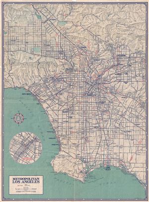
Metropolitan Los Angeles.
sold
- Digital Map Information
- Suitable for large format printing
- File Size: 24.54 MB
- File Type: ZIP / TIFF
- ICC color profile embedded
- Delivered instantly via download link
This is a fine c.1945 map of the city of Los Angeles, California issued by the Automobile Club of Southern California. It covers Metropolitan Los Angeles from San Fernando south to the Pacific Ocean and from Canoga Park east to El Monte. The map details ... (more details)
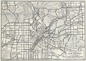
Principal Automobile Routes In and Out of Los Angeles.
sold
- Digital Map Information
- Suitable for large format printing
- File Size: 12.25 MB
- File Type: ZIP / TIFF
- ICC color profile embedded
- Delivered instantly via download link
This is a fine 1946 map of the city of Los Angeles, California issued by the Automobile Club of Southern California. The map details the various routes in and out of Los Angeles and covers from Baldwin Hills north as far as Grand Central Airport. It ... (more details)