
Berthrong, Ithamar Parsons (sold)
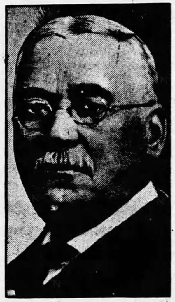
Ithamar Parsons Berthrong (February 26, 1853 - July 29, 1936) was an American surveyor, inventor, and draftsman active with the General Land Office of the U.S. Department of the Interior. Berthrong was born in Rochester, New York. He was made chief of the drafting division on March 23 of 1907. He is associated with many of the most important early 20th century maps issued by the GLO, among them, important maps of Arizona, Colorado, Wyoming, Oregon, Washington, and more.
Explorer's Routes and National Roads.
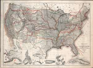
United States Showing Routes of Principal Explorers and Early Roads and Highways.
sold
- Digital Map Information
- Suitable for large format printing
- File Size: 62.87 MB
- File Type: ZIP / TIFF
- ICC color profile embedded
- Delivered instantly via download link
A most fascinating production, this is a fine example of the 1907 first edition of the Berthrong / Bond map of the United States showing exploratory routes and improved roads. The base map is a reduction of the General Land Office map of the United States issued annually from 1899 to illustrate the extending and progress of the Public Surveys. That map has here been overlayed with color-coded routes illustrating the most prominent explorations from the 1500s through the mid-19th century. In addition, it shows important roads then in being built or improved, including the National highway, Braddock Road, the Great Trail. The map was intended to demonstrate the current state of geographical knowledge and underscore the fact that - by 1907, little was left unexplored. (more details)
Explorer's Routes and National Roads.
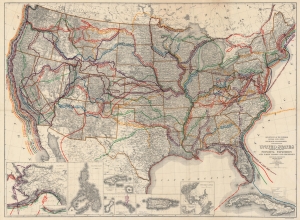
United States Showing Routes of Principal Explorers and Early Roads and Highways.
sold
- Digital Map Information
- Suitable for large format printing
- File Size: 143.92 MB
- File Type: ZIP / TIFF
- ICC color profile embedded
- Delivered instantly via download link
A most fascinating work, this is the 1908 edition of the Berthrong / Bond map of the United States, showing exploratory routes and improved roads. (more details)
Spanish-Era Land Grants in New Mexico.
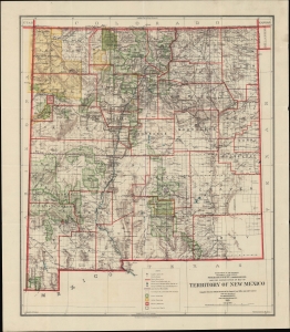
Reduced Reproduction Map of Territory of New Mexico compiled from the official Records of the General Land Office and other sources.
sold
- Digital Map Information
- Suitable for large format printing
- Full resolution TIFF file
- ICC color profile embedded
- Delivered instantly via download link
An engrossing map of the Territory of New Mexico produced three years before statehood in 1909 by I. P. Berthrong and his colleagues at the U.S. Government's General Land Office. As the title indicates, it is based on an earlier larger-format map of the territory, which was continually updated by the G.L.O. in the late 19th and early 20th century. (more details)
Arizona after statehood.
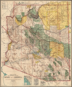
State of Arizona.
sold
- Digital Map Information
- Suitable for large format printing
- Full resolution TIFF file
- ICC color profile embedded
- Delivered instantly via download link
This is the 1912 Ithamar Berthrong and Daniel O'Hare map of Arizona - among the first official U.S. government maps Arizona as a state. (more details)
Preserving Alaska's wilderness.
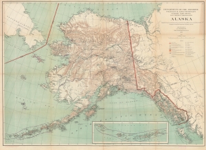
Alaska.
sold
- Digital Map Information
- Suitable for large format printing
- File Size: 83.79 MB
- File Type: ZIP / TIFF
- ICC color profile embedded
- Delivered instantly via download link
This is a 1917 I. P. Berthrong and General Land Office map of Alaska. It highlights wildlife reservations, emphasizing the U.S. government's conservation efforts. (more details)