
Bertius, Petrus (sold)
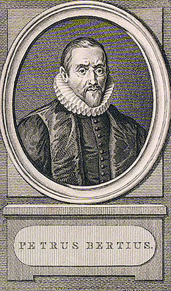
Petrus Bertius (November 14, 1565 – October 12, 1629), also known as Peter Bardt and P. Bertii, was a Flemish theologian, historian, and cartographer. Bertius was born in Beveren (Alveringem), a son of the preacher Pieter Michielszoon Bardt. The Bardt family fled to London at the outbreak of the Dutch War of Independence in 1568, fleeing both religious and political strife. When the political situation in the Netherlands stabilized in 1577, Bertius returned to study at the University of Leiden. He supported himself by tutoring until 1593 when he was appointed subregent of the Leiden Statencollege. This was probably a nepotistic post as, in the same year, he married Maritgen Kuchlinus, the daughter of Johannes Kuchlinus, then regent of the Statencollege. Bertius himself succeeded Johannes, becoming regent in 1606. Through his marriage, Bertius associated with Flemish cartographers Jodocus Hondius and Pieter van den Keere, both of whom were in-laws. Bertius first began publishing cartographic works in 1598 when, working with Barent Langenes, he published a the miniature Latin language atlas Tabulae contractae. In 1618, publishing with his brother-in-law Jodocus Hondius, he issued the atlas Theatrum Geographiae Veteris, which impressed Louis XIII of France sufficiently that he relocated to Paris to take position as court cosmographer to the King. Two years later he converted to Catholicism and took a position teaching rhetoric at the Collège de Boncourt, in Paris. In 1622, Louix XIII granted him a chart in mathematical sciences at the royal college and the honorarium of royal historian. Bertius remained in Paris until his death in 1629.
Rare separate Issue map of America with ghosted Pacific Northwest illustrating cartographic ambiguity.
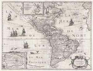
Carte de L'Amerique Corrigee et augmentee dessus toutes les autres cy devant faictes.
sold
- Digital Map Information
- Suitable for large format printing
- DPI: 300
- File Size: 11.77 MB
- File Type: ZIP / TIFF
- ICC color profile embedded
- Delivered instantly via download link
This is a rare and significant separately issued 1640 map of America by Petrus Bertius. The map covers all of North and South America, as well as Central America, the West Indies, and the surrounding areas, including adjacent parts of Spain, Portugal, and Africa. ... (more details)
Ancient and modern directional names explained.
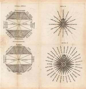
[Untitled diagrams of Compass Roses, Naming the Cardinal Directions.]
sold
- Digital Map Information
- Suitable for large format printing
- Full resolution TIFF file
- ICC color profile embedded
- Delivered instantly via download link
This is an attractively-engraved plate comparing four different conventions in naming the cardinal directions. It was printed in a 1661 Elzevir edition of Philipp Cluver's introduction to geography. Cluver's work appeared in editions by several different houses, and with maps of wildly differing characteristics. Presented here are four separate diagrams, each exemplifying a different, common convention for directional toponomy. (more details)
Attractively Engraved Map of the Northern Part of Europe.
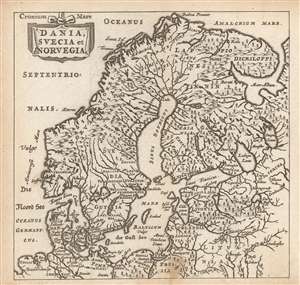
Dania, Suecia et Norvegia.
sold
- Digital Map Information
- Suitable for large format printing
- Full resolution TIFF file
- ICC color profile embedded
- Delivered instantly via download link
This is a finely-engraved miniature map of Scandinavia, printed in a 1661 Elzevir edition of Philipp Cluver's introduction to geography, appearing in editions produced by many different houses, and with maps of wildly differing characteristics. This map follows the model of Swedish mathematician and cartographer Anders Bure, whose 1624 map of Scandinavia - the first geodetically correct map of the region - provided the basis for virtually every general map of the region, including those by Goos, Hondius, and Blaeu, from whose work this one is almost certainly derived. (more details)