
Bromfield, Davenport (sold)
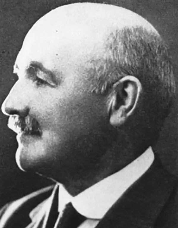
Davenport Bromfield (July 2, 1862 - August 22, 1954) was an Australian Civil Engineer active in San Mateo, California in the first half of the 20th century. Bromfield was born in Warrnambool, Victoria, Australia. He immigrated to the United States in 1870, settling in San Francisco. There he apprenticed as a Civil Engineer. He held the position of Deputy County Surveyor of San Francisco for 2 years before taking a position with the Southern Pacific Railroad. He relocated to San Mateo and was elected San Mateo County Surveyor in 1890. In that position he produced several important large-scale maps of San Mateo County and City. By 1900, he established himself in private enterprise as a Civil Engineer and Surveyor. Davenport remained in San Mateo until his death in 1954.
Uncommon map of San Mateo on verso.
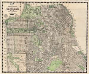
Map of City and County of San Francisco. / Map of San Mateo.
sold
- Digital Map Information
- Suitable for large format printing
- Full resolution TIFF file
- ICC color profile embedded
- Delivered instantly via download link
This is an appealing 1929 map of San Francisco and San Mateo, California, by Hermon Anton Candrian and Davenport Bromfield. Candrain published maps from the early 1900s through the 1935s. Although his maps of San Francisco are universally pleasing to the eye and well made, Candrian maps are of greater interest for their verso content, which often feature excellent maps of generally underserved parts of the Bay Area - in this case San Mateo. (more details)
Peopling the Peninsula.
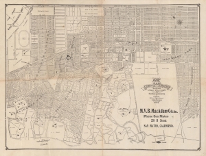
Map of the City of San Mateo showing the latest additions and subdivisions.
sold
- Digital Map Information
- Suitable for large format printing
- File Size: 12.3 MB
- File Type: ZIP / TIFF
- ICC color profile embedded
- Delivered instantly via download link
A rare 1912 map of San Mateo, California by City Engineer Davenport Bromfield. It displays the city on the heels of rapid growth (the population more than doubled between 1900 and 1910), as it and surrounding communities transitioned from farming to a suburban retreat for the elite of San Francisco. (more details)
San Francisco in the heyday of streetcars.
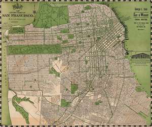
Candrian's official double indexed street number guide : with car-o-grams and maps of San Francisco, Daly City...
sold
- Digital Map Information
- Suitable for large format printing
- Full resolution TIFF file
- ICC color profile embedded
- Delivered instantly via download link
This is an appealing c. 1920 map of San Francisco, San Mateo, and other nearby communities in the Bay Area, California, by Hermon Anton Candrian and Davenport Bromfield. It illustrates San Francisco following its recovery from the devastating 1906 earthquake and fire and its gradual expansion to the south and west. (more details)
San Francisco and San Mateo: Streetcars and Fabulous Estates.
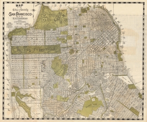
Map of the City and County of San Francisco. / Map of San Mateo and Burlingame.
sold
- Digital Map Information
- Suitable for large format printing
- Full resolution TIFF file
- ICC color profile embedded
- Delivered instantly via download link
This is an appealing c. 1932 map of San Francisco and San Mateo, California, by Hermon Anton Candrian and Davenport Bromfield. (more details)