
Concanen, Alfred (sold)
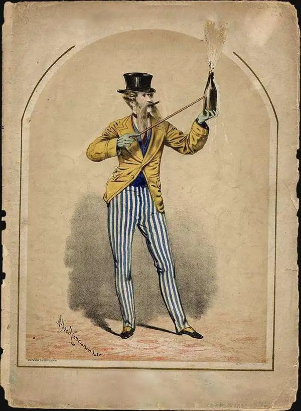
Alfred Concanen (May 1835 - December 10, 1886) was a British publisher and lithographer active in London, England, in the second half of the 19th century. Concanen was of Northern Irish stock from the Galway region, but was born in Nottingham, England. His father Edward John Concanen (1804 - 1868) was a noted 'engineering artist' and portraitist. It is unclear where Concanen learnt lithography, but it is likely that he was trained by his father. As early as 16, Concanen is recorded as working as an attorney's clerk. Concanen worked for several years with the Illustrated Sporting and Dramatic News. In the 1850s he partnered with Thomas Wales Lee (1833 - 1910) and Henry Herepath Siebe (1832 - 1887) publishing under the imprints of 'Concanen, Lee and Siebe' and 'Concanen, Siebe and Co.' Lee left the firm in February 1865 and Concanen himself in December 1866. He also began publishing on his own, issuing sheet music covers, in 1860. While Concanen is most famous for his sheet music and theater broadsides, he did dabble in chromolithograph 'seat of war' views in partnership with Stannard and Son from about 1870. Described as 'slight of build with a fair full moustache, something of a dandy, good natured, generous, a play copy of the lions comiques whom he immortalized in his lithographs.' His studio was located at 12, Frith Street, Soho, London. Concanen died suddenly in 1886 after a post-theater visit to a pub on the strand.
Two weeks before the Siege of Paris.
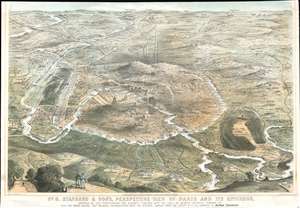
No. 8. Stannard and Son's, Perspective View of Paris and its Environs, Shewing All the Fortifications and Redoubts, Together with the Lines of Defense Recently Thrown Up, and the Roads, Rivers, and Railways Communication with the Interior.
sold
- Digital Map Information
- Suitable for large format printing
- File Size: 56.05 MB
- File Type: ZIP / TIFF
- ICC color profile embedded
- Delivered instantly via download link
Published eighteen days before the beginning of the Siege of Paris on September 17, 1870, this 1870 Alfred Concanen view of Paris and its environs details the newly constructed defensive works around the French capital. Paris itself occupies the center of the view, and the Louvre and Notre Dame are easily identifiable, along with the Arc de Triomphe, the Panthéon, and the Invalides. The city's walls encircle the entire city, spanning 20.5 miles. A series of sixteen disconnected forts, constructed to protect the city gates, surround the city. Redoubts and other fortifications were built as well to supplement the forts. (more details)
Two weeks before the Siege of Paris.
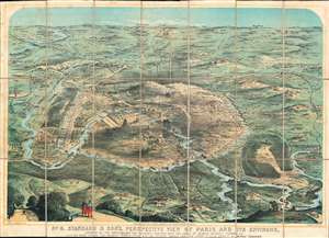
No. 8. Stannard and Son's, Perspective View of Paris and its Environs, Shewing All the Fortifications and Redoubts, Together with the Lines of Defense Recently Thrown Up, and the Roads, Rivers, and Railways Communication with the Interior.
sold
- Digital Map Information
- Suitable for large format printing
- File Size: 61.17 MB
- File Type: ZIP / TIFF
- ICC color profile embedded
- Delivered instantly via download link
Published eighteen days before the beginning of the Siege of Paris on September 17, 1870, this 1870 Alfred Concanen view of Paris and its environs details the newly constructed defensive works around the French capital. Paris itself occupies the center of the view, and the Louvre and Notre Dame are easily identifiable, along with the Arc de Triomphe, the Panthéon, and the Invalides. The city's walls encircle the entire city, spanning 20.5 miles. A series of sixteen disconnected forts, constructed to protect the city gates, surround the city. Redoubts and other fortifications were built as well to supplement the forts. (more details)
Two weeks before the Siege of Paris.
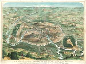
No. 8. Stannard and Son's, Perspective View of Paris and its Environs, Shewing All the Fortifications and Redoubts, Together with the Lines of Defense Recently Thrown Up, and the Roads, Rivers, and Railways Communication with the Interior.
sold
- Digital Map Information
- Suitable for large format printing
- File Size: 53.72 MB
- File Type: ZIP / TIFF
- ICC color profile embedded
- Delivered instantly via download link
Published eighteen days before the beginning of the Siege of Paris on September 17, 1870, this 1870 Alfred Concanen view of Paris and its environs details the newly constructed defensive works around the French capital. Paris itself occupies the center of the view, and the Louvre and Notre Dame are easily identifiable, along with the Arc de Triomphe, the Panthéon, and the Invalides. The city's walls encircle the entire city, spanning 20.5 miles. A series of sixteen disconnected forts, constructed to protect the city gates, surround the city. Redoubts and other fortifications were built as well to supplement the forts. (more details)
The Balkans on the cusp of their independence of the Ottoman Empire.
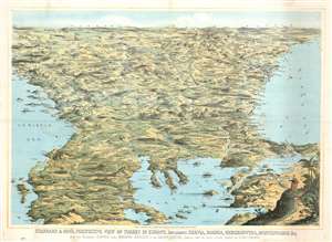
Stannard and Son's, Perspective View of Turkey in Europe, Including Servia, Bosnia, Herzegovina, Montenegro, and c, with the Adjoining Countries more Immediately Interested in the Eastern Question, Compiled from the Latest Official Sources, by Alfred Concanen.
sold
- Digital Map Information
- Suitable for large format printing
- File Size: 52.56 MB
- File Type: ZIP / TIFF
- ICC color profile embedded
- Delivered instantly via download link
An impressive 1876 William Stannard and Alfred Concanen bird's-eye perspective view of the Balkans during the Great Eastern Crises (1875 - 1878). The view centers on Sofia, Bulgaria, with coverage extending from the Adriatic to the Black Sea and from Odessa and Belgrade to Thessaly (Greece), embracing modern day Bulgaria, the Sea of Marmora, the Dardanelles, Montenegro, Bosnia, Serbia, Herzegovina, and Albania. (more details)