
Hachette and Company (sold)

Hachette and Company (fl. 1826 – present) was founded by Louis Hachette (1801 - 1864) in 1826 with the purchase of the Paris Bookshop Brédif. Shortly after acquiring the bookshop Louis Hachette began publishing Le Journal pour Tous, a successful general interest magazine. He also published a series of useful reference works which were sold through Paris in bookshops, train stations, and public offices. These included multiple maps and atlases geared toward the tourist visiting Paris for the first time. Louis Hachette himself died in 1864, but his empire continued to grow under the governance of his sons. Eventually the Hachette publishing firm came to dominate French publishing and attracted international interest. Via a series of mergers and acquisitions the firm eventually came under the control of Filipacchi Media and was rename Hachette-Filipacchi. Today the firm publishes books and magazines internationally.
The first printed example of a Babinet / Mollweide Projection?
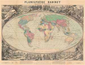
Planisphère Babinet Physique et Politique.
sold
- Digital Map Information
- Suitable for large format printing
- File Size: 192.9 MB
- File Type: ZIP / TIFF
- ICC color profile embedded
- Delivered instantly via download link
A stunning c. 1860 wall-sized map of the world on a Mollweide or Babinet Projection surrounded by elaborate allegorical imagery. Our research suggests this is one of the earliest, if not the earliest, published example of a Mollweide Projection. The map is centered on Europe and is, indeed, Eurocentric, with color coding intended to represent colonial claims around the world. Tracks at sea illustrate popular maritime routes across the Atlantic and to various points, around Africa, and to Australia, China, and the East Indies. Text at bottom center by Victor Adolphe Malte-Brun (1816 - 1889) and Hermann Berghaus (1828 - 1890), the preeminent geographers of the day, praise the usefulness and practicality of the Mollweide / Babinet projection. (more details)
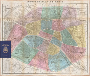
Nouveau Plan de Paris Divise en Vingt Arrondissements.
sold
- Digital Map Information
- Suitable for large format printing
- Full resolution TIFF file
- ICC color profile embedded
- Delivered instantly via download link
A spectacular large format linen backed folding map of Paris, France. Published by the Hachette firm in 1870. Depicts the city in extraordinary hand colored detail with all train lines, streets and major buildings depicted. Comes with booklet containing a useful ... (more details)
Detailed city plan of Paris.
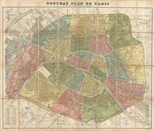
Nouveau Plan De Paris Divise en Vingt Arrondisements.
sold
- Digital Map Information
- Suitable for large format printing
- File Size: 43.01 MB
- File Type: ZIP / TIFF
- ICC color profile embedded
- Delivered instantly via download link
This is a beautiful c. 1878 city plan or map of Paris, France by the French cartographer A. Vuillemin. Centered on the Seine River, it covers embastilled Paris as contained in the Thiers Wall. Parts of the Bois de Boulogne and the Bois de Vincennes is also ... (more details)
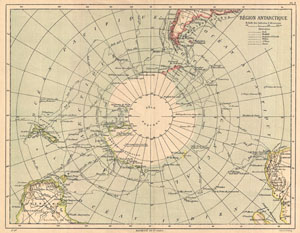
Region Antarctique.
sold
- Digital Map Information
- Suitable for large format printing
- File Size: 3.86 MB
- File Type: ZIP / TIFF
- ICC color profile embedded
- Delivered instantly via download link
An uncommon color map of the Antarctic region. Published by the Hachette firm, circa 1890. Reflects a relatively primitive state of exploration in the region though a number of exploratory routes mapped out. A key in the upper left quadrant lists the ... (more details)
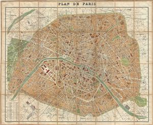
Plan de Paris.
sold
- Digital Map Information
- Suitable for large format printing
- File Size: 38.9 MB
- File Type: ZIP / TIFF
- ICC color profile embedded
- Delivered instantly via download link
A beautiful example of Alexandre Vuillemin's 1891 map or plan of Paris, France. Centered on the Seine River, the map covers the embastilled center of Paris divided into 20 arrondissments. Fine detail is present throughout the map, with important ... (more details)
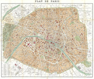
Plan de Paris
sold
- Digital Map Information
- Suitable for large format printing
- File Size: 33.32 MB
- File Type: ZIP / TIFF
- ICC color profile embedded
- Delivered instantly via download link
This is a large format folding map of Paris dating to 1892. Covers the old walled city of Paris plus surrounding areas from the Bois de Boulogne to the Bois de Vincennes. Names countless important buildings, gardens and streets, including the ... (more details)
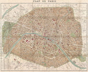
Plan de Paris
sold
- Digital Map Information
- Suitable for large format printing
- File Size: 33.74 MB
- File Type: ZIP / TIFF
- ICC color profile embedded
- Delivered instantly via download link
A rare and extremely attractive map of Paris, France drawn by A. Vuillemin and issued by the Librarie Hachette in 1894. Drawn shortly after the 1889 Exposition Universelle, this is one of the earlier maps of Paris to depict the Eiffel Tower. ... (more details)
Plan of Paris illustrating the early development of the Paris Metro.
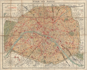
Plan de Paris.
sold
- Digital Map Information
- Suitable for large format printing
- File Size: 35.03 MB
- File Type: ZIP / TIFF
- ICC color profile embedded
- Delivered instantly via download link
An attractive map of Paris, France issued around 1910 by Hachette and Company. The map covers the old walled city of Paris from the Bois de Boulogne in the west to the Bois de Vincennes in the east. All streets are labeled as are various ... (more details)
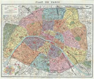
Plan de Paris.
sold
- Digital Map Information
- Suitable for large format printing
- Full resolution TIFF file
- ICC color profile embedded
- Delivered instantly via download link
This is an extremely appealing c.1924 tourist pocket map or plan of Paris, France, by the Librarie Hachette. Centered on the Seine River, it covers embastilled Paris as contained in the Thiers Wall, and its immediate vicinity, including ... (more details)