
Lee, Robert E. (sold)
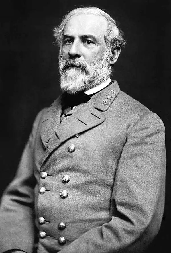
Robert E. Lee (Jan 19, 1807 - October 12, 1870) was an American career military officer most famous for commanding the Confederate Army of Northern Virginia during the American Civil War. Lee's brilliance as a military commander, despite his adamant opposition to both slavery and succession, nearly led to Confederate victory in the Civil War. His military achievements and significance are far too great for us to cover here. His role as a cartographer is on the other hand often overlooked. Lee was born to an aristocratic Virginia family that unfortunately fell on hard times in his youth. As a young man Lee attended Extern View School and later West Point Military Academy. His focus was engineering and after graduating he joined the Army Corps of Engineers. Initially Lee was stationed at Cockspur Island, Georgia, where he worked on plans to construct a fort to protect the Savannah River. Later he helped to survey the Ohio-Michigan Boundary. Promoted to First Lieutenant Lee was assigned to supervise engineering work on St. Louis Harbor and to map Des Moines and Rock Island Rapids, both major obstacles to commercial navigation on the Mississippi. Promoted to Captain for his successes he became resident engineer at Fort Hamilton. With the outbreak of the Mexican-American war Lee earned numerous distinctions, emerging form the war as one of America's boldest and most brilliant military commanders. In 1859 he put down John Brown's slave revolt at Harper's Ferry. With the election of Abraham Lincoln and the outbreak of the American Civil War, Lee took on his most significant role as commander of the Confederate Army of Northern Virginia. The rest is, as they say, history.
On the eve of the Texan Revolution...
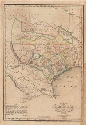
Map of Texas, containing the latest Grants and Discoveries by E. F. Lee.
sold
- Digital Map Information
- Suitable for large format printing
- DPI: 600
- File Size: 7.52 MB
- File Type: ZIP / TIFF
- ICC color profile embedded
- Delivered instantly via download link
The rare 1836 Edmund F. Lee map of Texas produced for David Barnett Edward's History of Texas - a seminal work published on the eve of the March 1836 Texan Revolution and founding of the Republic of Texas. The map is loosely derived from the Stephen Austin map, the only readily available source at the time, but has been reduced and revised by Lee for smaller format publication. It unveils Texas extending from the Sabine to the Nueces River and from Corpus Christi to the Red River. A note in the lower left expresses the Texan ambition to extend the boundary west as far as the Rio Grande. The map notes several early Texas Empresario Land Grants, including: 'McMullen and McGlone', Woodbury, Cameron (2), 'Austin and Williams', Austin, DeWitt, Austin's Colony, De Leon, Burnet, Powers, Whelin, Zavallo, and Felisola. (more details)
An important map for Mississippi River Navigation by future Confederate General Robert E. Lee.
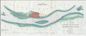
No. 3. Map of the Harbor of St. Louis, Mississippi River. Oct. 1837.
sold
- Digital Map Information
- Suitable for large format printing
- Full resolution TIFF file
- ICC color profile embedded
- Delivered instantly via download link
A scarce 1837 map of the Mississippi River in the vicinity of St. Louis, Missouri by Robert E. Lee. Centered on the Mississippi River and oriented to the west, this map covers from Cahoe Island, past the sprawling city of Saint Louis, northwards as far as ... (more details)
An important map for Mississippi River Navigation by future Confederate General Robert E. Lee.
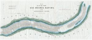
No. 1. Map of the Des Moines Rapids, of the Mississippi River.
sold
- Digital Map Information
- Suitable for large format printing
- Full resolution TIFF file
- ICC color profile embedded
- Delivered instantly via download link
A scarce 1837 map of the Mississippi River's Des Moines Rapids in the vicinity of Fort Des Moines (Montrose, Iowa) by Robert E. Lee. Centered on the Mississippi River and oriented to the west, this map covers from Fort Des Moines south along the river for ... (more details)
An important map for Mississippi River Navigation by future Confederate General Robert E. Lee.
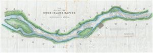
No. 2. Map of the Rick Island Rapids, of the Mississippi River.
sold
- Digital Map Information
- Suitable for large format printing
- Full resolution TIFF file
- ICC color profile embedded
- Delivered instantly via download link
A scarce 1837 map of the Mississippi River's Rock Island Rapids in the vicinity of Milan, Illinois by Robert E. Lee. Centered on the Mississippi River and oriented to the west, this map covers from Fort Armstrong on Rock Island, past Milan, Illinois ... (more details)