
Lippincott, Joshua Ballinger (sold)
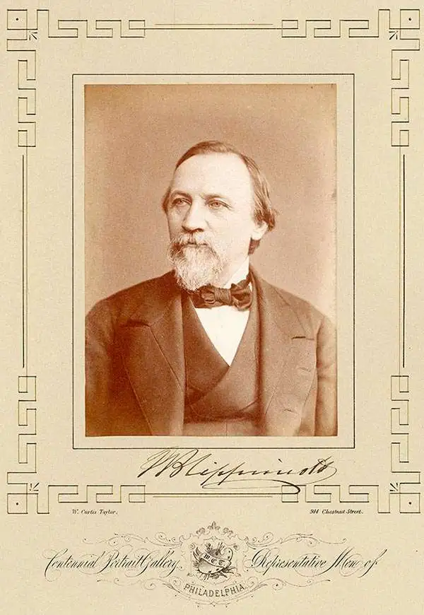
Joshua Ballinger Lippincott (March 18, 1813 - 1886) was the founder of J. B. Lippincott and Co. (1836-2002), an American publishing house founded in Philadelphia, Pennsylvania in 1836. Lippincot was born in Juliustown, New Jersey. He relocated to Philadelphia in 1827 where he worked at Clark's Bookstore (1827 - 1836). Clark's went bankrupt in 1836 and in the same year Lippincott started his own company. Meeting with considerable success, in 1849, he acquired the entire stock of the publishing house Grigg, Elliott, and Company. This acquisition positioned Lippincott as the primer publisher in Philadelphia. The next year, 1850, the firm reorganized and took a a new partner, Grumbo, emerging as Lippincott, Grumbo, and Company. In 1855, the partner Grumbo retired and the company name reverted to J.B. Lippincott and Company. He founded Lippincott’s Magazine in 1868 and the Medical Journal a few years later. In 1875, Lippincott founded an agency in London to import European literature into the United States. During his life he was a director of the Reading Railroad, the Philadelphia Saving Bank, the Union League Club, and the Academy of Fine Arts, as well as a trustee of the University of Pennsylvania. His firm became the J. B. Lippincott Company in 1878, and was subsequently acquired by Harper and Row Publishers in 1978. In 1995, Wolters Klumer N.V. of the Netherlands purchased the company, which became Lippincott-Raven Publishers in 1996 and Lippincott Williams and Wilkins in 1998. In 2002, the firm ceased to exist and became Wolters Kluwer Health.
A definitive early map of the Hopi (Moqui) pueblos in New Mexcio and Arizona.
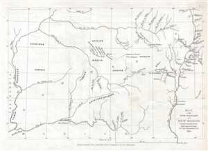
Map of the South western part of New Mexico.
sold
- Digital Map Information
- Suitable for large format printing
- DPI: 300
- File Size: 1.28 MB
- File Type: ZIP / TIFF
- ICC color profile embedded
- Delivered instantly via download link
This is an 1853 Seth Eastman map of New Mexico and Arizona focusing on the seven Moqui or Hopi pueblos. The map depicts the region from the Colorado River to the Rio Grande del Norte and the cities of Santa Fe and Taos, New Mexico, and from Utah to the Gila River ... (more details)
Striking thermal map of North America illustrating Gilpin's climate theories.
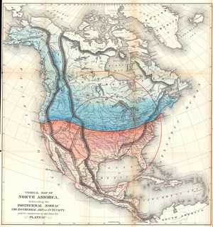
Thermal Map of North America, delineating the Isothermal Zodiac the Isothermal Axis of Intensity and its expansions up and down the Plateau.
sold
- Digital Map Information
- Suitable for large format printing
- File Size: 15.55 MB
- File Type: ZIP / TIFF
- ICC color profile embedded
- Delivered instantly via download link
This is an 1873 William Gilpin geological map of North and Central America. The map depicts from the Arctic Ocean to South America and from the Pacific to the Atlantic. This map is the third map from Gilpin's book Mission of the North American People . Gilpin ... (more details)