
McLellan, David (sold)
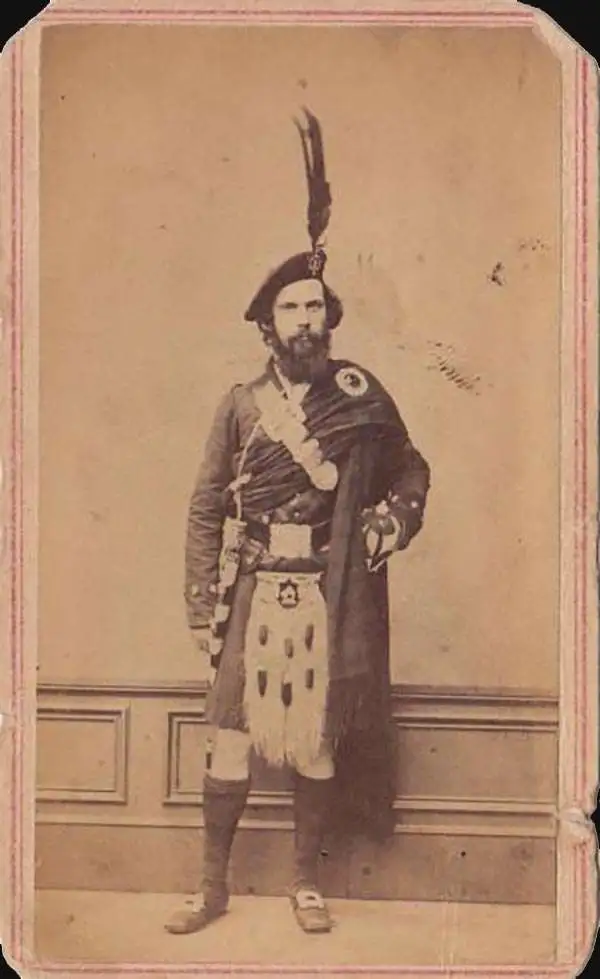
David McLellan (September 20, 1825 - July 26, 1867) was a Scottish-American lithographer and printer active in New York City in the middle part of the 19th century. McLellan was born Pollockshaws, Renfrewshire, Scotland. He lived in Glasgow for about 20 years, where he mastered printing and lithography under his father James McLellan (1798 - 18??). In 1847, he immigrated to New York City with his brother, James McLellan. David initially printed under his own name, 'David McLellan (1851 - 1854), the with in partnership with his brother, James, as 'D and J. McLellan' (1855 - 1860), and then again under his own name during the Civil War from 1862 -1863, then as 'David McLellan and Brothers' (1864 - 1866). He joined the mostly Scottish 79th 'Highlander' Regiment, with whom he participated with the rank of 'Major' in the American Civil War (1862 - 1865). During his long career as a New York lithographer, McLellan worked with many prominent publishers, including J. H. Colton, Edward Valois, James Ackerman, the U.S. Coast Surrey. After his death in 1867 he was interred in Greenwood Cemetery. The McLellan printing business continued after his death under the imprint of John McLellan (1867 - 1868) and J. (John) and R. (Robert) McLellan (1869). No further McLellan work is known after 1869.
An ephemeral period in the American West following the Kansas-Nebraska Act.
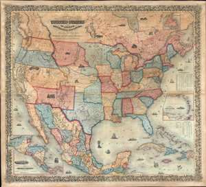
Colton's map of the United States of America, the British provinces, Mexico and the West Indies. Showing the country from the Atlantic to the Pacific Ocean.
sold
- Digital Map Information
- Suitable for large format printing
- DPI: 600
- File Size: 205.98 MB
- File Type: ZIP / TIFF
- ICC color profile embedded
- Delivered instantly via download link
This is a large 1854 J. H. Colton wall map of the United States with significant Trans-Mississippi and Great Plains content. This is the largest and most significant of the three separate issue maps of the United States Colton issued in the 1850s. It covers the entire United States as well as most of Mexico, parts of southern Canada, and the Greater Antilles. Central America and the lower Antilles appear in insets. There are numerous ethnographical, geographical, and historical vignettes throughout including a wagon train, American Indians hunting, ships, palm trees, volcanoes, and more. (more details)
The transmississippi in transition.
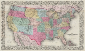
The United States of America 1854.
sold
- Digital Map Information
- Suitable for large format printing
- File Size: 70.8 MB
- File Type: ZIP / TIFF
- ICC color profile embedded
- Delivered instantly via download link
A rare example of J.H. Colton's 1854 map of the United States of America. This is the first iteration of Colton's United States map, issued separately and predating its reduced issue in the iconic atlas of 1855. Among other features, it is notable for providing a snapshot of the rapid territorial changes on the Great Plains and the Western U.S. The early manifestation of Nebraska Territory with unusual territorial, a late curious appearance of Northwest Territory, and the still-uncertain status of the lands acquired through the Gadsden Purchase are particularly noteworthy. (more details)