
Poirson, Jean-Baptiste (sold)
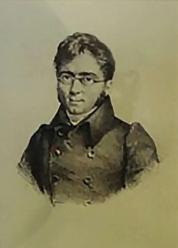
Jean-Baptiste Poirson (March 6, 1761 – February 12, 1831) was a French engineer, globe-maker, geographer, and cartographer active in the late 18th and early 19th centuries. Poirson was born in Vrécourt (Vosages), France, the son of the town's master blacksmith, Pierre Poirson. Completing his studies in mathematics, Poirson took a position with the map publisher Edme Mentelle (1730 - 1815). From about 1790, maps begin appearing under the Poirson imprint. Having attained some recognition for correcting the work of earlier geographers, Porison was part of a team that collaborated on a large terrestrial globe for the instruction of the Dauphin. After 1803, he was again called on to produce an updated globe, this time for Napoleon Boneparte (this globe is preserved at Fontainebleau). Among his more significant works are the maps associated with the French edition of Alexander von Humboldt's Atlas Geographique Et Physique Du Royaume De La Nouvelle-Espagne. He also worked with Conrad Malte-Brun (1775 - 1826) and François-Raymond-Joseph de Pons (1751 - 1812). In 1825, Poirson and his wife settled in Valence-en-Brie (Seine-et-Marn), purchasing a house on the main street, today's Rue André-Taboulet. He died there in1831 and was survived by his son, the famous French playwright Charles-Gaspard Delestre-Poirson (1790 – 1859).
Native American settlements in Florida, the Carolinas, and Georgia.
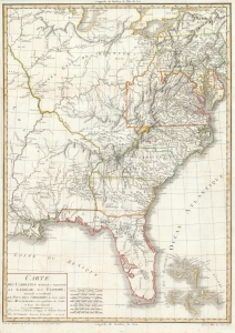
Carte des Carolines Meridionale et Septentrionale, La Georgie, La Floride, Orientale et Occidentale, Le Pays des Cherokees, la Vaste Contree des Muscogulges, ou la Confederation des Creks et Pays des Chataws.
sold
- Digital Map Information
- Suitable for large format printing
- DPI: 600
- File Size: 27.45 MB
- File Type: ZIP / TIFF
- ICC color profile embedded
- Delivered instantly via download link
A beautiful 1799 example of Jean Baptiste Poirson's map of the American Southeast. This map was engraved to illustrate the 1799 first French edition of the naturalist William Bertram's travel narrative describing his explorations in the American Southeast. (more details)
Map illustrating the fading French Louisiana just before the Louisiana Purchase.
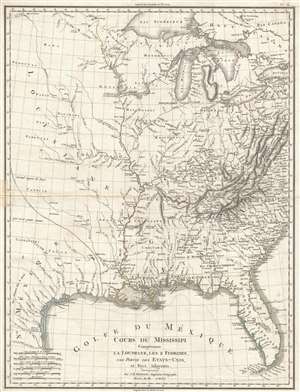
Cours Du Mississipi Comprenant La Louisiane, Les 2 Florides, Une Partie Des Etats-Unis, et Pays Adjacents.
sold
- Digital Map Information
- Suitable for large format printing
- DPI: 300
- File Size: 8.83 MB
- File Type: ZIP / TIFF
- ICC color profile embedded
- Delivered instantly via download link
A scarce 1803 map by Jean-Baptiste Poirson illustrating French Louisiana on the cusp of the Louisiana Purchase. Centered on the Mississippi River Valley, the map extends from the Great Lakes to the Gulf of Mexico, including parts of Texas, both East and west ... (more details)
On the cusp of the Louisiana Purchase.
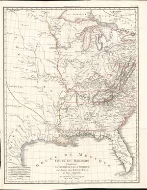
Cours Du Mississipi Comprenant La Louisiane, Les 2 Florides, Une Partie Des Etats-Unis, et Pays Adjacents.
sold
- Digital Map Information
- Suitable for large format printing
- Full resolution TIFF file
- ICC color profile embedded
- Delivered instantly via download link
A scarce 1803 map by Jean-Baptiste Poirson illustrating French Louisiana and the United States just prior to the Louisiana Purchase. Centered on the Mississippi River Valley, the map extends from the Great Lakes to the Gulf of Mexico, including parts of Texas, both East and west Florida, and contiguous parts of the United States. The map is noteworthy for its illustration of the fading Franco-Spanish presence in Louisiana. (more details)
'An important map.' - Wheat
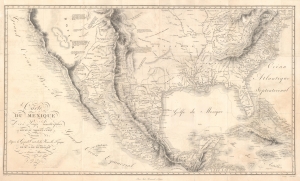
Carte Du Mexique et des Pays Limitrophes Situes Au Nord et a l'est Dressee d'apres la Grande Carte de la Nouvelle Espagne De Mr. A. De Humboldt et d'autres Materiaux par J.B. Poirson.
sold
- Digital Map Information
- Suitable for large format printing
- DPI: 600
- File Size: 70.19 MB
- File Type: ZIP / TIFF
- ICC color profile embedded
- Delivered instantly via download link
A seminal 1811 / 1827 map of Mexico and the American West by Alexander von Humboldt. Humboldt, who during his lifetime was considered the 'world's greatest living man,' composed this map during his 1803 sojourn in Mexico. Though often playing second fiddle to Humboldt's more regional Carte Generale du Royaume de la Nouvelle Espagne, published in the same volume, this map is a cartographic achievement in its own right and, as Wheat notes 'an Important Map.' (more details)