
Thomas Brothers (sold)
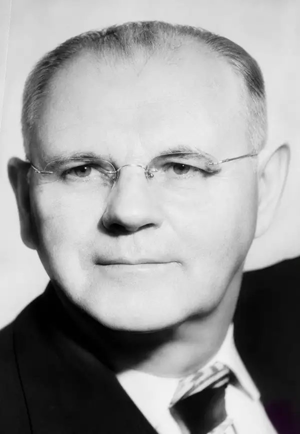
Thomas Brothers (1915 – 1999) was a prominent California-based English-American publisher specializing in maps and guidebooks. Founded in Oakland in 1915 by George Copeland Thomas, Guilbert Thomas, and Leonard Thomas, the company began modestly, selling maps of movie stars' homes from a Hollywood street corner, before developing into a major cartographic and guidebook publisher. Following George Thomas's death in 1955, his widow retained attorney Warren Wilson to organize the company's affairs. When none of the Thomas heirs expressed interest in continuing the business, Wilson and accountant Tom Tripodic purchased it, preserving the Thomas Brothers tradition while pursuing a new direction and eventually relocating the company's headquarters from San Francisco to Irvine, California. The firm prospered under Tripodic, growing to more than 200 employees and dominating the West Coast map market. Rand McNally acquired Thomas Brothers in 1999, laid off many of its experienced cartographers and employees in 2003, and closed the company's remaining California operations in 2009.
The emergence of the East Bay.
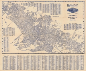
Map of Oakland, Berkeley, Piedmont, Alameda, Emeryville, San Leandro, Albany : [prepared for] Henry Z. Jones, Jr. Realtor.
sold
- Digital Map Information
- Suitable for large format printing
- Full resolution TIFF file
- ICC color profile embedded
- Delivered instantly via download link
A rare c. 1933 map of Oakland, Berkeley, and other East Bay cities issued by realtor Henry Z. Jones. It highlights the development of Oakland and the East Bay as an urban hub in the early 20th century. (more details)
Large attractive map of San Francisco.
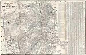
Thomas Bros Map of the City and County of San Francisco.
sold
- Digital Map Information
- Suitable for large format printing
- File Size: 19.61 MB
- File Type: ZIP / TIFF
- ICC color profile embedded
- Delivered instantly via download link
This is a c. 1938 pocket map or plan of the city of San Francisco by Thomas Bros. It depicts the city of San Francisco from the Golden Gate Bridge to Lake Merced and from the Pacific Ocean to Hunter's Point. Highly detailed, nearly all streets in the city are ... (more details)
Los Angeles on the eve of a population and freeway-building boom.
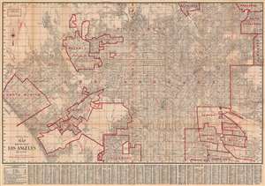
Thomas Bros. 1944 map, main portion of Los Angeles and vicinity.
sold
- Digital Map Information
- Suitable for large format printing
- Full resolution TIFF file
- ICC color profile embedded
- Delivered instantly via download link
This is a rare 1944 Thomas Brothers map of Los Angeles and surrounding communities (Beverly Hills, Santa Monica, Pasadena, etc.). It offers a glimpse of the geography of L.A. before the postwar population boom and development of interstate system. (more details)
A whimsical mid-century map of San Francisco.
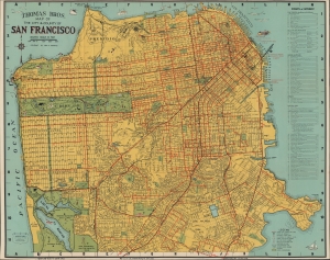
Thomas Bros. Map of The City and County of San Francisco.
sold
- Digital Map Information
- Suitable for large format printing
- File Size: 31.77 MB
- File Type: ZIP / TIFF
- ICC color profile embedded
- Delivered instantly via download link
This is the c. 1945 pictorial pocket map or plan of the city of San Francisco by Thomas Brothers. (more details)
Scenic Wonderland on San Francisco Bay.
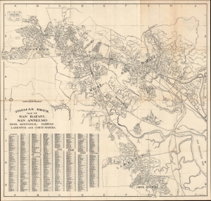
Thomas Bros. Map of San Rafael, San Anselmo, Ross, Kentfield, Fairfax, Larkspur and Corte Madera.
sold
- Digital Map Information
- Suitable for large format printing
- File Size: 31.36 MB
- File Type: ZIP / TIFF
- ICC color profile embedded
- Delivered instantly via download link
This is a c. 1946 Thomas Brothers folding map of San Rafael, San Anselmo, and nearby communities in Marin County, in the San Francisco Bay Area of California. (more details)
A beautiful town by the sea.
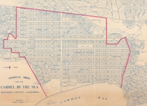
Thomas Bros. Map of Carmel-by-the-Sea, Monterey County, California.
sold
- Digital Map Information
- Suitable for large format printing
- File Size: 151.95 MB
- File Type: ZIP / TIFF
- ICC color profile embedded
- Delivered instantly via download link
A scarce large-scale c. 1949 Thomas Brothers map of Carmel-by-the-Sea on the Monterey Peninsula on California's Central Coast. By this time, Carmel and the Monterey Peninsula had been firmly established as a seaside haven for artists, writers, and other bohemians. This map is a significant enlargement fo the central portion of a smaller Thomas map, with red highlighting of the central district - likely intended for urban management. (more details)