
Titcomb, John Poore (sold)
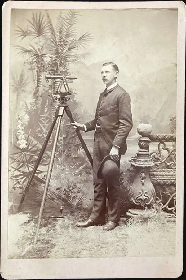
John Poore Titcomb (April 7, 1861 - June 26, 1932) was a civil engineer active in Florida and later Maine in the late 19th and early 20th century. Titcomb was born in West Newbury, Massachusetts. In both 1885 and 1886 he received homestead patents in Florida, near Lake Kerr, and in 1887, he appears in the Jacksonville city directory as a Civil Engineer. Similarly, in 1887, we see an advertisement for his services as a Notary and Civil Engineer in the Palatka Daily News. There he promotes his skill with the 'Blue Process' of map reproduction. He married Mary B. Todd (1868 - ????) in 1891. In this same year he was doing railroad and real estate surveys in and around Amesbury. Titcomb likely gave up these grants following the great freezes of 1894 - 1895, which devastate the Florida citrus industry. From 1892, until about 1899, Titcomb served as the City Engineer for St. Petersburg, Florida. Around 1900, he relocated to Amesbury, Massachusetts, where he was active as a surveyor and in the local Masonic lodge. It is likely he spent his winters in St. Petersburg and retained real estate interests there throughout this period. Sometime in the 1920s he appears on voter rolls in California, but he must have returned to Amesbury, as he died there in 1931.
Citrus boomtowns. Modern ghost towns.
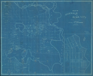
Norwalk and Kerr City Florida.
sold
- Digital Map Information
- Suitable for large format printing
- File Size: 930.67 MB
- File Type: ZIP / TIFF
- ICC color profile embedded
- Delivered instantly via download link
This is a unique c. 1886 cyanotype map of Norwalk and Kerr City, Marion County, north central Florida, by Civil Engineer John Poore Titcomb. The map provides a unique overview of the short-lived Citrus Boom communities west of the St. John's River before the disastrous freezes of 1894-95, highlighting property owners, including the mapmaker, throughout. (more details)
Official planning map by St. Petersburg, Florida.
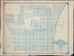
Map of the City of St. Petersburg Hillsborough Co. Florida 1906.
sold
- Digital Map Information
- Suitable for large format printing
- File Size: 2444.3 MB
- File Type: ZIP / TIFF
- ICC color profile embedded
- Delivered instantly via download link
An extraordinary 1906 wall map of St. Petersburg, Florida, issued at the height of its early 20th century development as a railroad and tourist town. The map was drawn by St. Petersburg's City Engineer, John Poore Titcomb, who took the position in 1901 and, in the year this map was issued, supervised the 1906 construction of the city's first sewer system - as identified here. (more details)
Official planning map by St. Petersburg, Florida - 2nd state.
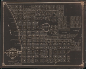
Map of the City of St. Petersburg Hillsborough Co. Florida 1906.
sold
- Digital Map Information
- Suitable for large format printing
- File Size: 90.03 MB
- File Type: ZIP / TIFF
- ICC color profile embedded
- Delivered instantly via download link
An extraordinary 1908 wall map of St. Petersburg, Florida, issued at the height of its early 20th century development as a railroad and tourist town. The only other known example of this map is a 1906 edition previously offered by Geographicus (StPetersburg-titcomb-1906). The present map features several major updates, including the additional developments of Lake Park, Lake Side, Richland Park, Glover, Plunket, and a row of commercial properties on First Street. The sewage lines, evident on the 1906 edition, are here removed to focus on other development.The map was drawn by St. Petersburg's City Engineer, John Poore Titcomb, who took the position in 1901. (more details)