
Valdés y Fernández Bazán, Antonio (sold)
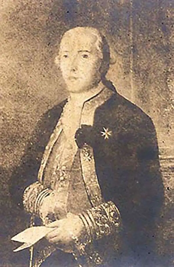
Antonio Valdés y Fernández Bazán (1744 – April 4, 1816) was a Spanish naval officer active in the latter part of the 18th century. He was born In Burgos, Spain, and entered the navy at age 13. He distinguished himself in the defense of Morro Castle and San Salvador de la Punta Fortress during the Battle of Havana (1762). He also fought against the Barbary Coast pirates in 1767. In 1781, he became director of the Royal Artillery Factory of La Cavada, and reorganized it to that extent that he was promoted to become inspector general of the Spanish Navy. In 1783, at the age of 38, he became Navy Minister and continued the modernization of the Spanish Navy. He became a knight in the Order of the Golden Fleece in 1797. His nephew, the explorer Cayetano Valdés y Flores, named Valdez, Alaska and Valdez, Florida, after him.
Extremely rare and impressively large 18th century map of Ibiza, Spain.
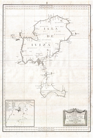
Carta Esférica de las Islas de Iuiza y Formentera;Presentada al Rey Nuestro Señor, Por el Emo. Sr. Bº. Fr. Dn. Antonio Valdés, Secretario de Estado, y del Despacho Universal de Marina;Y Construida Por el Brigadier de la Rl. Armada Dn. Vicente Tofiño de Sn. Miguel, Director de las Academias de Guardias Marinas &c.
sold
- Digital Map Information
- Suitable for large format printing
- DPI: 300
- File Size: 13.96 MB
- File Type: ZIP / TIFF
- ICC color profile embedded
- Delivered instantly via download link
An extremely rare large scale 1786 Spanish nautical chart detailing the Balearic Islands of Ibiza and Formentera by the famed hydrographers Vincente Tofiño de San Miguel and Antonio Valdés y Fernández Bazán. The map covers both islands in full with light ... (more details)
Extremely rare and impressively large 18th century map of Mallorca Spain.
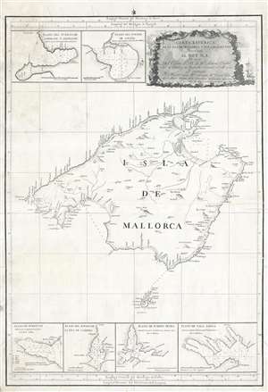
Carta Esferica de la Isla de Mallorca y sus adyacentes. Presentada al Rey N. S. por mano de... Antonio Valdés y construida por... Dn. Vicente Tofiño de S. Miguel, año 1786.
sold
- Digital Map Information
- Suitable for large format printing
- DPI: 300
- File Size: 14.54 MB
- File Type: ZIP / TIFF
- ICC color profile embedded
- Delivered instantly via download link
An extremely rare large scale 1786 Spanish nautical chart detailing the Balearic Island of Mallorca (Majorca) by the famed hydrographers Vincente Tofiño de San Miguel and Antonio Valdés y Fernández Bazán. The map covers Mallorca in full inclusive of the ... (more details)
Definitive 18th century chart of Mallorca.
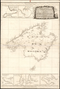
Carta Esferica de la Isla de Mallorca y sus adyacentes. Presentada al Rey N. S. por mano de... Antonio Valdés y construida por... Dn. Vicente Tofiño de S. Miguel, año 1786.
sold
- Digital Map Information
- Suitable for large format printing
- Full resolution TIFF file
- ICC color profile embedded
- Delivered instantly via download link
An extremely rare large scale 1786 Spanish nautical chart detailing the Balearic Island of Mallorca (Majorca) by the famed hydrographers Vincente Tofiño de San Miguel and Antonio Valdés y Fernández Bazán. The map covers Mallorca in full inclusive of the ... (more details)
Extremely rare and impressively large 18th century map of Menorca, Spain.
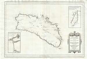
Carta Esférica de las Isla de Menorca; Presentada al Rey Nuestro Señor.
sold
- Digital Map Information
- Suitable for large format printing
- DPI: 300
- File Size: 24.51 MB
- File Type: ZIP / TIFF
- ICC color profile embedded
- Delivered instantly via download link
An extremely rare large scale 1786 Spanish nautical chart detailing the Balearic Island of Menorca (Minorca) by the famed hydrographers Vincente Tofiño de San Miguel and Antonio Valdés y Fernández Bazán. The map covers the island in full with light ... (more details)
Extremely rare and impressively large 18th century map of Mallorca Spain.
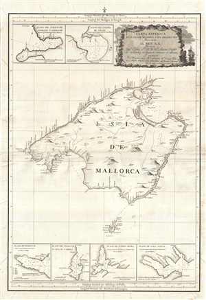
Carta Esferica de la Isla de Mallorca y sus adyacentes. Presentada al Rey N. S. por mano de... Antonio Valdés y construida por... Dn. Vicente Tofiño de S. Miguel, año 1786.
sold
- Digital Map Information
- Suitable for large format printing
- Full resolution TIFF file
- ICC color profile embedded
- Delivered instantly via download link
An extremely rare large scale 1786 Spanish nautical chart detailing the Balearic Island of Mallorca (Majorca) by the famed hydrographers Vincente Tofiño de San Miguel and Antonio Valdés y Fernández Bazán. The map covers Mallorca in full inclusive ... (more details)