
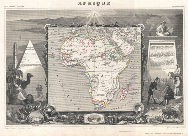
Afrique.
sold
- Digital Map Information
- Suitable for large format printing
- DPI: 300
- File Size: 10.33 MB
- File Type: ZIP / TIFF
- ICC color profile embedded
- Delivered instantly via download link
A fine example of V. Levasseur's desirable decorative map of Africa, dated 1852. Shows the entire continent according to perceptions of the time. Much of the interior is vague and unmapped, with the exception of the northern Nile Valley, the French colonies in ... (more details)
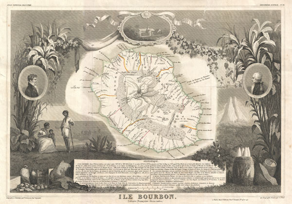
Ile Bourbon. Colonie Francaise (Ocean Indien.)
sold
- Digital Map Information
- Suitable for large format printing
- DPI: 300
- File Size: 9.01 MB
- File Type: ZIP / TIFF
- ICC color profile embedded
- Delivered instantly via download link
This is a fascinating 1857 map of the French department of Ile. Bourbon or Reunion. Bourbon, or Reunion, is a volcanic island off the coast of Africa. It is one of France's few remaining colonies in the Indian Ocean. Reunion is known for its striking natural ... (more details)
Part of France's important Burgundy or Bourgogne wine region.

Dept. de la Cote d'Or.
sold
- Digital Map Information
- Suitable for large format printing
- DPI: 300
- File Size: 11.58 MB
- File Type: ZIP / TIFF
- ICC color profile embedded
- Delivered instantly via download link
This is a fascinating 1857 map of the French department of Cote D'Or, France. Part of France's Burgundy or Bourgogne wine region, a premier wine-growing region of France. It produces what are arguably the world's finest, and most expensive Pinot noir and ... (more details)
Map of France's Selles Sur Cher cheese region.

Dept. du Cher.
sold
- Digital Map Information
- Suitable for large format printing
- DPI: 300
- File Size: 9.1 MB
- File Type: ZIP / TIFF
- ICC color profile embedded
- Delivered instantly via download link
This is a fascinating 1857 map of the French department of Cher, France. This area of France is known for its production of Selles Sur Cher, a goats-milk cheese. The whole is surrounded by elaborate decorative engravings designed to illustrate both the ... (more details)
France's Pineau wine region, part of the Cognac region, and some of the best truffeling lands in Europe.
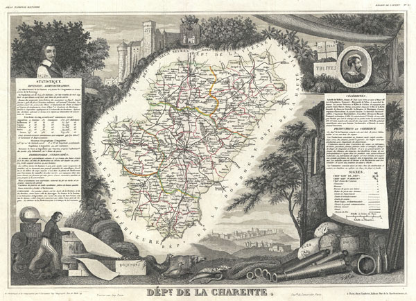
Dept. de la Charente.
sold
- Digital Map Information
- Suitable for large format printing
- DPI: 300
- File Size: 8.86 MB
- File Type: ZIP / TIFF
- ICC color profile embedded
- Delivered instantly via download link
This is a fascinating 1857 map of the French department of Charente, France. This area of France is famous for its production of a wide variety of goat cheeses, such as Chabichou, Mothais, Buche du Poitou, and Chabi. In fact, it produces a third of all ... (more details)
Map of France's Cantal cheese region.

Dept. du Cantal.
sold
- Digital Map Information
- Suitable for large format printing
- DPI: 300
- File Size: 8.82 MB
- File Type: ZIP / TIFF
- ICC color profile embedded
- Delivered instantly via download link
This is a fascinating 1857 map of the French department of Cantal, France. This area of France is known for its production of Cantal, a firm cheese, named after the region. The whole is surrounded by elaborate decorative engravings designed to ... (more details)
Map of France's Calvados region.

Dept. du Calvados.
sold
- Digital Map Information
- Suitable for large format printing
- DPI: 300
- File Size: 9.63 MB
- File Type: ZIP / TIFF
- ICC color profile embedded
- Delivered instantly via download link
This is a fascinating 1857 map of the French department of Calvados, France. This area of France is known for its production of Calvados, the world's fines apple brandy. The whole is surrounded by elaborate decorative engravings designed to ... (more details)
Map of France's Cotes du Rhone wine region.

Dept. Des Bes. Du Rhone.
sold
- Digital Map Information
- Suitable for large format printing
- Full resolution TIFF file
- ICC color profile embedded
- Delivered instantly via download link
This is a fascinating 1857 map of the French department of Bes Du Rhone, France. Covers the coastal region to the north surrounding Mareseille. This area of France is known for its variety of wines. The northern sub-region produces red ... (more details)
Map of France's Roquefort Cheese region.

Dept. de L'Aveyron
sold
- Digital Map Information
- Suitable for large format printing
- DPI: 300
- File Size: 9.77 MB
- File Type: ZIP / TIFF
- ICC color profile embedded
- Delivered instantly via download link
This is a fascinating 1857 map of the French department of Aveyron, France. This area of France, centered on Rodez, is famous for its production of Roquefort, a flavorful ewe's milk blue cheese. This region is also known for the ... (more details)
Map of Charouce cheese region and Champagne wine region of France.

Dept. De L'Aube.
sold
- Digital Map Information
- Suitable for large format printing
- DPI: 300
- File Size: 9.79 MB
- File Type: ZIP / TIFF
- ICC color profile embedded
- Delivered instantly via download link
This is a fascinating 1857 map of the French department of Aube, France. This area of France is known for its production of Chaource, a soft and salted cheese. Aube is part of France's Champagne region. The whole is surrounded ... (more details)
Map of France's Bethmale, Bamalous, Moulis and Rogallai cheese region.

Dept. De L'Ariege.
sold
- Digital Map Information
- Suitable for large format printing
- DPI: 300
- File Size: 9.37 MB
- File Type: ZIP / TIFF
- ICC color profile embedded
- Delivered instantly via download link
This is a fascinating 1857 map of the French department of Ariege, France. This area of France is known for its production of semi-soft and mild cheeses, such as Bethmale, Bamalous, Moulis and Rogallai. The whole is surrounded ... (more details)
Region known for its effervescent white wines.

Dept. des Ardennes.
sold
- Digital Map Information
- Suitable for large format printing
- DPI: 300
- File Size: 9.81 MB
- File Type: ZIP / TIFF
- ICC color profile embedded
- Delivered instantly via download link
This is a fascinating 1857 map of the French department of Ardennes, France. Part of France's important Champagne producing region. The whole is surrounded by elaborate decorative engravings designed to illustrate both the ... (more details)
Map of the Coteaux annd Collines Rhodaniennes wine regions of France.

Dept. Des Hautes Alpes.
sold
- Digital Map Information
- Suitable for large format printing
- DPI: 300
- File Size: 9.84 MB
- File Type: ZIP / TIFF
- ICC color profile embedded
- Delivered instantly via download link
This is a fascinating 1857 map of the French department of Hautes Alpes, France. This area of France is known for its production of Coteaux and Collines Rhodaniennes wines. The area is also famous for its chestnuts. The ... (more details)
The only published map to exhibit the Jedediah Smith's seminal explorations in the American west.
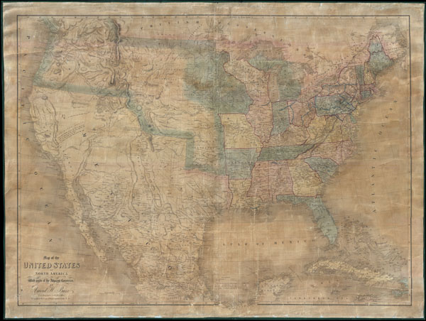
Map of the United States Of North America With parts of the Adjacent Countries.
sold
- Digital Map Information
- Suitable for large format printing
- DPI: 300
- File Size: 81.27 MB
- File Type: ZIP / TIFF
- ICC color profile embedded
- Delivered instantly via download link
This is David H. Burr's unobtainable 1839 wall map of the United States. Burr's map is significant as the only published example of Jedediah Smith's cartography, considered by C. I. Wheat a 'tour-de-force unprecedented and never equaled in the annals of Western exploration.' Smith's 'mountain man' cartography filled a gap in the mapping of the Transmississippi West - after Lewis and Clark (1804 - 06) but before the government-funded expeditions of Fremont (1840). (more details)
Important early edition of Garnier's popular map of the Paris Monuments.
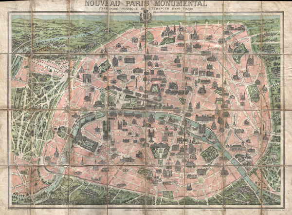
Nouveau paris Monumental Intineraire Pratique de L'Etranger dans Paris.
sold
- Digital Map Information
- Suitable for large format printing
- File Size: 20.61 MB
- File Type: ZIP / TIFF
- ICC color profile embedded
- Delivered instantly via download link
This is an extremely attractive 1900 tourist pocket map of Paris, France. Published by Garnier Freres, this is most likely the 1900 first edition. Covers the walled city of Paris and the immediate vicinity from ... (more details)
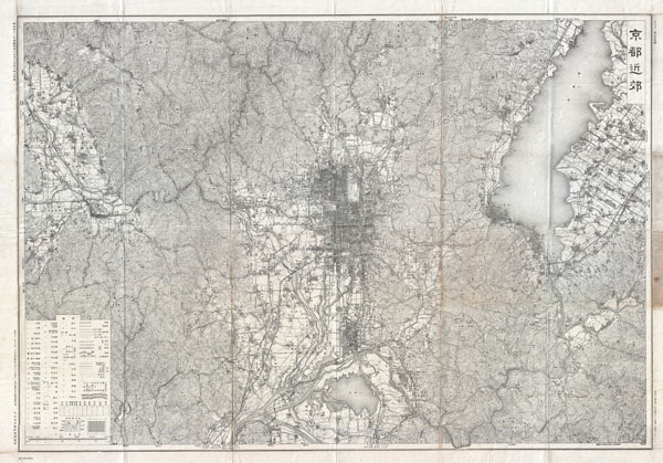
Kyoto.
sold
- Digital Map Information
- Suitable for large format printing
- File Size: 16.18 MB
- File Type: ZIP / TIFF
- ICC color profile embedded
- Delivered instantly via download link
This is a large and spectacular 1936 or Showa 11 topographical plan or map of Kyoto, Japan. Details all of Kyoto as well as its suburban precincts on a scale of 1:50,000. Features more than 50 legend items noting ... (more details)
Rare post Liberation Chinese map of the Summer Palace, Beijing.

Yihe Yuan
sold
- Digital Map Information
- Suitable for large format printing
- File Size: 23.26 MB
- File Type: ZIP / TIFF
- ICC color profile embedded
- Delivered instantly via download link
A dramatic and stunning 1950 view of the Summer Palace, in Beijing or Peking, China. The stunning Summer Palace or Yihe Yuan, overlooks Lake Kunming and lies just northwest of Beijing proper. The Summer Palace ... (more details)
Rare panoramic map of the Japanese Empire.
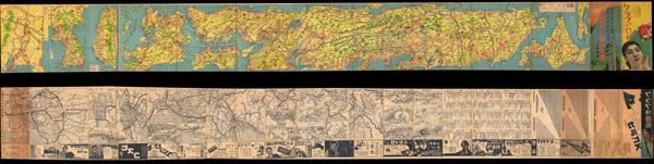
Dai Nippon Teikoku.
sold
- Digital Map Information
- Suitable for large format printing
- File Size: 10.34 MB
- File Type: ZIP / TIFF
- ICC color profile embedded
- Delivered instantly via download link
An extremely attractive 1934 or Showa 9 panoramic map of Dai Nippon Teikoku or the Japanese Empire. This uncommon type of map evolved out of traditional Japanese view-style cartography and began to appear in ... (more details)
Rare panorama of Kumgangsan, Mount Kumgang, or Diamond Mountain, North Korea.
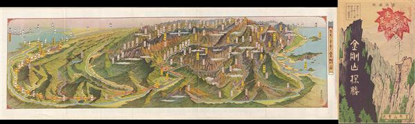
Kumgangsan.
sold
- Digital Map Information
- Suitable for large format printing
- File Size: 6.03 MB
- File Type: ZIP / TIFF
- ICC color profile embedded
- Delivered instantly via download link
An extremely attractive 1939 or Showa 14 panoramic view map of Kumgangsan or Diamond Mountain, North Korea. Also known as Mount Kumgang, Diamond Mountain is an important tourist destination in North Korea. ... (more details)
Possibly the first map to show the 'Circuit of the Penny Post'
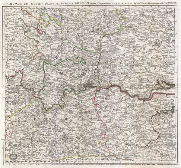
A Map of the Countries Thirty Miles Round London.
sold
- Digital Map Information
- Suitable for large format printing
- DPI: 300
- File Size: 18.68 MB
- File Type: ZIP / TIFF
- ICC color profile embedded
- Delivered instantly via download link
An exceptional example of Thomas Kitchin's 1773 map of the area 30 miles around London. This map was issued to accompany John Norrthouck's 1773 New History of London . Centered on metropolitan London, this ... (more details)