

Johnson’s Vermont, New Hampshire, Massachusetts, Rhode Island, and Connecticut
sold
- Digital Map Information
- Suitable for large format printing
- File Size: 3.02 MB
- File Type: ZIP / TIFF
- ICC color profile embedded
- Delivered instantly via download link
This magnificent 1864 hand colored map of the New England states of Vermont, New Hampshire, Massachusetts, Rhode Island, and Connecticut. Map is dated and copyrighted ... (more details)

A Sketch of the Public Surveys in Wisconsin.
sold
- Digital Map Information
- Suitable for large format printing
- Full resolution TIFF file
- ICC color profile embedded
- Delivered instantly via download link
This magnificent map of Wisconsin was issued in 1848 for the U.S. Land Survey Office. It is officially entitled 'A Sketch of the Public Surveys in Wisconsin.' This ... (more details)

Johnson’s Missouri and Kansas
sold
- Digital Map Information
- Suitable for large format printing
- File Size: 4.65 MB
- File Type: ZIP / TIFF
- ICC color profile embedded
- Delivered instantly via download link
This is Johnson and Ward's 1866 map of Missouri and Kansas. Covers the state divided into counties with special attention to transportation, especially roads, ... (more details)

Johnson’s Map of Pennsylvania Virginia Delaware and Maryland
sold
- Digital Map Information
- Suitable for large format printing
- File Size: 6.01 MB
- File Type: ZIP / TIFF
- ICC color profile embedded
- Delivered instantly via download link
This magnificent 1863 hand colored map of the Middle Atlantic states, including Pennsylvania, Virginia, West Virginia, Delaware and Maryland, was published by ... (more details)

Africa bis zur Eroberung durch die Araber im 7th Jahrhundert.
sold
- Digital Map Information
- Suitable for large format printing
- File Size: 2.15 MB
- File Type: ZIP / TIFF
- ICC color profile embedded
- Delivered instantly via download link
This fascinating hand colored map depicts Africa prior to the Arab invasions and subsequent costal colorizations of the 7th century. Most of South and ... (more details)

Iles Britanniques.
sold
- Digital Map Information
- Suitable for large format printing
- Full resolution TIFF file
- ICC color profile embedded
- Delivered instantly via download link
This hand colored map of the British Isles is a steel plate engraving, dating to 1878 by the well regarded French cartographer Migeon. It includes ... (more details)
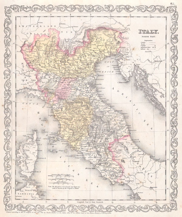
Italy. North Part.
sold
- Digital Map Information
- Suitable for large format printing
- File Size: 3.56 MB
- File Type: ZIP / TIFF
- ICC color profile embedded
- Delivered instantly via download link
This beautiful hand colored map is a lithographic engraving of Northern Italy, dating to 1856, by little known American map publisher Charles ... (more details)
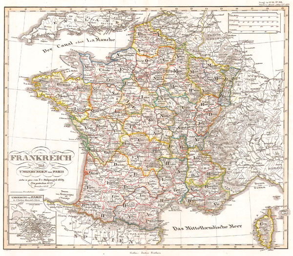
Frankreich und Umgebungen von Paris.
sold
- Digital Map Information
- Suitable for large format printing
- Full resolution TIFF file
- ICC color profile embedded
- Delivered instantly via download link
This fascinating hand colored map depicts the French Empire in 1852. Small inset shows the vicinity of Paris. All text in ... (more details)

Dept/ De Maine et Loire
sold
- Digital Map Information
- Suitable for large format printing
- DPI: 300
- File Size: 9.19 MB
- File Type: ZIP / TIFF
- ICC color profile embedded
- Delivered instantly via download link
This is a fascinating 1847 map of the Department du Lot, France. This region is known for its agriculture, distilled ... (more details)
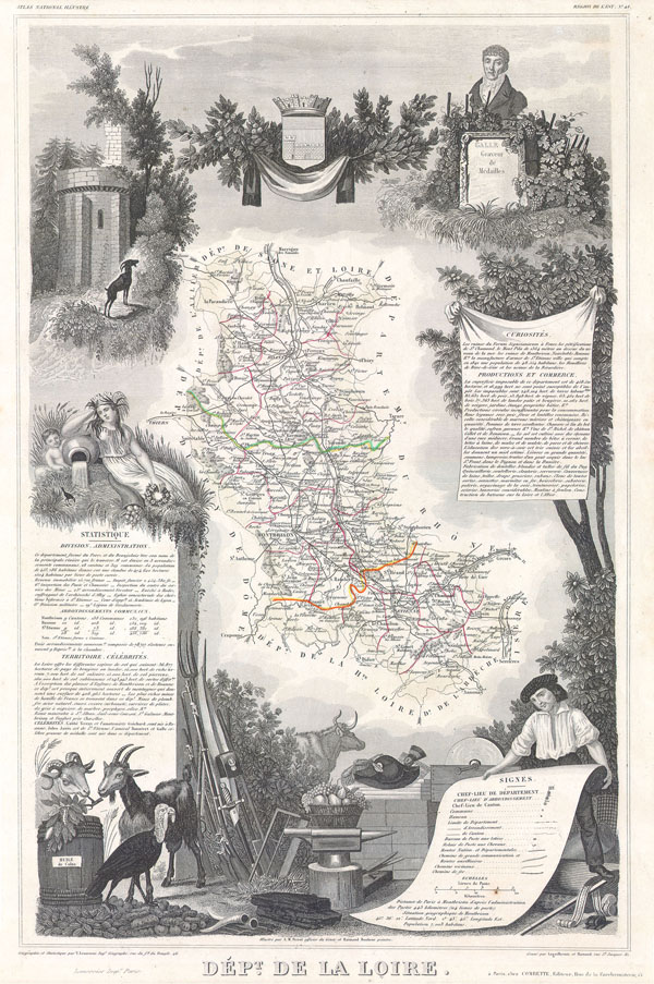
Dept. De La Loire
sold
- Digital Map Information
- Suitable for large format printing
- Full resolution TIFF file
- ICC color profile embedded
- Delivered instantly via download link
This is a fascinating 1847 map of the Department de la Loire, France. This region is known for its Chateaux, ... (more details)

Dept. De L’Indre et Loire.
sold
- Digital Map Information
- Suitable for large format printing
- Full resolution TIFF file
- ICC color profile embedded
- Delivered instantly via download link
This is a fascinating 1847 map of the Department de L'Indre et Loire, France. This region is known for its ... (more details)

Dept. De Maine et Loire
sold
- Digital Map Information
- Suitable for large format printing
- Full resolution TIFF file
- ICC color profile embedded
- Delivered instantly via download link
This is a fascinating 1847 map of the French department of Maine et Loire. This regions is known for its ... (more details)

Dept. De La Charente.
sold
- Digital Map Information
- Suitable for large format printing
- Full resolution TIFF file
- ICC color profile embedded
- Delivered instantly via download link
This is a fascinating 1847 map of the Department de la Charente, France. This region is known for its ... (more details)

India or Hindostan.
sold
- Digital Map Information
- Suitable for large format printing
- File Size: 3.41 MB
- File Type: ZIP / TIFF
- ICC color profile embedded
- Delivered instantly via download link
This hand colored map of India or Hindostan is a steel plate engraving, dating to 1855 by the well ... (more details)

Africa North Western Sheet.
sold
- Digital Map Information
- Suitable for large format printing
- File Size: 4.88 MB
- File Type: ZIP / TIFF
- ICC color profile embedded
- Delivered instantly via download link
A beautiful 1855 first edition example of Colton's map of north western Africa. Covers the ... (more details)

Johnson’s Delaware and Maryland.
sold
- Digital Map Information
- Suitable for large format printing
- File Size: 9.29 MB
- File Type: ZIP / TIFF
- ICC color profile embedded
- Delivered instantly via download link
A fine map of Maryland and Delaware dating to 1863. Features an inset of the Washington ... (more details)

Johnson’s Delaware and Maryland.
sold
- Digital Map Information
- Suitable for large format printing
- File Size: 4.91 MB
- File Type: ZIP / TIFF
- ICC color profile embedded
- Delivered instantly via download link
A fine map of Maryland and Delaware dating to 1861. Along the top of the map, in what ... (more details)
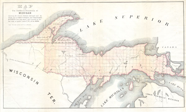
Michigan Upper Peninsula.
sold
- Digital Map Information
- Suitable for large format printing
- Full resolution TIFF file
- ICC color profile embedded
- Delivered instantly via download link
This is in unusual General Land Survey map of the Northern Peninsula of Michigan. ... (more details)
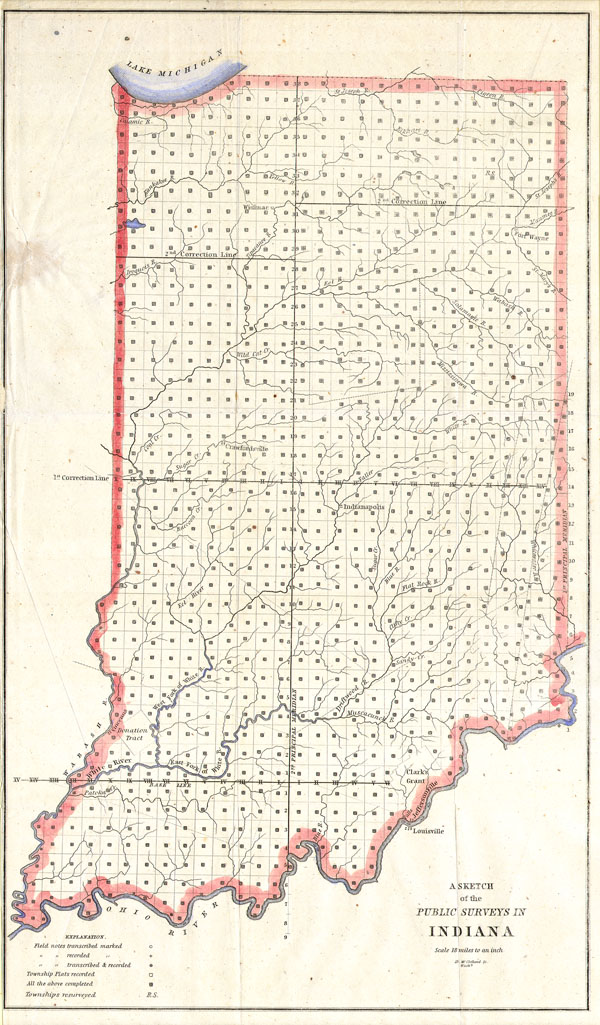
Sketch of the Public Survey’s in Indiana
sold
- Digital Map Information
- Suitable for large format printing
- Full resolution TIFF file
- ICC color profile embedded
- Delivered instantly via download link
This magnificent map of Indiana was issued for the U.S. Land Survey Office under ... (more details)

North America and the United States.
sold
- Digital Map Information
- Suitable for large format printing
- File Size: 3.54 MB
- File Type: ZIP / TIFF
- ICC color profile embedded
- Delivered instantly via download link
This hand colored antique map of North America is a lithographic engraving ... (more details)