

Griechenland und die Ionischen Inseln mit Beachtung der Klassischen Zeit.
sold
- Digital Map Information
- Suitable for large format printing
- DPI: 300
- File Size: 9.39 MB
- File Type: ZIP / TIFF
- ICC color profile embedded
- Delivered instantly via download link
A fascinating example of the 1853 Justus Perthes map of Greece and the Ionian Islands during the Classical Period. The map covers from Corfu to Cerigo, including the Ionian Islands, euboea, the Cyclades, and the Sporades. Two inset maps in the upper right ... (more details)
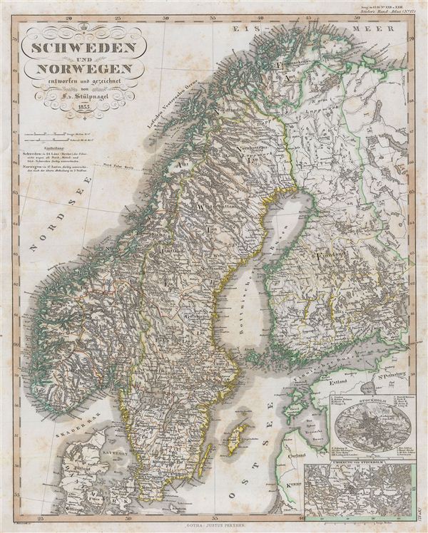
Schweden und Norwegen.
sold
- Digital Map Information
- Suitable for large format printing
- DPI: 300
- File Size: 9.22 MB
- File Type: ZIP / TIFF
- ICC color profile embedded
- Delivered instantly via download link
A fascinating example of the 1853 Perthes map of Sweden and Norway. The map covers from the Arctic Sea south to Denmark and east as far as the Gulf of Finland, including the modern day nations of Sweden, Norway, and parts of adjacent Denmark and Finland. ... (more details)
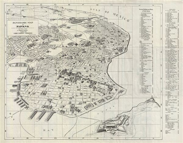
Panoramic Map of Havana. / Plano Panoramico de la Habana.
sold
- Digital Map Information
- Suitable for large format printing
- File Size: 6.14 MB
- File Type: ZIP / TIFF
- ICC color profile embedded
- Delivered instantly via download link
A beautiful 1940 Cuban Tourist Commission first english edition panoramic map of Havana, Cuba. The map covers from Rancho Boyeros to San Pedro. Also includes the La Cabana Fortress and the Morro Castle. A key on the right of the map details various ... (more details)
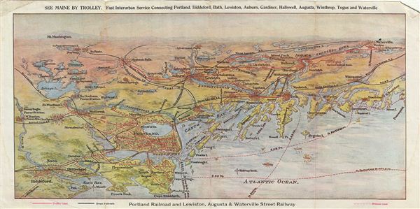
Trolleying through the Heart of Maine.
sold
- Digital Map Information
- Suitable for large format printing
- File Size: 6.23 MB
- File Type: ZIP / TIFF
- ICC color profile embedded
- Delivered instantly via download link
A beautiful c. 1900 example of the panoramic map of Maine showing its trolley lines, steamer lines and steam railroad lines. Issued by the Portland Railroad Company, this map covers from Mt. Washington in the north to Cape elizabeth in the south and ... (more details)
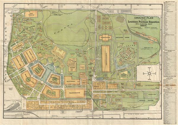
Ground Plan of the Louisiana Purchase Exposition St. Louis, Mo. 1904.
sold
- Digital Map Information
- Suitable for large format printing
- File Size: 11.71 MB
- File Type: ZIP / TIFF
- ICC color profile embedded
- Delivered instantly via download link
A beautiful example of the 1904 official ground plan of the Louisiana Purchase exposition in St. Louis, Missouri. The map covers the exposition grounds from Forest Park to the Suburban R.R. Loop. The right margin features a list of exhibits, state ... (more details)

New York Street Guide and Transportation Directory.
sold
- Digital Map Information
- Suitable for large format printing
- File Size: 8.91 MB
- File Type: ZIP / TIFF
- ICC color profile embedded
- Delivered instantly via download link
An excellent little 1943 street guide map of Manhattan and the Bronx, New York City. The map covers the boroughs of Manhattan and the Bronx. In Manhattan, it covers from Inwood Hill Park south to Battery Park; and in the Bronx, from the Bronx River ... (more details)
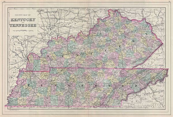
County Map of Kentucky and Tennessee.
sold
- Digital Map Information
- Suitable for large format printing
- File Size: 13.83 MB
- File Type: ZIP / TIFF
- ICC color profile embedded
- Delivered instantly via download link
A fine example of William M. Bradley's 1887 map of Kentucky and Tennessee. The map covers both states in fine detail along with parts of neighboring Missouri, Illinois, Ohio, Virginia. Bradley also delineates survey grids west of the Tennessee ... (more details)
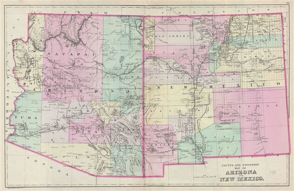
County and Township Map of Arizona and New Mexico.
sold
- Digital Map Information
- Suitable for large format printing
- File Size: 12.07 MB
- File Type: ZIP / TIFF
- ICC color profile embedded
- Delivered instantly via download link
A fine example of William M. Bradley's 1887 map of Arizona and New Mexico. The map covers both Arizona and New Mexico in excellent detail along with parts of neighboring California, Nevada, Utah and Colorado. Bradley further delineates survey ... (more details)
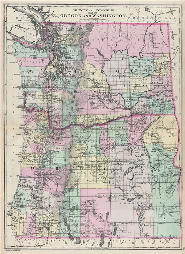
County and Township Map of Oregon and Washington.
sold
- Digital Map Information
- Suitable for large format printing
- File Size: 13.29 MB
- File Type: ZIP / TIFF
- ICC color profile embedded
- Delivered instantly via download link
A fine example of William M. Bradley's 1887 map of Washington and Oregon. The map covers both states in fine detail along with parts of neighboring California, Nevada and Idaho. The map also delineates survey grids referencing the work of the ... (more details)
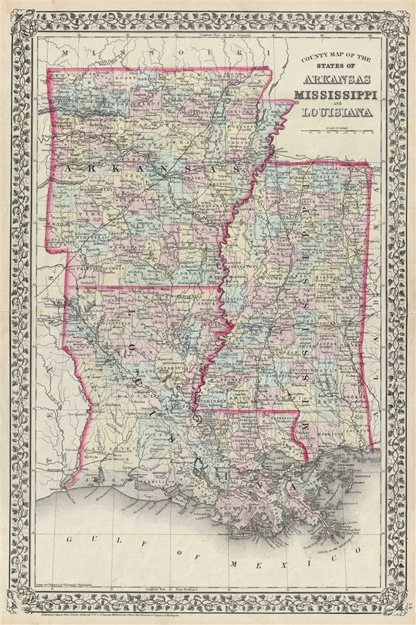
County Map of the States of Arkansas, Mississippi and Louisiana.
sold
- Digital Map Information
- Suitable for large format printing
- File Size: 13.66 MB
- File Type: ZIP / TIFF
- ICC color profile embedded
- Delivered instantly via download link
A beautiful example of the legendary American map publisher Samuel Augustus Mitchell Jr.'s 1872 map of the states of Louisiana, Mississippi and Arkansas. Covers the states of Mississippi, Louisiana and Arkansas in fine detail along with parts ... (more details)

Map of Persia, Turkey in Asia, Afghanistan, Beloochistan.
sold
- Digital Map Information
- Suitable for large format printing
- File Size: 6.48 MB
- File Type: ZIP / TIFF
- ICC color profile embedded
- Delivered instantly via download link
A beautiful example of the American map publisher Samuel Augustus Mitchell Jr.'s 1872 map of Turkey, Persia, Beloochistan and Afghanistan. Covers the modern day nations of Turkey, Iran, Iraq, Syria, Jordan and Afghanistan. Inset in the lower ... (more details)
Shows an independent Tibet.
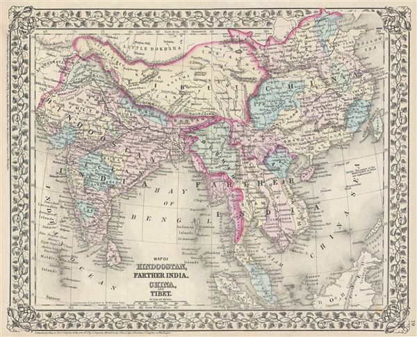
Map of Hindoostan, Farther India, China, and Tibet.
sold
- Digital Map Information
- Suitable for large format printing
- File Size: 7.79 MB
- File Type: ZIP / TIFF
- ICC color profile embedded
- Delivered instantly via download link
A beautiful example of the legendary map publisher Samuel Augustus Mitchell Jr.'s 1872 map of India, Southeast Asia, Tibet and China. Features the entire sub-continent as well as all of Southeast Asia. Includes the modern day nations of ... (more details)

Map of Asia Showing its Gt. Political Divisions, and also the various Routes of Travel between London & India, China & Japan &c.
sold
- Digital Map Information
- Suitable for large format printing
- File Size: 8.11 MB
- File Type: ZIP / TIFF
- ICC color profile embedded
- Delivered instantly via download link
A beautiful example of the legendary American map publisher Samuel Augustus Mitchell Jr.'s 1872 map of Asia. This map covers from the Arabian Peninsula and Turkey eastward as far as Kamchatka, Japan, the Philippines and New Guinea. It ... (more details)
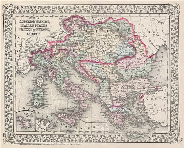
Map of the Austrian Empire, Italian States, Turkey in Europe, and Greece.
sold
- Digital Map Information
- Suitable for large format printing
- File Size: 7.05 MB
- File Type: ZIP / TIFF
- ICC color profile embedded
- Delivered instantly via download link
A beautiful example of the legendary American map publisher Samuel Augustus Mitchell Jr.'s 1872 map of the Austrian empire, Italy, Turkey in europe and Greece. Covers from Bohemia south as far as the Mediterranean Sea. An inset in the ... (more details)

Map of France, Spain and Portugal.
sold
- Digital Map Information
- Suitable for large format printing
- File Size: 8.69 MB
- File Type: ZIP / TIFF
- ICC color profile embedded
- Delivered instantly via download link
A beautiful example of the American map publisher Samuel Augustus Mitchell Jr.'s 1872 map of France, Spain and Portugal, as well as the Balearic Islands of Ibiza, Majorca, and Minorca. An inset in the upper left quadrant focuses on ... (more details)

Ireland in Provinces and Counties. County map of Scotland.
sold
- Digital Map Information
- Suitable for large format printing
- File Size: 7.4 MB
- File Type: ZIP / TIFF
- ICC color profile embedded
- Delivered instantly via download link
A beautiful example of the American map publisher Samuel Augustus Mitchell Jr.'s 1872 map of Scotland and Ireland. This two part map details all of Scotland and Ireland with an inset map of the Shetland Islands. Covers Scotland in ... (more details)

Map of Europe, Showing its Gt. Political Divisions.
sold
- Digital Map Information
- Suitable for large format printing
- File Size: 7.66 MB
- File Type: ZIP / TIFF
- ICC color profile embedded
- Delivered instantly via download link
A beautiful example of the American map publisher Samuel Augustus Mitchell Jr.'s 1872 map of europe. Depicts all of europe including Iceland. The map incorporates both political and geographical details. Of note is Mitchell's ... (more details)
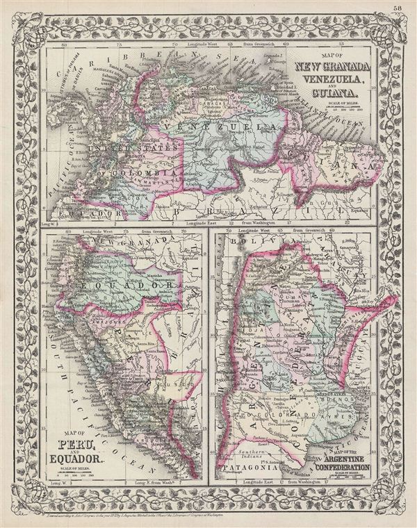
Map of New Granada, Venezuela and Guiana. Map of Peru, and Equador. Map of the Argentine Confederation.
sold
- Digital Map Information
- Suitable for large format printing
- File Size: 7.86 MB
- File Type: ZIP / TIFF
- ICC color profile embedded
- Delivered instantly via download link
A beautiful example of the American map publisher Samuel Augustus Mitchell Jr.'s 1872 three map sheet depicting parts of South America. The first map shows New Granada (Columbia), Venezuela and Guiana. The second map, in the ... (more details)

County map of the state of Pennsylvania.
sold
- Digital Map Information
- Suitable for large format printing
- File Size: 7.71 MB
- File Type: ZIP / TIFF
- ICC color profile embedded
- Delivered instantly via download link
A beautiful example of the legendary American map publisher Samuel Augustus Mitchell Jr.'s 1872 map of the state of Pennsylvania. The map covers the state of Pennsylvania from Lake erie eastward to New Jersey as well as ... (more details)
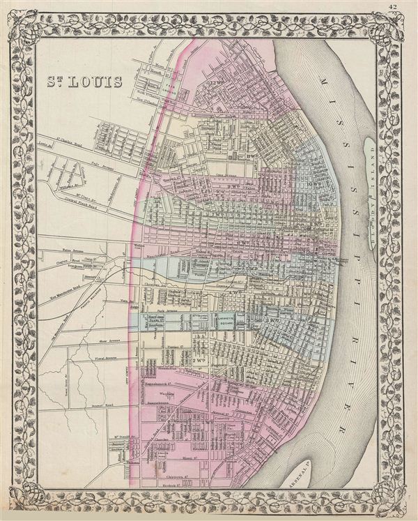
St. Louis.
sold
- Digital Map Information
- Suitable for large format printing
- File Size: 6.92 MB
- File Type: ZIP / TIFF
- ICC color profile embedded
- Delivered instantly via download link
A beautiful example of the legendary American map publisher Samuel Augustus Mitchell Jr.'s 1872 map or plan of the city of St. Louis, Missouri. The map covers the city from Taylor Avenue outside city limits to the ... (more details)