
CartoCuriosity - World War II Route Maps
CartoCuriosity - World War II Route Maps
World War II, mapped by the soldiers who lived it.
World War II route maps offer an extraordinary view of the conflict through the eyes of the soldiers who fought it. Created by military artists, engineers, draftsmen, and infantrymen, these rare pictorial maps trace individual units across the battlefields of Europe, recording campaigns, river crossings, command posts, engineering works, and moments of humor amid the devastation of war. Produced in small numbers as commemorative keepsakes rather than official military documents, they combine cartographic precision, firsthand testimony, illustration, and personal memory. The Geographicus WWII Route Map Archive preserves this overlooked category of wartime cartography - maps made by soldiers, for soldiers, as enduring visual records of service, survival, and shared experience.
Featuring Spencer Hunt from Geographicus Rare Antique Maps
Produced by Cory Choy, Tom Fama, and Christian Cuciniello
Music by Luke Allen and El Buru. Sound by Silver Sound
2026-09-01
A Closer Look at the Maps
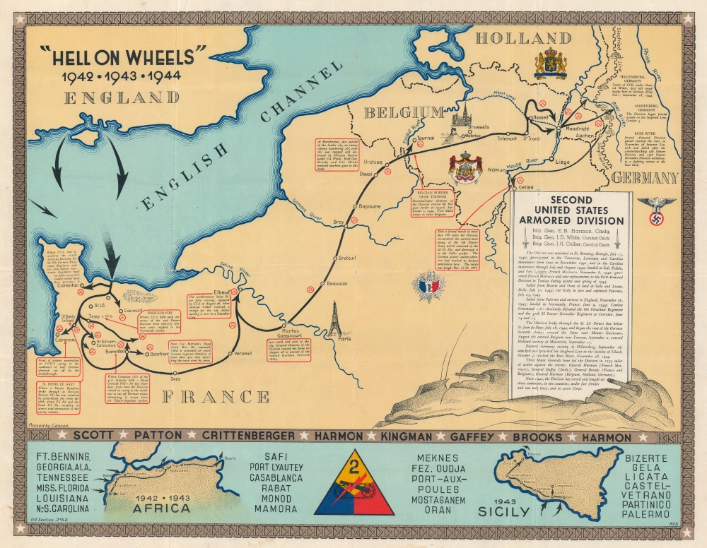
One of the few route maps published during rather than after WWII.
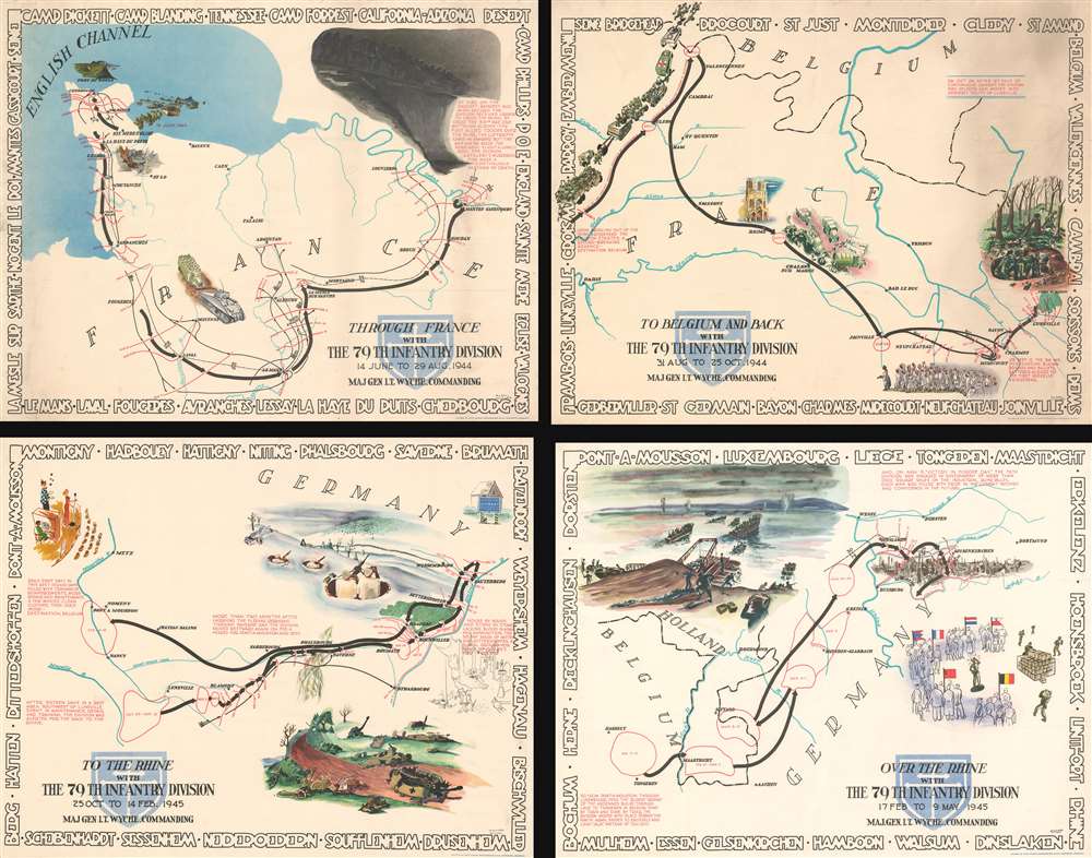
A complete set of 79th Infantry Division route maps from World War II—maps created by the soldiers for the soldiers.
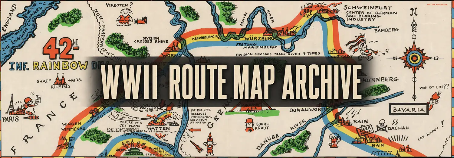
Personal cartography from the front lines
In this episode of CartoCuriosity, Spencer Hunt of Geographicus Rare Antique Maps explores a remarkable and under-documented category of wartime material: route maps created by soldiers themselves.
A Personal Connection to History
Spencer Hunt’s interest in World War II began early—initially through aviation and engineering, and eventually expanding into the broader complexity of the conflict.
Like many historians, his path was not obvious at first.
Nobody tells you in high school that you should become an antique map dealer.
Today, as part of the Geographicus team, his work combines research, storytelling, and direct engagement with historical artifacts.
What Are Route Maps?
World War II route maps are documents created by military units tracing their movements throughout the war.
These maps vary widely in complexity:
- Simple lines showing unit movement across Europe
- Detailed operational records marking command posts and engagements
- Engineering logs documenting bridges, infrastructure, and logistics
Some include astonishing detail, listing:
- Bridge construction sites
- Units responsible for the work
- Dates and specifications
- Precise geographic locations
These are not official publications. They are something far more personal.
Maps Made by Soldiers, for Soldiers
Unlike standard military maps, route maps were typically created at the end of the war—often in Europe, just before soldiers returned home.
They were:
- Privately produced
- Printed in small numbers
- Distributed within the unit
In many cases, they resemble yearbooks.
Soldiers signed them, added their hometowns, and preserved them as keepsakes—a record of shared experience during one of the most intense periods of their lives.
The Artists Behind the Maps
Many of the individuals tasked with creating these maps had artistic backgrounds.
Before the war, they worked in fields such as:
- Advertising
- Illustration
- Commercial printing
During the war, the military recognized these skills and assigned them to cartographic units.
Afterward, their creativity found expression in these deeply personal and often visually striking maps, blending technical accuracy with humor, caricature, and narrative detail.
A Case Study: The 115th Engineer Combat Group
One particularly remarkable example comes from the 115th Engineer Combat Group.
This set consists of six large sheets:
- Five sheets mapping the unit’s movement across Europe
- One index sheet detailing locations and engineering works
The route extends from the Cotentin Peninsula in France all the way to Berlin.
The maps are richly illustrated, combining:
- Cartographic precision
- Cartoon elements
- Extensive operational detail
They were created by John Anthony LeDonne, a Pittsburgh-based draftsman who worked for the A. H. Matthias Blue Printing Company before being drafted in 1943.
After serving as an engineer throughout the war, LeDonne was discharged in January 1946.
Like many veterans, his postwar life remains difficult to trace—a reminder of how easily these personal histories can fade.
Rediscovery and Preservation
Today, these maps are often discovered in attics, trunks, and family collections—passed down through generations but rarely studied.
As veterans pass away, these materials are increasingly entering the market, frequently without context or documentation.
Recognizing their significance, Spencer began assembling a collection of these route maps.
The project ultimately resulted in a collection of approximately 120 examples, now housed in a university archive and likely representing the most comprehensive collection of its kind.
Commemoration, Not Instruction
These maps were not created for training or strategic planning.
They were created for remembrance.
We survived something extraordinary—and this is the record of it.
They capture not only movement across geography, but also the lived experiences of the soldiers who made them.
The Role of the “Gentleman Historian”
In studying and preserving these maps, Spencer reflects on his role outside traditional academia.
Although not formally a historian in the academic sense, his work embodies the same principles: research, analysis, and storytelling.
As one colleague put it:
A gentleman historian.
It is a fitting description for those who uncover and interpret history beyond institutional walls.
Why These Maps Matter
World War II route maps represent a unique fusion of:
- Cartography
- Memory
- Art
- Personal narrative
They remind us that history is recorded not only in official documents, but also in the personal artifacts created by those who lived it.
Featuring Spencer Hunt, Geographicus Rare Antique Maps.
Produced by Cory Choy, Christian Cucinello, and Tom Fama.
Music by L. Budu and Luke Allen. Sound by Silver Sound.