
Besançon, J.P. (sold)

J.P. Besançon (fl. c. 1798 - 1835) was a French engraver who specialized in lettering. Besançon began engraving nautical charts for Charles-François Beautemps-Beaupré (August 6, 1766 - March 16, 1854) in 1802. He engraved 83 maps for Beautemps-Beaupré, then the hydrographer in chief, between 1802 and 1831, when he handed off the work to J.M. Hacq. Little else is known about Besançon's life and career.
Most trafficked and contested part of the West Indies.
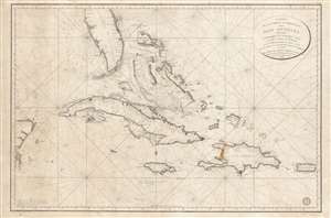
Carte de la Partie Occidentale des Îles Antilles Comprenant St. Domingue, La Jamaique, Cuba et Îles et Bancs de Bahama avec les Débouqumens de toutes ces Îles Dressée d'apres les nouvelles Observations des Espagnols et Publiée Par Ordre du Xontre-Amiral Decrès Ministre de la Marine et des Colonies au Dépôt général de la Marine, en 1801.
sold
- Digital Map Information
- Suitable for large format printing
- DPI: 600
- File Size: 39.35 MB
- File Type: ZIP / TIFF
- ICC color profile embedded
- Delivered instantly via download link
A scarce and elegantly engraved 1801 nautical map of Florida and the Greater Antilles, including Cuba, the Bahamas, Santo Domingo, Puerto Rico, and Jamaica, issued by the official French hydrographic office, the Dépôt de Marine. The map covers from the eastern Yucatan to Puerto Rico and from just north of Cape Canaveral, Florida, to the banks south of Jamaica - thus embracing the most heavily trafficked and contested waters in the West Indies. (more details)
First accurate triangulation of the Faroes.
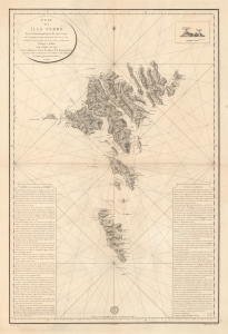
Plan des íles Ferøë Levé Géométriquement de 1790 à 1795...
sold
- Digital Map Information
- Suitable for large format printing
- DPI: 600
- File Size: 76.51 MB
- File Type: ZIP / TIFF
- ICC color profile embedded
- Delivered instantly via download link
This large and striking map is the 1820 French Dépôt des Cartes edition of the seminal 1806 Born survey of the Faroe Islands. This is the first map of the Faroes based on actual triangulation. Although formatted as a nautical chart, the map has little hydrographic detail, with the focus instead being on land-side topography and coastal settlements. (more details)
Renewed French imperialist interest in the Americas.
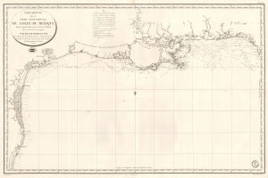
Carte Réduite de la Partie Septentrionale du Golfe du Mexique Depuis Laguna Madre jusqu'à la Côte de la Floride.
sold
- Digital Map Information
- Suitable for large format printing
- Full resolution TIFF file
- ICC color profile embedded
- Delivered instantly via download link
This is an 1826 French Dépôt de la Marine nautical chart or maritime map of the Gulf Coast. The publication of this map for French audiences reflects renewed and growing imperial interest in the New World on the part of France. (more details)