
Bourquin, Frederick (sold)
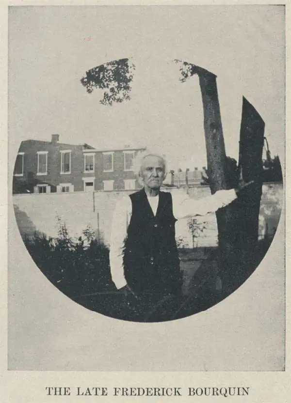
Frederick Bourquin (1808 - 1897), also spelled Bourgin, was a Swiss American engraver and lithographer active in Philadelphia in the mid- to late-19th century. Bourquin was born in Bern, Switzerland, and emigrated to the United States in 1817 accompanied by his brother, Charles F. Bourquin, also an engraver. They lived briefly in Bucks County, Pennsylvania, and New York City, before relocating to Philadelphia in 1829 to join the lithographic firm of Kennedy and Lucas. Bourquin was naturalized as a U.S. citizen in 1834. From 1842 the brothers worked for Peter Stephen Duval (1804/5 - 1886) at 'P. S. Duval and Co.' They became partners in the firm in 1857. In 1858, Frederick left Duval to partner with Robert Pearsall Smith (1827 - 1898), one of the lead publishers in the Philadelphia-based county map and state atlas industry, publishing as 'F. Bourquin and Company' (602 Chestnut Street). Smith completely and inexplicably retired from publishing around 1865, leaving the business to Bourquin. Subsequently Bourquin shared premises and often published with William Bracher's (1829 - 1912) firm, 'Worley and Bracher'. In the mid-1850s Bourquin relocated to Camden, New Jersey, where he served on the City Council from the 1870s - 1880s and in the New Jersey State legislature in 1872. His sons, Frederick Bourquin, Jr., Gordon M. Bourquin, David L. Bourquin, and Charles L. Bourquin, were all, to a greater or lesser extent, involved in the lithographic and/or printing business.
Toll roads, plank roads, and railroads.
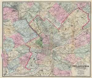
Barnes' Driving Map of Philadelphia and Surroundings.
sold
- Digital Map Information
- Suitable for large format printing
- Full resolution TIFF file
- ICC color profile embedded
- Delivered instantly via download link
This 1874 John L. Smith map of Philadelphia presents a detailed picture of the city and vicinity, covering from Media and King of Prussia east to Delanco and Riverside and from Norristown south to the Delaware River. Philadelphia's streets are illustrated and labeled, and its city squares identified. Outside Philadelphia, many towns are illustrated with street grids. Individual homes are labeled by last name throughout. (more details)
A rare city plan of Farmington, Maine.
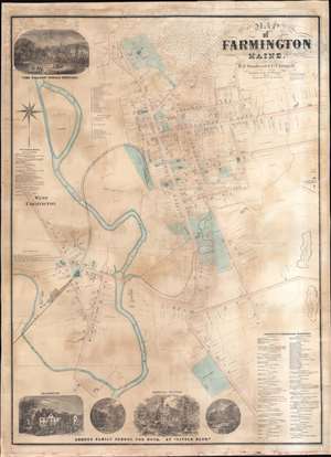
Map of Farmington Maine.
sold
- Digital Map Information
- Suitable for large format printing
- Full resolution TIFF file
- ICC color profile embedded
- Delivered instantly via download link
This is an 1874 E.F. Sanford and C.T. Leggett city plan or map of Farmington, Maine. Created by soliciting subscriptions from the town's businesspeople and residents, the map depicts from the Willows Female Seminary to S. Norton's house south of the cemetery on Main Street and from the railroad shops in West Farmington to the slate quarries east of town. Houses throughout town are illustrated and identified by the owner's name and the lots are delineated. Schools (including the State Normal School), churches, and offices are labeled throughout town as well. Other illustrated locations around town include the railroad depot (serviced by the Androscoggin Division of the Maine Central Railroad), the sweet corn factory, the brick yard, the cattle yards, S.R. Leland's Apple Orchard, and the H.R. Butterfield shovel handle factory. References for thirty-five numerically identified locations along Main Street and Broadway in Farmington occupy a space in the upper left quadrant. A directory for West Farmington appears along the left border. A view of the Willows Female Seminary occupies the upper left corner. A series of four views along the bottom border highlight different scenes associated with the Abbott Family School for Boys. (more details)
Best and largest map of Mount Desert Island at the height of its Gilded Age.
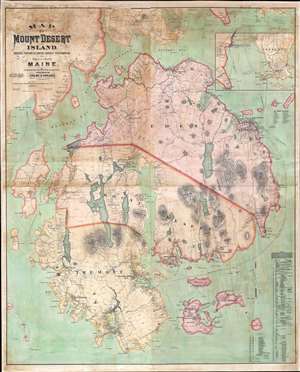
Map of Mount Desert Island, Sorrento, Portions of Lamoine, Hancock, and Frenchman's Bay, and Adjacent Islands, Maine.
sold
- Digital Map Information
- Suitable for large format printing
- File Size: 146.81 MB
- File Type: ZIP / TIFF
- ICC color profile embedded
- Delivered instantly via download link
The largest, rarest, and most important map of Mount Desert Island, Maine, to appear in the 19th century. Published by Colby and Stuart in 1887, this wall map captures Mount Desert Island and Bar Harbor at the height of its gilded age, when it rivaled Newport as a haven for the moneyed elite. The map embraces the island in exceptional detail, showing topography and roads, as well as property lots, the named estates of the wealthy, grand hotels, lodges, restaurants, and more. Today, most of Mount Desert Island is part of Acadia National Park, one of America's most beloved and beautiful national parks. (more details)