
Jean Baptiste Marius Augustin Challamel (sold)
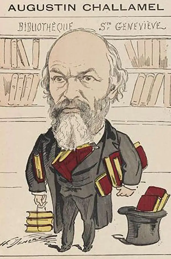
Jean Baptiste Marius Augustin Challamel (March 18, 1818 - October 20, 1894) was a French historian, editor, and publisher active in Paris in the mid to late 19th century. Challamel is best known as a historian. Even so, although prolific, his personal work more often falls into pop-history and has little originality or merit. More significantly, Challamel also founded Challamel et Cie., a publishing house at 5 Rue Jacob. From this location, Challamel published extensively for French colonial interests in Africa, Asia, Indochina, and Polynesia. His work includes some of the most significant works documenting late 19th century French scientific discoveries, navigation, cartography, and scholarship. He held the contract for official French colonial office printings, including for the Bureau Topographique and the Service Geographique. Although Challamel died in 1894, his firm continued to operate until the 1920s. His heirs, operating under the same name, moved tore 17 Rue Jacob and renamed their firm Librairie Maritime et Coloniale, Augustin Challamel, Editeur.
Laying the groundwork for the French takeover of Cambodia.
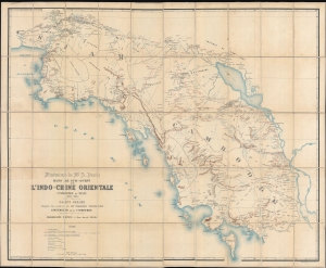
Itinéraires de Mr. A. Pavie dans le sud-ouest de L'Indo-Chine Orientale (Cambodge et Siam) (1880 - 1884).
sold
- Digital Map Information
- Suitable for large format printing
- File Size: 239.01 MB
- File Type: ZIP / TIFF
- ICC color profile embedded
- Delivered instantly via download link
Considered the first scientific survey of Cambodia and southeastern Thailand, this seminal map was published following the 1884 completion of the first and most controversial Mission Pavie (1879 - 1885). Pavie's exploration, mapping, construction of telegraph lines, and successful negotiations with Rama V of Siam, laid the groundwork for the French colonial takeover of Cambodia. The present example is the explorer Auguste Jean-Marie Pavie's own copy. (more details)
First scientific map of Laos.
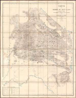
Carte de al Région du Haut Laos Explorée en 1888-1889 par les Membres e a Comission d'Etude des Frontieres entre L'Annam et le Siam.
sold
- Digital Map Information
- Suitable for large format printing
- Full resolution TIFF file
- ICC color profile embedded
- Delivered instantly via download link
Considered the first scientific survey of Laos, this seminal map was published immediately following the 1889 completion of the second Mission Pavie - the expedition that laid the groundwork for the French Protectorate in Laos. The map is signed by its creator, Auguste Jean-Marie Pavie, and dedicated to 'Monsieur Piquet', referring to Georges Jules Piquet (1839 - 1923), Gouverneur Général of French Indochina from 1888 - 1889, under whose auspices the Second Mission Pavie was undertaken. It further features manuscript content by another mission participant, Victor-Alphonse Massie (1854 - 1892), recommending the placement of a border watch post. The map further notes, in manuscript, Nam Youm (Laos), where the White Tai bandit leader Đèo Văn Trị, was then active. This map is significant on many levels: first as the result of one of the most extraordinary missions of exploration undertaken in Southeast Asia; second, as the first scientific survey of what is today northern Laos; third; as the underpinning of subsequent French Protectorate in Laos; fourth, as the personal copy owned by the Gouverneur Général of French Indochina who ordered the 2nd Mission Pavie. (more details)
Colonial Wars, Gold Mining, and Political Intrigue!
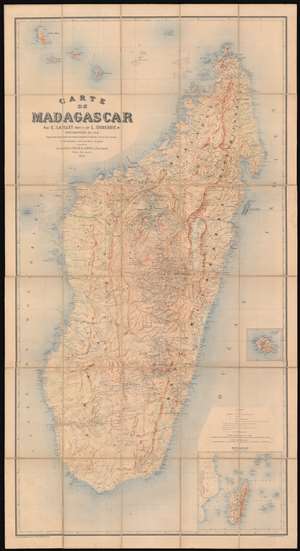
Carte de Madagascar.
sold
- Digital Map Information
- Suitable for large format printing
- Full resolution TIFF file
- ICC color profile embedded
- Delivered instantly via download link
This large, magnificently detailed, and rare map of Madagascar is the first modern, scientific survey of the island. This map is significant not only for its groundbreaking cartography, but also for its support of insights into the complex and often conflicting loyalties and motivations that unpinned colonial life: loyalties to self, to company, to countryman, to nation, and to the adopted nation. (more details)