
Clerot, Victor (sold)

Victor Clérot (fl. 1855 - 1890) was a Paris based geographer and publisher active in the latter half of the 19th century. As with most small volume French map publishers of this period there is very little available information regarding Clérot. We know he published several maps of Paris, a world map, some timelines, and a number of guidebooks, but little else. His offices were located at 23 Quai Malaquais in Paris's 6th Arrondissement.
History in the flow of time.
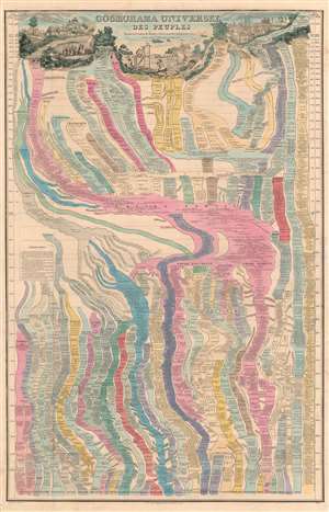
Cosmorama Universel des Peuples depuis la Création du Monde, et leurs Marches jusqu'à nos jour.
sold
- Digital Map Information
- Suitable for large format printing
- DPI: 600
- File Size: 68.45 MB
- File Type: ZIP / TIFF
- ICC color profile embedded
- Delivered instantly via download link
A marvelously complex c. 1852 universal timeline chart by the French cartographer Victor Clérot. The chart traces human history from creation, roughly, to the founding of the Roman Empire. The cartographer follows the Usher Chronology, placing the date of Creation at 4004 BC with the Biblical Deluge at about 2300 BC. The chart then proceeds to break down history in 100-year increments. After 3984 years, Jesus Christ is born, and standard BC/AD dating system is adopted to 1800. (more details)
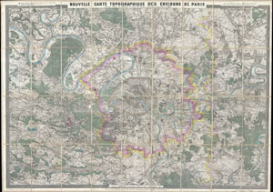
Nouvelle Carte Topographique des Environs de Paris.
sold
- Digital Map Information
- Suitable for large format printing
- File Size: 70.4 MB
- File Type: ZIP / TIFF
- ICC color profile embedded
- Delivered instantly via download link
Issued in 1880 by Victor Clerot, this is one of the largest and most strikingly beautiful 19th century folding maps of Paris we have ever encountered. Details the greater Paris vicinity from the Bois de Marechaux in the southwest, Evesquemont in the northwest, ... (more details)