
Conder, Thomas

Thomas Conder (1747 - June 1831) was an English map engraver and bookseller active in London during the late 17th and early 18th centuries. From his shop at 30 Bucklersbury, London, Conder produced a large corpus of maps and charts, usually in conjunction with other publishers of his day, including Wilkinson, Moore, Kitchin, and Walpole. Unfortunately few biographical facts regarding Conder's life have survived. Thomas Conder was succeeded by his son Josiah Conder who, despite being severely blinded by smallpox, followed in his father's footsteps as a bookseller and author of some renown.
A British officer's experience of the American Revolution.
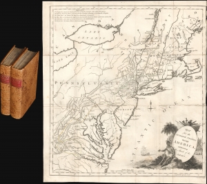
Map for the Interior Travels through America delineating the March of the Army. / Travels through the interior parts of America. In a series of letters. By an officer.
$3,000.00
Acquire
- Digital Map Information
- Suitable for large format printing
- File Size: 9.95 MB
- File Type: ZIP / TIFF
- ICC color profile embedded
- Delivered instantly via download link
A fine example of Thomas Conder's 1789 map of the American colonies and the accompanying 2-volume Thomas Anburey travelogue. The fascinating work, Travels Through the Interior Parts of America. In a Series of Letters. By an Officer, records Anburey's travels in Canada and the former British Colonies in North America. (more details)
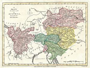
A Map of the Circle of Austria, Drawn from the Best Authorities.
$150.00
Acquire
- Digital Map Information
- Suitable for large format printing
- Full resolution TIFF file
- ICC color profile embedded
- Delivered instantly via download link
This fine 1791 map by Robert Wilkinson details the Counties and Duchies of Austria. It covers from Lake of Constance eastward to Hungary and south as far as the Adriatic Sea. The map includes Vienna, the traditional seat of the House of Habsburg and, usually, the ... (more details)
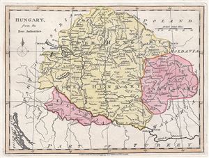
Hungary, from the Best Authorities.
$150.00
Acquire
- Digital Map Information
- Suitable for large format printing
- Full resolution TIFF file
- ICC color profile embedded
- Delivered instantly via download link
This is a finely detailed 1791 map of Hungary and Transylvania, by Robert Wilkinson. It covers modern day Hungary, Slovakia and Romania. It offers stupendous detail noting post roads, towns, castles, monasteries, forests, swamps, rivers, cities and mountains with ... (more details)
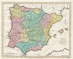
A Map of Spain and Portugal, Drawn from the Best Authorities.
$150.00
Acquire
- Digital Map Information
- Suitable for large format printing
- Full resolution TIFF file
- ICC color profile embedded
- Delivered instantly via download link
This is a fine 1791 map of Spain and Portugal by Robert Wilkinson. It shows the provinces as they appeared at this time, including the islands of Majorca, Minorca, and Ibiza (Ivica). The most prominent provinces are New and Old Castile, at the center of the map. ... (more details)
The beauty and horrors of the New World.
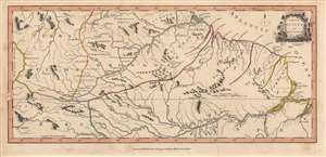
A Map of Guiana etc.
$850.00
Acquire
- Digital Map Information
- Suitable for large format printing
- DPI: 600
- File Size: 20.22 MB
- File Type: ZIP / TIFF
- ICC color profile embedded
- Delivered instantly via download link
This is a significant 1793 map of Guiana by John Gabriel Stedman and Thomas Conder, published to accompany Stedman's The Narrative of a Five Years Expedition against the Revolted Negroes of Surinam. Although parts of this region were claimed by European powers and Europeans resided near the coast, trading and managing plantations, the geography, climate, and peoples of the interior were poorly understood when this map was published. (more details)
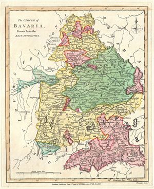
The Circle of Bavaria, Drawn from the Best Authorities.
$150.00
Acquire
- Digital Map Information
- Suitable for large format printing
- Full resolution TIFF file
- ICC color profile embedded
- Delivered instantly via download link
This is a scarce 1793 map of Bavaria, Germany, by Robert Wilkinson. It covers the Circle of Bavaria from Waldsassen south to Austria and from Augsburg east as far as Passau. It notes numerous towns, rivers, cities, mountains, forests and other topographical ... (more details)
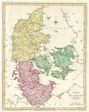
A New Map of Denmark from the Best Authorities.
$175.00
Acquire
- Digital Map Information
- Suitable for large format printing
- Full resolution TIFF file
- ICC color profile embedded
- Delivered instantly via download link
This is a finely detailed 1793 map of Denmark and Holstein, by Robert Wilkinson. It covers all of Denmark including the Duchy of Holstein. Denmark prospered greatly in the last decades of the 18th century because its neutral status allowed it to trade with ... (more details)
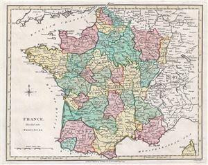
France, Divided into Provinces.
$150.00
Acquire
- Digital Map Information
- Suitable for large format printing
- Full resolution TIFF file
- ICC color profile embedded
- Delivered instantly via download link
This is Robert Wilkinson's finely detailed 1793 map of France divided into provinces. France was organized into provinces until March 4, 1790, when the National Constituent Assembly reorganized the Provinces into Departments. The change was an attempt to ... (more details)
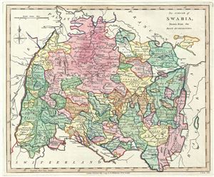
The Circle of Swabia, Drawn from the Best Authorities.
$150.00
Acquire
- Digital Map Information
- Suitable for large format printing
- Full resolution TIFF file
- ICC color profile embedded
- Delivered instantly via download link
This is a beautifully detailed 1792 map of Swabia, Germany by Robert Wilkinson. It cover the region from Mannheim south to Oberstdorf and from the Rhine east as far as Augsburg. The map notes several important towns and cities, rivers, mountains and ... (more details)
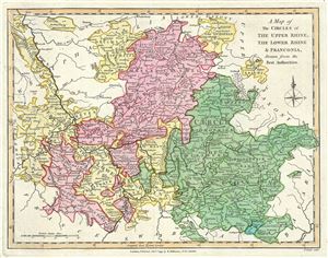
A Map of the Circles of The Upper Rhine, The Lower Rhine and Franconia, Drawn from the Best Authorities.
$150.00
Acquire
- Digital Map Information
- Suitable for large format printing
- Full resolution TIFF file
- ICC color profile embedded
- Delivered instantly via download link
This is a beautifully detailed 1793 map of the Upper and Lower Rhine and Franconia regions of Germany, by Robert Wilkinson, a year before the Napoleonic invasion. The map covers the regions bordered by Westphalia and Lower Saxony to the north, Upper ... (more details)
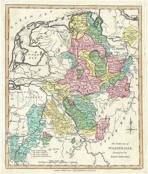
The Circle of Westphalia, Drawn from the Latest Authorities.
$150.00
Acquire
- Digital Map Information
- Suitable for large format printing
- Full resolution TIFF file
- ICC color profile embedded
- Delivered instantly via download link
A finely detailed 1793 map of Westphalia by Robert Wilkinson. While the name 'Westphalia' is used for several different overlapping areas in central to western Germany, this map shows the area from the North Sea and the Netherlands in the upper ... (more details)
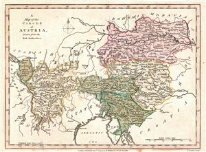
A Map of the Circle of Austria, Drawn from the Best Authorities.
$150.00
Acquire
- Digital Map Information
- Suitable for large format printing
- DPI: 300
- File Size: 2.56 MB
- File Type: ZIP / TIFF
- ICC color profile embedded
- Delivered instantly via download link
This fine first edition 1794 map by Robert Wilkinson details the Counties and Duchies of Austria. The map includes Vienna, the traditional seat of the House of Habsburg and, usually, the Holy Roman emperor. The 'circle' in the map's title ... (more details)
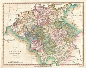
A New Map of Germany, divided into Circles, from the Best Authorities.
$150.00
Acquire
- Digital Map Information
- Suitable for large format printing
- DPI: 300
- File Size: 3.37 MB
- File Type: ZIP / TIFF
- ICC color profile embedded
- Delivered instantly via download link
A finely detailed first edition 1794 map of Germany by Robert Wilkinson. The map covers all of modern day Germany and Austria, and divides the area into the imperial circles devised by the Holy Roman empire to administer, tax, and defend ... (more details)
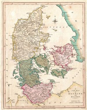
A New Map of Denmark and Holstein.
$175.00
Acquire
- Digital Map Information
- Suitable for large format printing
- DPI: 300
- File Size: 3.39 MB
- File Type: ZIP / TIFF
- ICC color profile embedded
- Delivered instantly via download link
A finely detailed first edition 1794 map of Denmark and Holstein, by Robert Wilkinson. Denmark prospered greatly in the last decades of the 18th century because its neutral status allowed it to trade with both sides in the many ... (more details)
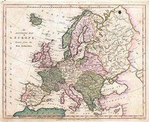
An Accurate Map of Europe, Drawn from the Best Authorities.
$175.00
Acquire
- Digital Map Information
- Suitable for large format printing
- DPI: 300
- File Size: 3.61 MB
- File Type: ZIP / TIFF
- ICC color profile embedded
- Delivered instantly via download link
Robert Wilkinson's finely detailed first edition 1794 map of europe. This map depicts europe in the second year of the French Revolutionary Wars, which would soon sweep over much of western europe ushering in the Napoleonic ... (more details)
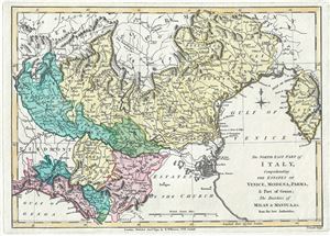
The North East Part of Italy, comprehending The Estates of Venice, Modena, Parma, and Part of Genoa; The Duchies of Milan and Mintua, etc. From the best Authorities.
$200.00
Acquire
- Digital Map Information
- Suitable for large format printing
- Full resolution TIFF file
- ICC color profile embedded
- Delivered instantly via download link
This is a finely detailed 1794 map of northeastern Italy and the Venetian States by Robert Wilkinson. Wilkinson's map covers from the Duchy of Milan to the Gulf of Venice and from Tyrol to the Gulf of Genoa, inclusive of ... (more details)
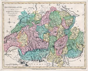
Switzerland with its Subjects and Allies Drawn from the Best Authorities.
$150.00
Acquire
- Digital Map Information
- Suitable for large format printing
- Full resolution TIFF file
- ICC color profile embedded
- Delivered instantly via download link
This is Robert Wilkinson's beautiful 1794 map of Switzerland. It covers the entirety of Switzerland divided into Cantons. With its unique blend of dramatic mountains and stunning vistas, Switzerland is considered to be ... (more details)
Mountainous Switzerland.
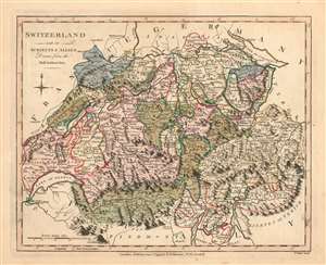
Switzerland with its Subjects and Allies Drawn from the Best Authorities.
$175.00
Acquire
- Digital Map Information
- Suitable for large format printing
- Full resolution TIFF file
- ICC color profile embedded
- Delivered instantly via download link
This is Robert Wilkinson's lovely, first edition 1794 map of Switzerland. The map shows the country and its neighbors on the eve of Napoleonic invasion of 1798. The French tried to centralize authority in Switzerland by forming the Helvetic Republic (1798 – 1803). Until then, the area consisted of independent cantons united by a loose military alliance. Facing widespread resistance, the Republic would last only five years. The exquisite, pictorially-rendered Alps and fine coloring make this the most attractive European maps in Wilkinson's atlas. (more details)
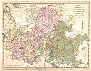
A Map of the Circles of The Upper Rhine, The Lower Rhine, & Franconia, Drawn from the Best Authorities.
$150.00
Acquire
- Digital Map Information
- Suitable for large format printing
- DPI: 300
- File Size: 3.89 MB
- File Type: ZIP / TIFF
- ICC color profile embedded
- Delivered instantly via download link
A finely detailed first edition 1794 map of the Upper and Lower Rhine and Franconia regions of Germany, by Robert Wilkinson, on the eve of the Napoleonic invasion. The map covers the regions bordered by Westphalia and ... (more details)
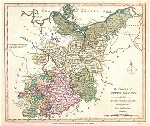
The Circle of Upper Saxony, with the Marquistate of Lusatia, drawn from the Best Authorities.
$150.00
Acquire
- Digital Map Information
- Suitable for large format printing
- DPI: 300
- File Size: 2.61 MB
- File Type: ZIP / TIFF
- ICC color profile embedded
- Delivered instantly via download link
A finely detailed first edition 1794 map of Upper Saxony, in what is now Mitteldeutschland, by Robert Wilkinson. In 1180 Duke Henry the Lion fell, and the medieval Duchy of Saxony dissolved. The Saxe-Wittenberg lands ... (more details)
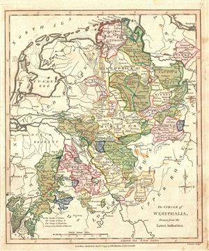
The Circle of Westphalia, Drawn from the Latest Authorities.
$150.00
Acquire
- Digital Map Information
- Suitable for large format printing
- DPI: 300
- File Size: 3.48 MB
- File Type: ZIP / TIFF
- ICC color profile embedded
- Delivered instantly via download link
A finely detailed first edition 1794 map of Westphalia by Robert Wilkinson. While the name 'Westphalia' is used for several different overlapping areas in central to western Germany, this map shows the area from the ... (more details)