
Cruchley, George Frederick

George Frederick Cruchley (April 23, 1797 - June 16, 1880) was a London based book and map seller active in the middle part of the 19th century. Cruchley began his cartographic career as an apprentice at the venerable Aaroon Arrowsmith firm. Many of Cruchley's earliest maps bear the words 'From Arrowsmith's' on the imprint. In 1844, Cruchley acquired the massive stock of the important early 19th century firm of John Cary. Cruchley published his own maps as well as reissues of Cary's stock well into the 1870s. He is best known for his detailed plans of London, which in recent years have become increasingly scarce and desirable. Cruchley was based in London on 38 Ludgate Street until 1834 when he moved his offices to 81 Fleet Street. Shortly before his death in 1880 Cruchely auctioned (Hodgson's Auctions, Jan 16, 1877) his entire stock. Many of his map plates were thusly acquired by 'Gall and Inglis' who continued the Cruchley tradition well into the early 20th century. Cruchley's son, also George Frederick (1837 - 1882), continued to work as a book and map seller until his death.
Clink Liberty: and the Rules of London.
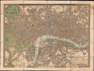
Cruchley's New Plan of London. Improved to 1826.
$750.00
Acquire
- Digital Map Information
- Suitable for large format printing
- DPI: 600
- File Size: 88.1 MB
- File Type: ZIP / TIFF
- ICC color profile embedded
- Delivered instantly via download link
This is a 1827 George F. Cruchley pocket city plan or map of London, England. The map is interesting for its documentation of the Rules of the King's Bench and Fleet Prisons - 'Clink Liberty' zones where convicts could serve out their sentences outside of prison. (more details)
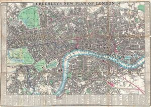
Cruchley's New Plan of London Shewing all the New and Intended Improvements to the Present Time.
$800.00
Acquire
- Digital Map Information
- Suitable for large format printing
- DPI: 300
- File Size: 19 MB
- File Type: ZIP / TIFF
- ICC color profile embedded
- Delivered instantly via download link
An extremely attractive 1846 pocket map of central London, England by George Frederick Cruchley. Centered on The Thames River, the map covers from Brompton and Hyde Park eastward as far as the east London Dock, and from Pentonville to southwards to Vauxhall ... (more details)
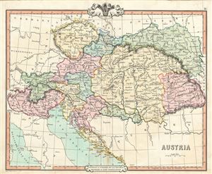
Austria.
$150.00
Acquire
- Digital Map Information
- Suitable for large format printing
- DPI: 300
- File Size: 7.71 MB
- File Type: ZIP / TIFF
- ICC color profile embedded
- Delivered instantly via download link
This is a lovely example of the 1850 George Frederick Cruchley map of Austria. It covers the territories claimed by the once vast Austro-Hungarian Empire, including in whole or part the modern day nations of Austria, Hungary, Germany, Italy, Albania, ... (more details)
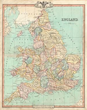
England.
$150.00
Acquire
- Digital Map Information
- Suitable for large format printing
- DPI: 300
- File Size: 8.47 MB
- File Type: ZIP / TIFF
- ICC color profile embedded
- Delivered instantly via download link
This is a lovely example of George Frederick Cruchley's 1850 map of England. It covers both England and Wales from Northumberland to Cornwall and from the St. George's Channel east as far as the Strait of Dover. The Isle of Man is also included. ... (more details)
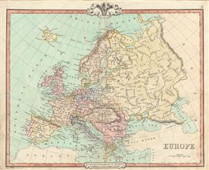
Europe.
$125.00
Acquire
- Digital Map Information
- Suitable for large format printing
- DPI: 300
- File Size: 9.19 MB
- File Type: ZIP / TIFF
- ICC color profile embedded
- Delivered instantly via download link
This is an attractive 1850 map of Europe issued by George Frederick Cruchley. It covers the entirety of the continent, including Iceland, from the Arctic Ocean to the Mediterranean Sea and from the Antarctic Ocean eastward as far as the Ural ... (more details)

Russia in Europe.
$150.00
Acquire
- Digital Map Information
- Suitable for large format printing
- DPI: 300
- File Size: 8.17 MB
- File Type: ZIP / TIFF
- ICC color profile embedded
- Delivered instantly via download link
This is a lovely 1850 map of Russia by George Frederick Cruchley. It covers the European portions of Russia from the Gulf of Bothnia to the Ural Mountains and from the Arctic south as far as the Black Sea. The modern day nations of Russia, ... (more details)
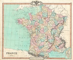
France.
$150.00
Acquire
- Digital Map Information
- Suitable for large format printing
- DPI: 300
- File Size: 9 MB
- File Type: ZIP / TIFF
- ICC color profile embedded
- Delivered instantly via download link
This is a fine example of George Frederick Cruchley's 1850 map of France. It covers all of France subdivided according to its various departments. An inset in the lower right quadrant details Corsica. The map is color coded according the ... (more details)
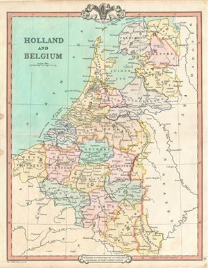
Holland and Belgium.
$150.00
Acquire
- Digital Map Information
- Suitable for large format printing
- DPI: 300
- File Size: 7.14 MB
- File Type: ZIP / TIFF
- ICC color profile embedded
- Delivered instantly via download link
A beautiful example of by George Frederick Cruchley's 1850 map of Holland (Netherlands) and Belgium. It covers the region from the North Sea to the Duchy of Luxemburg in the South. This map is color coded according the counties and ... (more details)
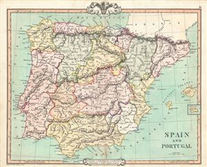
Spain and Portugal.
$150.00
Acquire
- Digital Map Information
- Suitable for large format printing
- DPI: 300
- File Size: 9.23 MB
- File Type: ZIP / TIFF
- ICC color profile embedded
- Delivered instantly via download link
This is a beautiful example of George Frederick Cruchley's 1850 map of Spain and Portugal. It covers all of Spain and Portugal from the Pyrenees to the Strait of Gibraltar and includes the Balearic Islands of Ibiza and Majorca, with ... (more details)
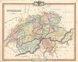
Switzerland.
$150.00
Acquire
- Digital Map Information
- Suitable for large format printing
- DPI: 300
- File Size: 7.77 MB
- File Type: ZIP / TIFF
- ICC color profile embedded
- Delivered instantly via download link
A lovely example of the 1850 George Frederick Cruchley map of Switzerland. It covers the entirety of Switzerland divided into its constituent Cantons from Vaud to the Grisons. After the ratification of a federal constitution in ... (more details)
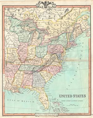
United States with Upper & Lower Canada.
$200.00
Acquire
- Digital Map Information
- Suitable for large format printing
- DPI: 300
- File Size: 8.09 MB
- File Type: ZIP / TIFF
- ICC color profile embedded
- Delivered instantly via download link
An attractive 1850 map of the United States and parts of Canada by George Frederick Cruchley. The map covers the United States east of Texas and the Indian Territory as well as parts of Canada south of the Hudson Bay and west of ... (more details)
Thirty miles around London.
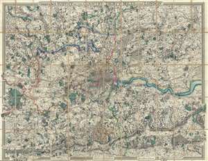
From the Ordnance Survey of the Country Thirty Miles round London.
$1,500.00
Acquire
- Digital Map Information
- Suitable for large format printing
- File Size: 365.63 MB
- File Type: ZIP / TIFF
- ICC color profile embedded
- Delivered instantly via download link
This is an uncommon 1855 George Frederick Cruchley map of London and its immediate environs. Presented here in case format, Cruchley's map depicts the area thirty miles around London, or from Hertford to Turnbridge and Godalming, and from Windsor to Chatham. Exceptionally vivid color work identifies counties, rail lines, roads, and forests. The detail throughout is extraordinary, with even such insignificant features as the ancient earthen embankments on Wimbledon Common illustrated. Similarly, market towns and market days are carefully identified throughout. Within London itself, Hyde Park, Kensington Gardens, Regent's Park, and the Tower of London are illustrated. (more details)
Beautiful plan of central London.
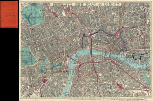
Cruchley's New Plan of London.
$550.00
Acquire
- Digital Map Information
- Suitable for large format printing
- File Size: 21.56 MB
- File Type: ZIP / TIFF
- ICC color profile embedded
- Delivered instantly via download link
A first-edition example of George Frederick Cruchley's 1860 pocket map of London, England. The map captures the city at the height of the city-wide 19th-century urbanization that coincided with the Industrial Revolution. (more details)