
Darton, William (sold)

William Darton (February 2, 1781 - July 28, 1854) was an English publisher and engraver active in Tottenham London during the early part of the 19th century. Darton was the eldest son of William Darton Sr., himself a printer and publisher who co-owned the firm of Harvey and Darton. Darton, a Quaker, was educated at the Friends School in Clerkenwell, London and the Ackworth School in Yorkshire. Afterwards Darton apprenticed to his father where he mastered the part of printing and engraving. Around 1804 Darton opened his own shop, the "Repertory of Genius", specializing in maps, prints, children's books, educational publications, and other "works of merit" at 50 Holborn Hill, London. Cartographically Darton's most significant contribution is his 1823 publication, along with engraver W. R Gardner, of the first composite comparative mountains and rivers chart. Darton also published various maps for the 1802 Atlas to Walker's Geography and his own 1813 Union Atlas. Darton retired in 1851 leaving his business to his son, John Maw Darton, who partnered with Samuel Clark and published as "Darton and Clark".
The United States just after the American Revolutionary War.
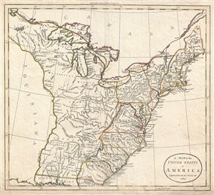
A Map of the United States of America Agreeable to the Peace of 1783.
sold
- Digital Map Information
- Suitable for large format printing
- DPI: 300
- File Size: 7.77 MB
- File Type: ZIP / TIFF
- ICC color profile embedded
- Delivered instantly via download link
An unusual c. 1783 John Russell map of the United States issued shortly after the American Revolutionary War. The map depicts the United States according to the 1783 Treaty of Paris that formally ended the War. These borders extended from the middle of the Great ... (more details)
The Second Age of Discovery summarized in a game.
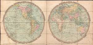
Walker's Geographical Pastime, or Tour Through the Western Hemisphere, or New World. An Amusing and Instructive Game. Walker's Geographical Pastime, or Tour Through the Eastern Hemisphere, or Old World. An Amusing and Instructive Game.
sold
- Digital Map Information
- Suitable for large format printing
- Full resolution TIFF file
- ICC color profile embedded
- Delivered instantly via download link
This is an 1816 William Darton game map of the world in two hemispheres. The map emerged early in the 19th century during a period of global optimism, curiosity, and romanticism following the well-publicized voyages of Cook, Perouse, and Vancouver. It celebrates expanded geographical curiosity, while serving as a didactic tool to educate on matters of geography, history, and culture. (more details)
The earliest chart to depict the heights of mountains and the lengths of rivers together in one illustration' - Rumsey
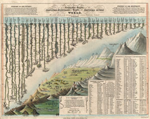
New and Improved View of the Comparative Heights, of the Principal Mountains and Lengths of the Principal Rivers in the World.
sold
- Digital Map Information
- Suitable for large format printing
- DPI: 300
- File Size: 6.4 MB
- File Type: ZIP / TIFF
- ICC color profile embedded
- Delivered instantly via download link
A groundbreaking convention establishing map of extreme scarcity, this is William Darton and W. R. Gardner's 1823 comparative mountains and rivers of the world chart. According to Rumsey this is the first known example of a comparative chart to depict both ... (more details)
The earliest chart to depict the heights of mountains and the lengths of rivers together in one illustration' - Rumsey
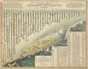
New and Improved View of the Comparative Heights, of the Principal Mountains and Lengths of the Principal Rivers in the World.
sold
- Digital Map Information
- Suitable for large format printing
- DPI: 300
- File Size: 5.78 MB
- File Type: ZIP / TIFF
- ICC color profile embedded
- Delivered instantly via download link
A groundbreaking convention establishing map of extreme scarcity, this is William Darton and W. R. Gardner's 1823 comparative mountains and rivers of the world chart. According to Rumsey this is the first known example of a comparative chart to depict both ... (more details)