
Day and Haghe (sold)
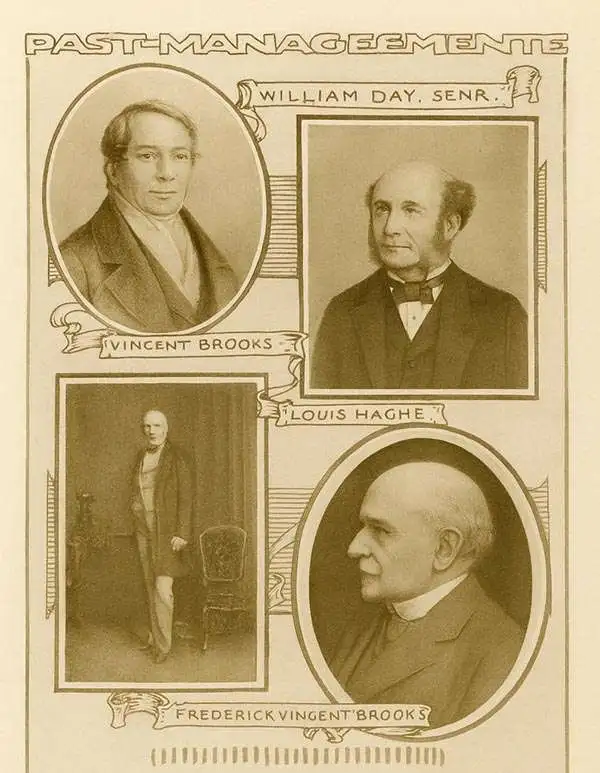
Day and Haghe (1830 - 1852) was a British lithograph firm founded in 1830 by Louis Haghe (March 17, 1806 - March 9, 1885) and William Day (1797 - 1845). Louis Haghe was born in Tournai, Belgium, the son and grandson of prominent Belgian architects. Haghe had a fondness for watercolor painting and turned his attention to the nascent art of lithography. He set up his first lithographic press in Tournai, but did not truly prosper until he moved to London in 1823. There, in 1830, he partnered with William Day to found 'Day and Haghe.' Day and Haghe engraved and printed lithographs detailing hunting scenes, architecture, topographical views, genre depictions, city views, and more. They pioneered the new techniques for chromolithography as well as issuing hand-tinted lithographs. In 1837, Day and Haghe became the only lithographers to receive the prestigious Royal Warrant wherein they were appointed 'Lithographers to the Queen'. The firm is most famous for producing the 250 images for David Roberts' The Holy Land, Syria, Idumea, Arabia, Egypt, and Nubia, 1842 - 1849. Although Haghe remained with the company, as early as the 1840, he left most of the management to Day. When William Day died in 1845, the firm's management fell to his son, William Day Jr. Haghe formally left the firm to persue art in 1852, after which the imprint changed to 'Day and Son.' Day and Son went into liquidation in 1867 and was acquired by Vincent Brooks (1815 - 1885). Brooks owned the firm outright, but kept the prestigious Day name, publishing under the imprint of 'Vincent Brooks, Day and Son' until the firm went defunct in 1940.
'Texas cut down to size - a difficult feat even in 1842' - Graff
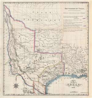
A New Map of Texas 1841.
sold
- Digital Map Information
- Suitable for large format printing
- Full resolution TIFF file
- ICC color profile embedded
- Delivered instantly via download link
An 1841 map of the Republic of Texas by Nicholas Doran Maillard, who hated Texas and Texans pretty much more than anything. Despite Maillard's feelings toward Texas, the map by Day and Haghe is a truly remarkable work unique in addressing Texas's boundaries and claims. It also notes with detail American Indian settlements throughout and offers notes and annotations on fortifications, terrain, mines, and more. Significantly, and progressively for the time, much of the land beyond coastal Texas is defined as the 'Territory of the Texan Indians'. (more details)
19th Century Quebec City at the height of its prosperity.
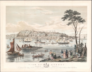
View of Quebec Dedicated by Permission to Lt. General Lord Seaton G. C. B. and G. C. H. Late Governor General and Commander in Chief of the Forces in British North America.
sold
- Digital Map Information
- Suitable for large format printing
- DPI: 600
- File Size: 24.49 MB
- File Type: ZIP / TIFF
- ICC color profile embedded
- Delivered instantly via download link
A stunning view of Quebec City, Canada, issued c. 1845 based upon a painting by Benjamin Beaufoy. The view underscores Quebec's significance as a center of trade as well as the good relations the city maintained with the local Indigenous communities. (more details)