
Farmer, John (sold)
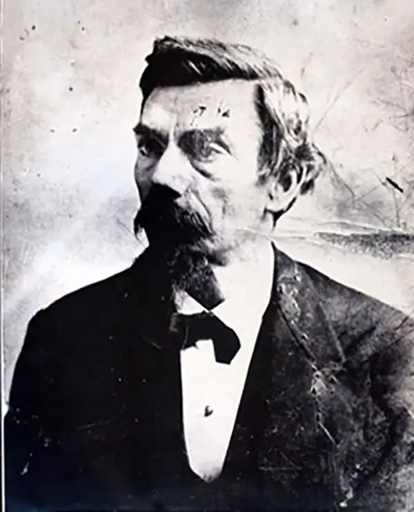
John Farmer (February 9, 1798 - March 24, 1859) was an American cartographer based in Detroit, Michigan, in the first half of the 19th century. Farmer was born in the town of Half Moon, Saratoga County, New York where he trained to become a school teacher, mastering, among other academic skills, drafting. At the time, Michigan Territory has a shortage of school teachers and, in 1821, recruited Farmer to head the Lancasterian School in Detroit. Farmer supplemented his salary by using his drafting skills to copy manuscript surveys for new settlers arriving in Michigan. This work must have brought him to the attention government officials, who employed him to compile and draft a map of Michigan's first federally funded road. In 1826, he also published, along with Orange Risdon, one of the earliest maps of Michigan. Working in the 1830s, Farmer taught himself engraving in order to issue a second, more detailed map focusing on the southern half of Michigan's lower peninsula. In 1835, he issued an important general map of the Territories of Michigan and Wisconsin, which became one of his most enduring maps, going the various editions for nearly 25 years. Most of his early map plates he sold to J. H. Colton, who republished them under his own name and imprint. In 1844, Farmer issued State of Michigan and the Surrounding Country, the map that most defined his career. It became the essential Michigan map, indispensable for anyone planning to emigrate to Michigan, do business, or even move about the state. He updated and revised this map throughout the remainder of his life. He also issued a rare wall map of Michigan measuring 5 x 6 ft. After his death, in March of 1859, following a long mental decline, the Farmer map plates passed to his widow Rachel, and sons, Silas, Arthur, and John, who continued the business under Farmer's imprint.
Guide to new life in Michigan.
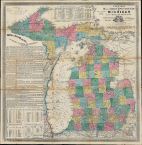
Farmer's Railroad and Township Map of Michigan and Chart of the Lakes.
sold
- Digital Map Information
- Suitable for large format printing
- Full resolution TIFF file
- ICC color profile embedded
- Delivered instantly via download link
This is Silas Farmer's important 1864 railroad and township map of Michigan. Farmer's map appeared during a period when Michigan was a hotspot for immigration and settlement. Both father John Farmer and his son Silas Farmer were local Michigan cartographers who worked assiduously with contemporaneous local governments and surveyors to keep their maps up-to-date, publishing editions annually and sometimes biannually. Such maps were essential for emigrants, both for travel and for life planning. (more details)
Guide to new life in Michigan.
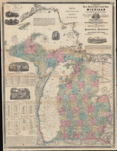
Farmer's Railroad and Township Map of Michigan and Chart of the Lakes.
sold
- Digital Map Information
- Suitable for large format printing
- File Size: 105.12 MB
- File Type: ZIP / TIFF
- ICC color profile embedded
- Delivered instantly via download link
This is an 1868 Silas Farmer railroad and township map of Michigan. Farmer's map appeared during a period when Michigan was a hotspot for emigration and settlement. Both father John Farmer and his son Silas Farmer worked assiduously to keep their maps updated, publishing editions annually and sometimes biannually. Such maps were essential for emigrants not only for travel, but also for planning their new life. (more details)
By Michigan's most famous map publisher.
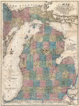
Map of the State of Michigan and the Surrounding Country.
sold
- Digital Map Information
- Suitable for large format printing
- File Size: 73.46 MB
- File Type: ZIP / TIFF
- ICC color profile embedded
- Delivered instantly via download link
An attractive example of John Farmer's 1868 separate issue map of Michigan. This is an iconic map of Michigan and was published in many editions from 1844. Based upon county land office survey work, the map covers all of Michigan including the Upper Peninsula. It also includes most of Lake Michigan and the western half of Lake Huron. The Great Lakes are full of rhumb lines illustrating sailing directions between important points. In its day, this map was considered indispensable for emigrating to, doing business in, or simply traveling around Michigan. (more details)
Michigan Land Rush.
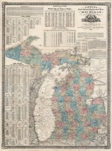
Farmer's Railroad and Township Map of Michigan and Chart of the Lakes.
sold
- Digital Map Information
- Suitable for large format printing
- File Size: 53.38 MB
- File Type: ZIP / TIFF
- ICC color profile embedded
- Delivered instantly via download link
This is an 1868 Silas Farmer railroad and township map of Michigan. Farmer's maps appeared as the federal government was privatizing over 26 million acres of Michigan land for emigration and settlement. With a veritable land rush in progress, both father, John Farmer, and son, Silas Farmer, worked assiduously to keep their maps updated, publishing editions annually and sometimes biannually. Such maps were essential for emigrants, not only for travel, but also to plan frontier life. (more details)