
Findlay, Alexander George (sold)
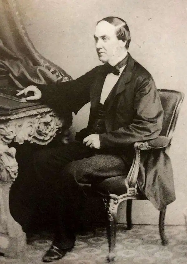
Alexander George Findlay (January 6, 1812 - May 3, 1875) was an English geographer and hydrographer active in London during the middle part of the 19th century. Findlay was born in London to the Findlays of Arbroath, Forfarshire, a family long associated with nautical trades. Findlay's father, Alexander Findlay (apprentice to John Russell) was one of the original fellows of the Royal Geographical Society. The son, Alexander George Findlay, devoted himself to the compilation of geographical and hydrographical works, publishing various nautical works as well as historical atlases. In 1844 he was elected a fellow of the Royal Geographical Society. Most of Findlay's early nautical work was completed in association with the London geographical and print publishing firm of Laurie and Whittle. Following the 1858 death of Richard Holmes Laurie, Findlay took over the business, republishing many updated versions of established charts well into the late 19th century.
Beautiful and rare, an essential lighthouse guide for the British mariner.
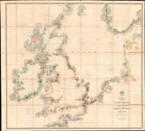
A Chart Exhibiting the Lighthouses and Light Vessels on the Coasts of Great Britain and Ireland and also those on the N.W. Coasts of Europe between Ushant and Bergen. Published by order of the Honble the Corporation of Trinity House, constructed by A. G Findlay.
sold
- Digital Map Information
- Suitable for large format printing
- Full resolution TIFF file
- ICC color profile embedded
- Delivered instantly via download link
An extraordinary 1863 chart and map exhibiting in great detail the lighthouses of Great Britain, including England, Ireland, Wales, and Scotland, and around the North Sea as far as Norway, Holland, France, and Denmark. The chart provides essential information for the mariner with regard to understanding and identifying the region's many lighthouses and what they communicate. In addition, the map illustrates the major regional railroads and their connections to major ports. The whole is impressively presented in a handsome presentation case with gilt stamped cover and brass closures. (more details)
The height of the China Trade on one chart! Belcher's Hong Kong! Collinson's survey!
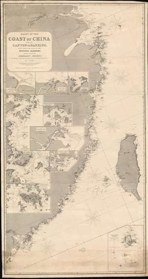
Chart of the Coast of China from Canton to Nanking, with particular plans of the principal Harbors, Drawn from the Admiralty Surveys by Captains R. Collinson, H. Kellett and Sir Edwad Belcher, R. N.
sold
- Digital Map Information
- Suitable for large format printing
- Full resolution TIFF file
- ICC color profile embedded
- Delivered instantly via download link
An exceptionally rare and important 1865 nautical chart or maritime map of the coast of China compiled by John Purdy from the surveys of Sir Edward Belcher (Hong Kong), Richard Collinson (China Coast), and Henry Kellett (China Coast) - probably the best general map of the China coast then obtainable. The map's coverage extends from mouth of the Yangtse River (Nanjing and Shanghai) south as far as Hong Kong and Macao, and east to include Taiwan (Formosa). The chart includes nine insets, among them a large representation Collinson's update of Belcher's First Opium War Hong Kong survey of 1841. This map, made after the second opium war, represents the high point of the China Trade when cities like Shanghai and Hong Kong were transforming into global centers of trade and commerce, largely at the expense of an increasing angry and frustrated Chinese populace (more details)
Very rare map of Bermuda, the most sophisticated in its day..
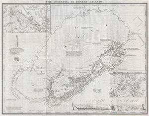
The Bermuda or Somers' Islands
sold
- Digital Map Information
- Suitable for large format printing
- File Size: 8.17 MB
- File Type: ZIP / TIFF
- ICC color profile embedded
- Delivered instantly via download link
A scarce and important map of Bermuda issued in 1868 by Alexander Findlay. Based upon the model laid down by C. Lempriere and Robert Sayer in 1775, this map details the island of Bermuda and its surrounding reefs. Laurie acquired Sayer's stock in in 1794 and ... (more details)