
Flacourt, Étienne de (sold)
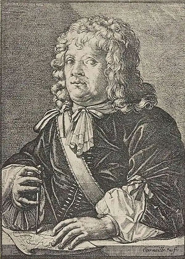
Étienne de Flacourt (1607 – 1660) was a French governor of Madagascar, born at Orléans in 1607. He was French East India Company's governor of Madagascar in 1648. In 1658 he authored L'Histoire de le Grand île de Madagascar, the first detailed natural history of the island, for which he prepared a map which represented the first improvement on the geographical knowledge of the island since Linschoten. Flacourt was one of the few, if not the only, Westerner to have recorded knowledge of the elephant birds of Madagascar when they were possibly still extant.
First Blaeu edition of the first map of Madagascar based on firsthand report.
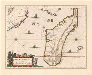
Insula S. Laurentii, vulgo Madagascar.
sold
- Digital Map Information
- Suitable for large format printing
- Full resolution TIFF file
- ICC color profile embedded
- Delivered instantly via download link
This is the first, 1662 edition of Joan Blaeu's map of Madagascar, in a superb original color example heightened with gold. It is among the scarcest of Blaeu's atlas maps,and one of the most beautifully engraved. This example is particularly desirable, featuring sumptuous original color and delicate gold highlighting. (more details)
Magnificently Detailed Madagascar.
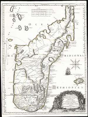
Isle d'Auphine, Communement Nommée par les Europeens Madagascar, et St. Laurens, et par les Habitans du Pays Madecase: Dressée Sur les Memoires du Sr. de Flacourt, et de François Cauche; et Sur Diverses autres Relations des François, Anglois, Portugais et Hollandois. Par le Sr. Sanson le Fils Geogr.' ordre. du Roy. A Paris. Chez Pierre Mariette Rue St. Jacques a l'Esperance Avec Privilege pour Vingt Ans. 1667.
sold
- Digital Map Information
- Suitable for large format printing
- Full resolution TIFF file
- ICC color profile embedded
- Delivered instantly via download link
This is the first edition of Nicolas Sanson's 1667 new map of Madagascar. This map represents the most significant advancement of Madagascar cartography since the map of Étienne de Flacourt (1607 - 1660), who from 1648 to 1653 was French East India’s Governor of Madagascar, and who in 1658 published the first natural history of the island,Histoire de la grande isle Madagascar. (more details)
Baroque Masterpiece in the Mapping of Africa.
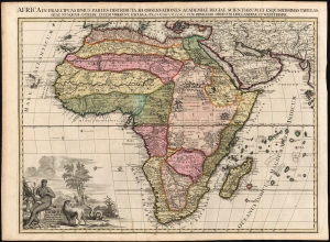
L'Afrique selon les nouvelles observations de Mssrs de l'Académie des sciences, etc., Africa in praecipuas ipsius partes distributa, ad observationes academiae regiae scientarum et exquisitissimas tabulas quae nunquam antehac lucen vederunt, Excusa A Francisco Halma, cum privilegio ordinum Hollandiae et westfrisiae.
sold
- Digital Map Information
- Suitable for large format printing
- Full resolution TIFF file
- ICC color profile embedded
- Delivered instantly via download link
This is the rare first state of François Halma's c. 1699 separately-issued map of Africa. Its unusually large folio size, bold and sophisticated engraving, and rich original color sets this map apart as one of the most beautiful obtainable late-17th century maps of the continent. (more details)