
Freytag and Berndt (sold)

Freytag and Berndt (1770 - Present) is a publisher of maps, atlases, guidebooks, and travel literature. Its roots reach back to when Francesco Artaria founded a lithographic works in Vienna in 1770. In February 1879, Gustav Freytag founded a cartographic publishing house. Freytag and Berndt merged with Artaria's cartographic division in 1920. After World War II, Freytag-Berndt and Artaria expanded their publishing operations, becoming one of the most important cartographic publishers in Central Europe. Today, Freytag & Berndt publishes street maps, city maps, hiking maps, and cycling maps and employs 50 cartographers and editors at its headquarters in Vienna.
Vienna's many buildings and monuments illustrated in monumental fashion.
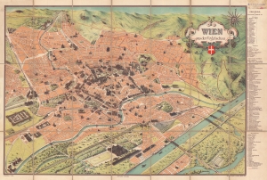
Wien aus der Vogelschau Plan von Wien mit sämtlichen Monumental-Bauten.
sold
- Digital Map Information
- Suitable for large format printing
- Full resolution TIFF file
- ICC color profile embedded
- Delivered instantly via download link
This is a beautiful c. 1900 Hartleben pictorial monumental map of Vienna, Austria. Ninety-two locations are illustrated pictorially and numerically identified, including St. Stephen's Cathedral (No. 1), the Rathaus (No. 40), and the Arsenal (No. 70). Thirty-two monuments are illustrated and alphabetically identified. The extensive index occupies the right margin outside the map. Prominent red lines trace Vienna's tram network. (more details)
Vienna's many buildings and monuments illustrated in monumental fashion.
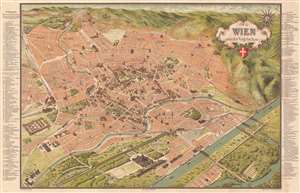
Wien aus der Vogelschau Plan von Wien mit sämtlichen Monumental-Bauten.
sold
- Digital Map Information
- Suitable for large format printing
- Full resolution TIFF file
- ICC color profile embedded
- Delivered instantly via download link
This is a beautiful c. 1907 Hartleben pictorial monumental map of Vienna, Austria. 155 locations are illustrated pictorially and numerically identified throughout the city, including St. Stephen's Cathedral (No. 1), the Rathaus (No. 41), and the Arsenal (No. 105). Forty-nine more locations (many of which are monuments) are illustrated and alphabetically identified. The extensive indexes occupy the left and right margins outside the map. Prominent red lines trace Vienna's tram network. (more details)
Italy's Craggy Northeast.
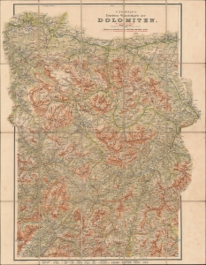
G. Freytag's Touristen-Wanderkarte der Dolomiten mit markierten Wegen. Blatt 2.
sold
- Digital Map Information
- Suitable for large format printing
- File Size: 45.5 MB
- File Type: ZIP / TIFF
- ICC color profile embedded
- Delivered instantly via download link
An impressive c. 1910 folding topographic map of the eastern portion of the Dolomites, then a part of Austria. It was produced by Freytag und Berndt in Vienna, the premier publisher of such topographical maps in Austria at the time. (more details)
The Best Way to Bozen (that is, Bolzano).
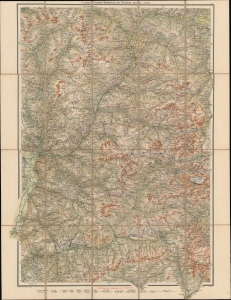
G. Freytag's Touristen-Wanderkarte der Dolomiten. Blatt 1.
sold
- Digital Map Information
- Suitable for large format printing
- File Size: 48.95 MB
- File Type: ZIP / TIFF
- ICC color profile embedded
- Delivered instantly via download link
A detailed c. 1910 folding topographical map of the western portion of the Dolomites, including Bolzano (Bozen), then a part of Austria. It was produced by Freytag und Berndt in Vienna, the premier publisher of such topographical maps in Austria at the time. (more details)