
Jacot-Guillarmod, Charles
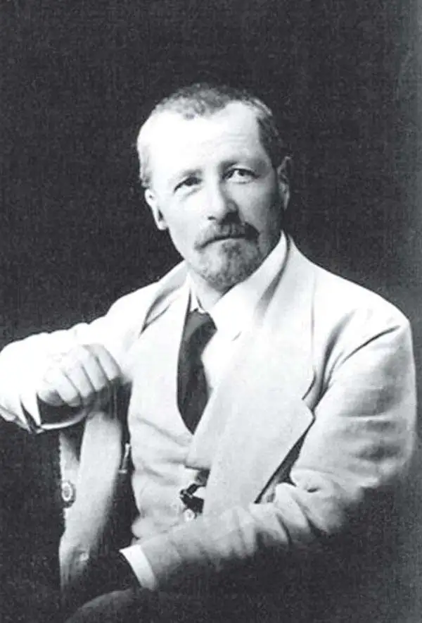
Charles Jacot-Guillarmod (1868 – August 14, 1925) was a Swiss topographical engineer active in the late 19th and early 20th century. Charles was born in Le Chaux-de-Fonds, in the Canton of Neuchatel, Switzerland. He attended the Eidgenössische Technische Hochschule Zürich (ETHZ), where he acquired a degree in Topographical Engineering. After graduating served the Swiss Federal Topographical Bureau from 1890 – 1914, contributed significantly to the Topographical Atlas of Switzerland. He was dismissed from his government topographical posted in 1914. Independent of a paid post he turned his attentions to his interested in high alpine cartography, producing two topographical sketches of Himalayan peaks (K2 and Kanchenjunga) based upon photographs taken by his cousin, the famed mountaineer Jules Jacot-Guillarmod. From 1916 to 1922 he relocated to Beijing where he taught geodesy and topography at the Chinese Army Survey School. There, he was also contracted to compile the 1919 second edition of the China Postal Atlas. When the Chinese government could no longer pay him, he returned to Switzerland in 1923 where he compiled a large scale topographic map of Mount Olympus. His final work was a large scale map of Mount Everest commissioned by the Royal Geographical Society, London, based upon the surveying achievements of a British expedition.
Guide to one of the most important atlases of modern China.
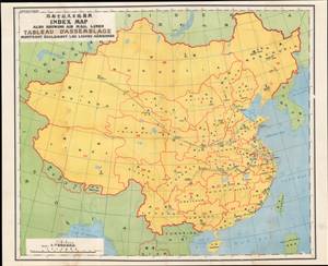
輿圖總目及航空郵路 / Index Map, also showing air mail lines.
$400.00
Acquire
- Digital Map Information
- Suitable for large format printing
- File Size: 25.78 MB
- File Type: ZIP / TIFF
- ICC color profile embedded
- Delivered instantly via download link
This is the index map for the 1933 edition of The Postal Atlas of China (中華郵政輿圖), compiled by Charles Jacot-Guillarmod. It is a comprehensive map of China depicting air mail routes between major cities and to interior regions that were difficult to reach by other means. (more details)
Postal infrastructure as a reflection of China's modernization.
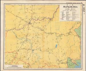
東三省 中區 / Manchuria Central Section.
$400.00
Acquire
- Digital Map Information
- Suitable for large format printing
- Full resolution TIFF file
- ICC color profile embedded
- Delivered instantly via download link
This is a map of central Manchuria (portions of Heilongjiang and Jilin Provinces) from the 1933 edition of The Postal Atlas of China (中華郵政輿圖), compiled by Charles Jacot-Guillarmod. It highlights the evolving postal infrastructure of the region, which had been contested between China, Japan, and Russia for decades and had become a de facto Japanese colony with the establishment of the puppet state of Manchukuo the previous year. (more details)
Postal infrastructure beyond the Great Wall.
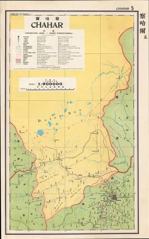
察哈爾 / Chahar.
$400.00
Acquire
- Digital Map Information
- Suitable for large format printing
- File Size: 13.02 MB
- File Type: ZIP / TIFF
- ICC color profile embedded
- Delivered instantly via download link
This is a map of Chahar Province (Inner Mongolia) from the 1933 edition of The Postal Atlas of China (中華郵政輿圖), compiled by Charles Jacot-Guillarmod. It presents the limited but evolving postal infrastructure of the region, an impressive feat given the difficult terrain and lack of infrastructure. (more details)
Postal infrastructure as a reflection of China's modernization.

福建 / Fukien.
$350.00
Acquire
- Digital Map Information
- Suitable for large format printing
- File Size: 32.01 MB
- File Type: ZIP / TIFF
- ICC color profile embedded
- Delivered instantly via download link
This is a map of Fujian (Fukien) Province from the 1933 edition of The Postal Atlas of China (中華郵政輿圖), compiled by Charles Jacot-Guillarmod. It illustrates the evolving postal infrastructure of the region, reflecting a broader modernization drive by the Nanjing government. (more details)
Postal infrastructure as a reflection of China's modernization.
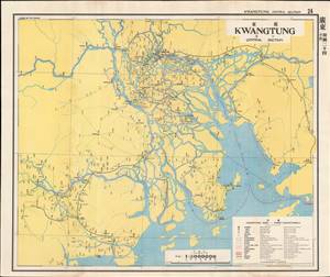
廣東 - 中區 / Kwangtung - Central Section.
$450.00
Acquire
- Digital Map Information
- Suitable for large format printing
- File Size: 24.55 MB
- File Type: ZIP / TIFF
- ICC color profile embedded
- Delivered instantly via download link
This is a map of central Guangdong (Kwangtung) Province from the 1933 edition of The Postal Atlas of China (中華郵政輿圖), compiled by Charles Jacot-Guillarmod. It depicts the evolving postal infrastructure, reflecting a broader modernization drive by the Nanjing government. (more details)
Postal infrastructure in one of the most developed regions of China.
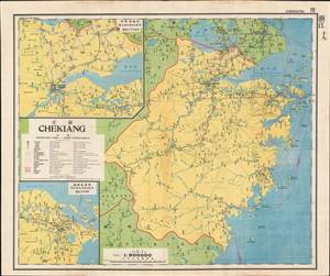
浙江 / Chekiang.
$400.00
Acquire
- Digital Map Information
- Suitable for large format printing
- File Size: 30.78 MB
- File Type: ZIP / TIFF
- ICC color profile embedded
- Delivered instantly via download link
This is a map of Zhejiang (Chekiang) Province from the 1933 edition of The Postal Atlas of China (中華郵政輿圖), compiled by Charles Jacot-Guillarmod. It presents the evolving postal infrastructure of the region, reflecting a broader modernization drive by the Nanjing government. (more details)