
Hart, Albert Bushnell (sold)
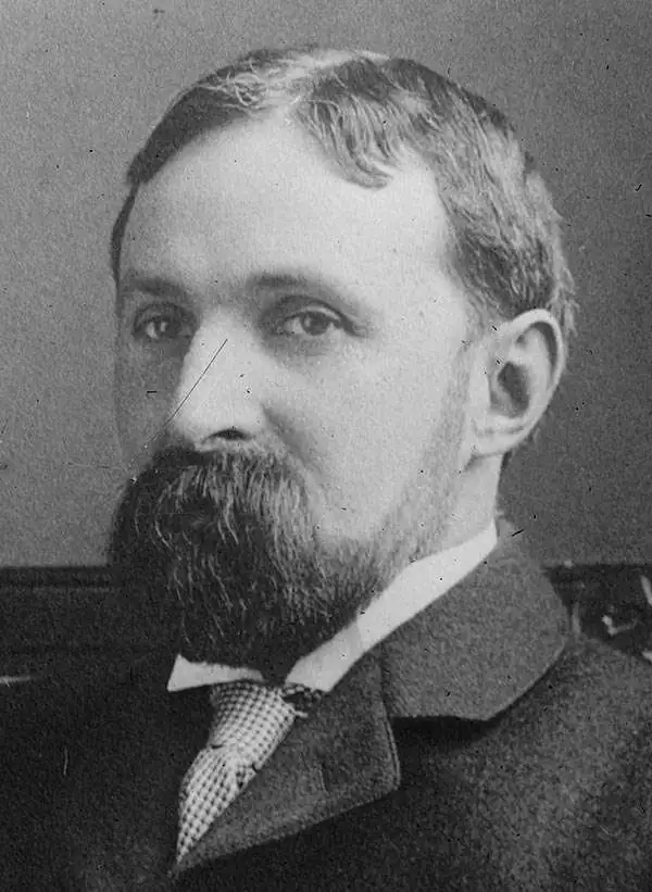
Albert Bushnell Hart (July 1, 1854 - July 16, 1943), a member of the Harvard University faculty for 43 years, was an American historian, writer, and editor. Hart was one of the first generation of professionally trained historians in the United States and a prolific author. He graduated from Harvard in 1880 and went on to study in Paris, Berlin, and Freiburg. He received his doctorate at Freiburg in 1883. He returned to Harvard that year as the instructor of the American history course offered at the time and retired in 1926.
Allows for a glimpse into the racist tendencies of the United States in the 1920s and 1930s.
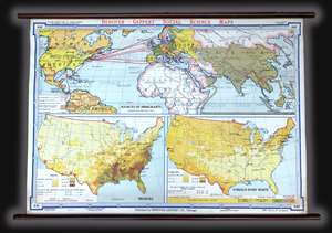
This is a c. 1940s Albert Bushnell Hart and Denoyer-Geppert Company wall map of the world. The map depicts from North America to the Pacific Ocean, Japan, and Indonesia (labeled the Netherlands, Indies) and from the Arctic Circle to just past the Equator. Occupying ... (more details)
A striking visual presentation of how the United States expanded from the Atlantic to the Pacific - including the Republic of Texas!
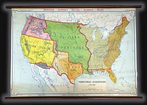
A visually striking piece, this is a c. 1940s Albert Bushnell Hart and Denoyer-Geppert Company wall map of the United States. The map depicts the continental United States from the Pacific Ocean to the Atlantic Ocean and from Canada (labeled British Possessions) to ... (more details)
The growth of the United States explained.
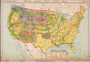
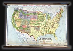
Western Statehood and Land Grants for Railroads.
sold
- Digital Map Information
- Suitable for large format printing
- File Size: 69.4 MB
- File Type: ZIP / TIFF
- ICC color profile embedded
- Delivered instantly via download link
This is a c. 1940s Albert Bushnell Hart and Denoyer-Geppert Company wall map of the United States. The map depicts the continental United States from the Pacific Ocean to the Atlantic Ocean and from Canada to Mexico. As a means of illustrating the westward expansion of the United States, color coding is used to differentiate between states. Through this unique coding structure, the piecemeal expansion of the United States across the continent is easily distinguishable. For example, all the yellow states achieved statehood before 1864, which means that both California and Oregon, on the Pacific coast, became states long before the majority of the states in the Trans-Mississippi West. American Indian reservations established by 1916 are depicted in red. (more details)
Visually depicts the Western Expansion of the United States and the creation of the rail network.
This is a c. 1940s Albert Bushnell Hart and Denoyer-Geppert Company wall map of the United States. The map depicts the continental United States from the Pacific Ocean to the Atlantic Ocean and from Canada to Mexico. As a means of illustrating the westward ... (more details)