
Hitchcock, Charles Henry (sold)
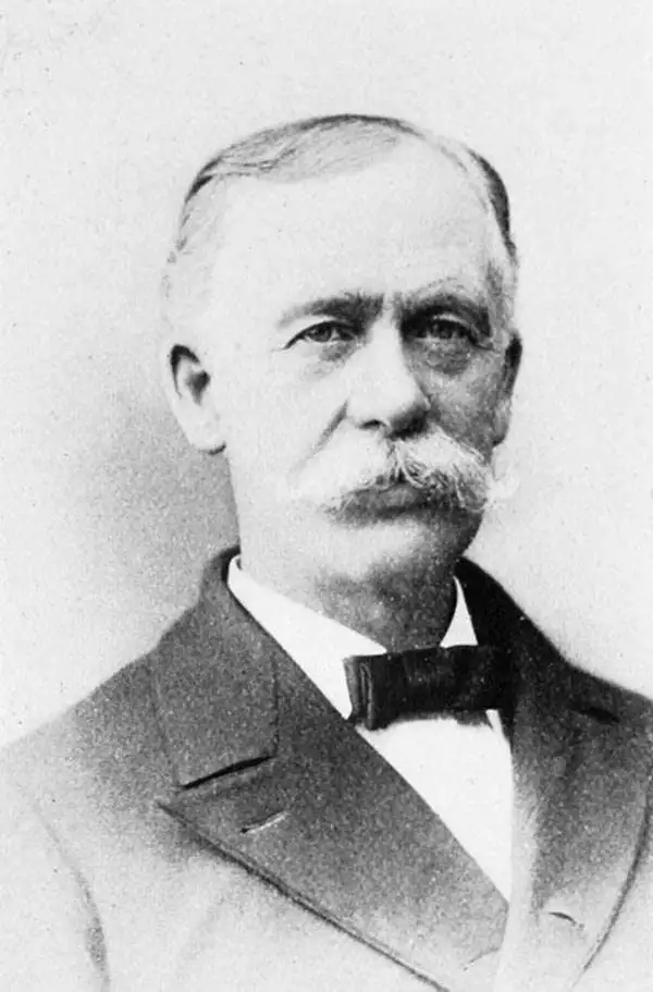
Charles Henry Hitchcock (August 23, 1836-November 5, 1919) was an American geologist. He was born in Amherst, Massachusetts to Edward Hitchcock (1793-1864), himself a professor of geology and natural theology at Amherst College, and Orra White Hitchcock, who illustrated much of his father's work. He was assistant state geologist of Vermont (1857-61), state geologist of Maine (1861-2), and New Hampshire state geologist (1868-78), during which latter tenure he produced the first set of detailed maps of the geology of New Hampshire. He taught at Dartmouth College in from 1868 to1908, holding the Hall Professorship of Geology and Mineralogy.
A Beautiful Map of Massachusetts Rich in Geological Data
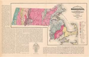
Geological Map of Massachusetts, Compiled by C. H. Hitchcock, Ph. D. Professor of Geology in Dartmouth College.
sold
- Digital Map Information
- Suitable for large format printing
- File Size: 23.38 MB
- File Type: ZIP / TIFF
- ICC color profile embedded
- Delivered instantly via download link
This is an attractive and richly informative geological map of Massachusetts, compiled by the geographer Charles Hitchcock and published by Walling and Gray in 1871. The map shows sources of iron, lead, copper, manganese and zinc; beds of coal, plumbago (not the ... (more details)
Early 'rusticator' tourism to the White Mountains.
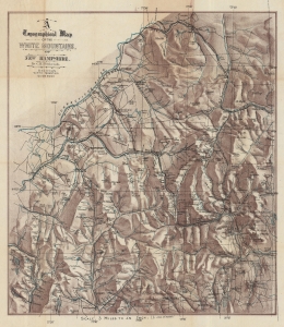
A Topographical Map of the White Mountains, of New Hampshire.
sold
- Digital Map Information
- Suitable for large format printing
- File Size: 33.37 MB
- File Type: ZIP / TIFF
- ICC color profile embedded
- Delivered instantly via download link
This is striking c. 1880 Charles H. Hitchcock chromolithograph topographical map of the White Mountains, New Hampshire. This map emerged as the White Mountains were beginning to see widespread railroad connections, making the stunning forested region accessible to urbanites in search of a reprived from stultifying city life. (more details)