
Kümmerly, Hermann (sold)
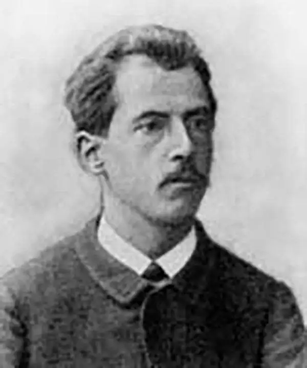
Hermann Kümmerly (September 6, 1857 - April 29, 1905) was a Swiss painter, lithographer, and cartographer. Kümmerly was born in Bern. He apprenticed as a lithographer under his father Gottfried, and also studied as a painter. He worked for a time for the Swiss Confederation's Topographic Bureau, which did not have its own printing company. In conjunction with Rudolf Leuzinger, the Kümmerly printing office gradually specialized in map printing. His maps became renowned for their vivid and accurate presentation of topography and in his naturalistic use of color in maps. He became particularly well known for his large school wall map of Switzerland, which has been hanging in virtually every school in Switzerland from 1903 until today. In 1898, his brother-in-law Otto Julius Frey joined the company as cartographer and co-owner, who now took the name Kümmerly and Frey. In 1931, Walter Kümmerly and Max Frey, the sons of the two predecessors, took over the management and skillfully steered the company through the years of crisis and World War II, despite the prohibition on map printing. In the post-war period, production shifted back to map production and book production with geographic themes. Since 1980, the fourth generation has been represented in the company management with Barbara Elisabeth Peters.
The finest 19th century map of the Mont Blanc Range.
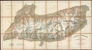
Le Chaine du Mont-Blanc.
sold
- Digital Map Information
- Suitable for large format printing
- File Size: 50.21 MB
- File Type: ZIP / TIFF
- ICC color profile embedded
- Delivered instantly via download link
Generally known as 'The Imfeld Map', this is a dramatic and stunning 1896 Xaver Imfeld chromolithograph map of the Mont Blanc Mountain Range in Switzerland's Alps - at the time the finest map of the region yet produced. The map is oriented slightly to the northwest and is centered on the peak of Mont Blanc itself. Coverage extends from Bon-Nant River in France to Orsières and from Gillot to Courmayeur. The map was highly praised when it was produced by journals of the time,
To this faultless production all explorers of the Chian are deeply indebted, and for the first time the Mont du Brouillard, the Glacier du Mont Blanc, the Rochers du Mont Blanc, the Glacier du Dôme, and the Aiguilles Grises are all beautifully delineated with scrupulous fidelity to nature. (Mathews, C. E., Annals of Mont Blanc, page 216)The whole employs the unique Swiss-style shading techniques employed by the engraver, Kümmerly, to display that country's intense topography. (more details)
Warily Eyeing the Neighbors to the North.
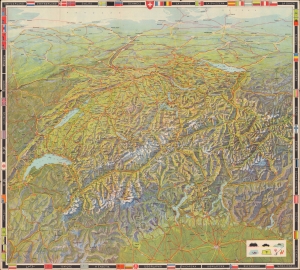
Mapa de Suíza a vista de pájaro.
sold
- Digital Map Information
- Suitable for large format printing
- Full resolution TIFF file
- ICC color profile embedded
- Delivered instantly via download link
A gorgeous 1938 bird's-eye view map of Switzerland, designed by Otto Betschmann and published by the Swiss National Tourism Office. It contains many interesting features, not least of which are blotted out German and Austrian flags along those countries' borders with Switzerland. (more details)