
Martini, Martino (sold)
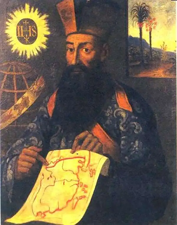
Martino Martini (September 20, 1614 - June 6, 1661) was an Italian Jesuit missionary, historian, and cartographer, working mainly on ancient Imperial China. He is acclaimed as the father of Chinese geographical science, as he was ‘the first to study the history and geography of China with rigorous scientific objectivity.' Born in Trento, in the Bishopric of Trent, he finished school in 1631. After, he entered the Society of Jesus and was sent to study classical letters and philosophy at the Roman College, Rome, from 1634 until 1637. He completed his theological studies in Portugal from 1637 until 1639 and was ordained as a priest in Lisbon in 1639. He left for China in 1640, arriving in 1642 in Portuguese Macau. He studied Chinese before, in 1642, moving to Hangzhou, Zhejiang Province. He spent much of his time traveling and gathering scientific information, particularly concerning the geography. In April 1644, soon after his arrival in China, the Ming capital Beijing fell to Li Zicheng’s rebels and then to the Manchus. Martini had been allied with the short-lived regime of Zhu Yujian, Prince of Tang, who declared himself the (Southern) Ming Longwu Emperor after the fall of the last legitimate Ming, the Chongzhen Emperor. When Wenzhou, where Martini was on a mission for Zhu Yujian, was about to fall to the Manchus, Martini convinced them to allow him to change sides. Before the Manchu troops entered the city, Martini created a large red poster stating, 'Here lives a doctor of the divine Law who has come from the Great West.' Below the poster he arranged tables with European books, astronomical instruments, and other objects surrounding an altar with an image of Jesus. The commander of the Manchu troops was so impressed by the display that he politely asked Martini to change sides. In 1651, Martini left China as the Delegate of the Chinese Mission Superior. Among the works he brought with him was Lo Hongxian's (羅洪先; 1504 - 1564) 1555 revision of Zhu Siben's (朱思本;1273 - 1333) 1312 manuscript atlas of the Chinese Provinces, Guang Yu Tu (廣與圖; 'Enlarged Territorial Atlas'). En route, his ship was captured by the Dutch, who apparently also saw Martini's value: they took him first to Java, and then to Amsterdam, where he arrived in 1654. During this intervening period, Martini translated the Zhu Siben atlas into Latin, and added his own description of China. The Blaeu mapmaking firm swiftly published Martini's map as Novus Atlas Sinensis, and later published Martini's description of China both on its own and within the Blaeu Atlas. After his circuitous journey, he reached Rome in the spring of 1655. He carried with him a long and detailed communication from the Jesuit missionaries in China, defending the so-called Chinese Rights (veneration of ancestors and other practices allowed to new Christians). After five months of discussions and debates, the Propaganda Fide issued a degree in favor of the Jesuits, although the controversy did not abate.
First European Atlas Map of the Beijing Region.
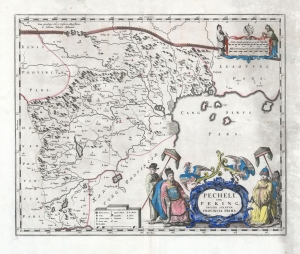
Pecheli, sive Peking, Imperii Sinarum Provincia Prima.
sold
- Digital Map Information
- Suitable for large format printing
- DPI: 600
- File Size: 46.6 MB
- File Type: ZIP / TIFF
- ICC color profile embedded
- Delivered instantly via download link
This is Martino Martini's 1655 map of Beijing / Peking vicinity, China, printed by Joan Blaeu for the Novus Atlas Sinensis, considered the first European atlas of China. The work was based on Chinese sources edited by Martini, who spent years in China, and thus was 'far in advance of any previous European work. For the period, it was remarkably accurate' (Tooley). (more details)
First appearance of Chinese geographical data in a European atlas.
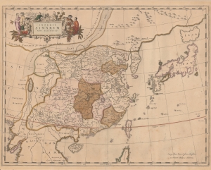
Imperii Sinarum Nova Descriptio.
sold
- Digital Map Information
- Suitable for large format printing
- Full resolution TIFF file
- ICC color profile embedded
- Delivered instantly via download link
This is the 1655 edition of Martino Martini and Johannes Blaeu's seminal map of China, Japan, and Korea, with fine old color. This is among the most important and influential maps of China issued in the 17th century, being the first publication of Martino Martini's revolutionary geographical data, brought to Europe just months earlier. (more details)
A map from the first Western atlas of China created by the 'first to study the history and geography of China with rigorous scientific objectivity.'
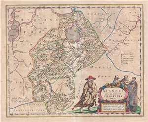
Kiangsi, Imperii Sinarum Provincia Octava.
sold
- Digital Map Information
- Suitable for large format printing
- DPI: 300
- File Size: 10.98 MB
- File Type: ZIP / TIFF
- ICC color profile embedded
- Delivered instantly via download link
This is a 1655 Martino Martini and Joan Blaeu map of Jiangxi (Kiangsi) Province in China. The map depicts the region from the Yangtze River and Poyang Lake to Guangdong (Quantung) Province and from Hunan (Huquang) Province to Zhejiang (Chekiang) Province. ... (more details)
A highly accurate map of Yunnan province from the first Western atlas of China!
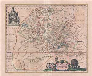
Iunnan Imperii Sinarum Provincia.
sold
- Digital Map Information
- Suitable for large format printing
- DPI: 300
- File Size: 10.55 MB
- File Type: ZIP / TIFF
- ICC color profile embedded
- Delivered instantly via download link
This is a 1655 Martino Martini and Joan Blaeu map of Yunnan (Iunnan) Province, China. The map depicts the region from Tibet to Guangxi Province and from Sichuan Province to Laos, Burma, and Vietnam. Highly detailed, cities, towns, and hamlets are labeled, ... (more details)
An beautiful and historic map of the region surrounding Shanghai and the Yangtze River.
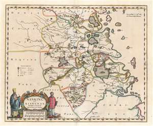
Nanking Sive Kiangnan, Imperii Sinarum Provincia Nona.
sold
- Digital Map Information
- Suitable for large format printing
- DPI: 600
- File Size: 24.16 MB
- File Type: ZIP / TIFF
- ICC color profile embedded
- Delivered instantly via download link
This is a 1662 Martino Martini and Joan Blaeu map of Jiangsu Province and Shanghai Municipality in China. The map depicts the environs of the lower Yangtze River from west of Nanjing (Kiangning) to the East China Sea. Numerous cities and towns are noted ... (more details)
One of the First Maps of China engraved in England.
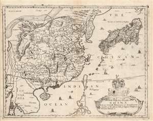
A New Mapp of y Empire of China With its severall Provinces or Kingdomes Together with the adjacent Isles of Japon or Niphon Formosa Hainan etc.
sold
- Digital Map Information
- Suitable for large format printing
- Full resolution TIFF file
- ICC color profile embedded
- Delivered instantly via download link
This is the scarce 1682 Richard Blome map of China, Korea, and Japan. This richly-detailed and surprisingly unique map was engraved in 1669 by the great Bohemian artist and etcher, Wenceslaus Hollar, who for most of his adult life practiced in his adopted England. Although most of the maps appearing in Blome's A Geographical Description of the Four Parts of the World were undisguised renditions of the work of the French geographer Nicolas Sanson, this map is derived from the work of Martino Martini, at least in part, via the atlas of China printed by Joan Blaeu in 1655.
Superficially, the map resembles the 1655 Blaeu Imperii Sinarum Nova Descriptio but this is no slavish copy. First, the area in focus differs: the western limits of this map extend perhaps five degrees less than the Blaeu, ending in the region of Pegu, where the Blaeu continues to Bengal; the southern limit of the Blome is five degrees north, whereas the Blaeu ends just beyond fifteen degrees. As a result, the Blome exchanges Blaeu's western expanses of blank desert for a more complete depiction of the Philippines, and a fuller treatment of the region of Southeast Asia (Siam / Thailand and Cochinchina / Vietnam). (more details)
Superficially, the map resembles the 1655 Blaeu Imperii Sinarum Nova Descriptio but this is no slavish copy. First, the area in focus differs: the western limits of this map extend perhaps five degrees less than the Blaeu, ending in the region of Pegu, where the Blaeu continues to Bengal; the southern limit of the Blome is five degrees north, whereas the Blaeu ends just beyond fifteen degrees. As a result, the Blome exchanges Blaeu's western expanses of blank desert for a more complete depiction of the Philippines, and a fuller treatment of the region of Southeast Asia (Siam / Thailand and Cochinchina / Vietnam). (more details)
Scarce and Elegantly-Engraved Map of the Far East.
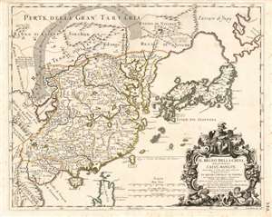
Il Regno Della China detto presentemente Catay e Mangin diviso sopra le Carte piú esatte sue Principali Provincie.
sold
- Digital Map Information
- Suitable for large format printing
- Full resolution TIFF file
- ICC color profile embedded
- Delivered instantly via download link
This is a rare 1682 Cantelli da Vignola map of China, Japan and Korea, presenting a striking and up-to-date view of the Far East benefitting from Jesuit and Dutch reports. Its framework and outline are derived from the 1552 Martino Martini map produced by Blaeu, but this map is significantly updated, at least in part, from the reports of the Jesuits Bento de Góis and Johann Grueber. (more details)