
McCloskey, Henry (sold)

Henry McCloskey (fl. c. 1863 - 1867) was a journalist working in Brooklyn in the mid 19th century. He was the first regular reporter employed by the Brooklyn Daily Eagle and consequently the first true Brooklyn reporter. When the editor Arnold resigned, McCloskey stepped up to the position became Editor-in-chief. An ardent southern sympathizer and fierce advocate of states' rights, McCloskey had no shame in using the Eagle to express his radical political views. In 1861, following the outbreak of the Civil War, McCloskey published a series of aggressive anti-war editorials. Shortly thereafter, the Eagle, along with several other news papers including the New York News, were accused of disloyalty to the Union and denied access to the U.S. Mail system. The charges were dropped when McCloskey resigned shortly afterwards. McCloskey's true interest was government and in 1863 he was voted city clerk for Brooklyn. He retained this position from 1863 to 1867. Both his predecessor and successor seem to have been William Bishop. One of the duties of the city clerk was to publish an annual report detailing the government, progress, urban planning and development of the city. The resulting Manual bearing the McCloskey name was published during his four years of tenure as City Clerk. The first Brooklyn Manual was published in 1855 following the consolidation of the city. The Manual was published under various names and in various forms until 1888.
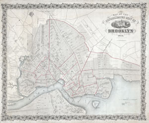
Map of the Consolidated City of Brooklyn.
sold
- Digital Map Information
- Suitable for large format printing
- File Size: 9.63 MB
- File Type: ZIP / TIFF
- ICC color profile embedded
- Delivered instantly via download link
An extremely rare first edition of Henry McCloskey's 1863 pocket map of the city of Brooklyn, New York. In the mid 19th century, fueled by the advent of the steam ferry, which made crossing the East River practical, Kings County experienced an massive population ... (more details)
Brooklyn and Manhattan in the lead-up to the Revolutionary War.
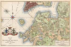
Plan of the Village of Brooklyn and part of Long Island 1766.
sold
- Digital Map Information
- Suitable for large format printing
- File Size: 11.57 MB
- File Type: ZIP / TIFF
- ICC color profile embedded
- Delivered instantly via download link
This is an unusual and appealing 1864 map of Brooklyn, New York, as it appeared in 1766, towards the end of the colonial period. The map depicts parts of modern-day Brooklyn from Red Hook to Bedford and from Williamsburg to Flatbush. The region is divided into land parcels which represent early land holdings. Various buildings are noted, some numerically, but the map offers no key to more specifically identifying them. (more details)
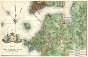
Plan of the Village of Brooklyn and part of Long Island 1766.
sold
- Digital Map Information
- Suitable for large format printing
- File Size: 7.07 MB
- File Type: ZIP / TIFF
- ICC color profile embedded
- Delivered instantly via download link
An unusual and appealing 1864 map of Brooklyn, New York, as it appeared in 1766, towards the end of the colonial period. Covers parts of modern day Brooklyn from Red Hook to Bedford and from Williamsburg to Flatbush. The region is shown divided up into land ... (more details)
One of the finest maps of Brooklyn to appear in the second half of the 19th century.
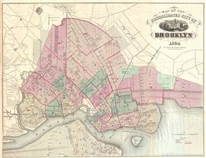
Map of the Consolidated City of Brooklyn.
sold
- Digital Map Information
- Suitable for large format printing
- File Size: 13.86 MB
- File Type: ZIP / TIFF
- ICC color profile embedded
- Delivered instantly via download link
An extremely example of Henry McCloskey's 1864 pocket map of the city of Brooklyn, New York. In the mid-19th century, fueled by the advent of the steam ferry, which made crossing the east River practical, Kings County experienced a massive population burst. ... (more details)
One of the finest maps of Brooklyn to appear in the second half of the 19th century.
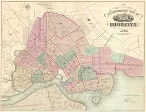
Map of the Consolidated City of Brooklyn.
sold
- Digital Map Information
- Suitable for large format printing
- File Size: 10.36 MB
- File Type: ZIP / TIFF
- ICC color profile embedded
- Delivered instantly via download link
This is an 1864 Henry McCloskey pocket map of the city of Brooklyn, New York. The map depicts from Newtown Creek to 59th Street and New Utrecht and from Ridgewood and the Cemetery of the Evergreens to the East River. In the mid-19th century, fueled by the ... (more details)
One of the finest maps of Brooklyn to appear in the second half of the 19th century.
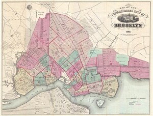
Map of the Consolidated City of Brooklyn.
sold
- Digital Map Information
- Suitable for large format printing
- File Size: 12.31 MB
- File Type: ZIP / TIFF
- ICC color profile embedded
- Delivered instantly via download link
An extremely attractive example of Henry McCloskey's 1865 pocket map of the city of Brooklyn, New York. Oriented to the East, this map covers from the Newtown Creek to Brooklyn's 59th Street and from East New York to the East River. In the mid-19th ... (more details)
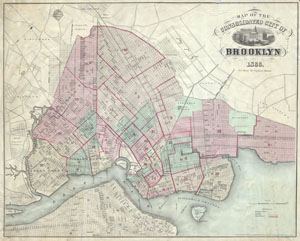
Map of the Consolidated City of Brooklyn.
sold
- Digital Map Information
- Suitable for large format printing
- File Size: 7.48 MB
- File Type: ZIP / TIFF
- ICC color profile embedded
- Delivered instantly via download link
An extremely rare later edition of Henry McCloskey's 1866 pocket map of the city of Brooklyn, New York. In the mid 19th century, fueled by the advent of the steam ferry, which made crossing the East River practical, Kings County experienced a ... (more details)